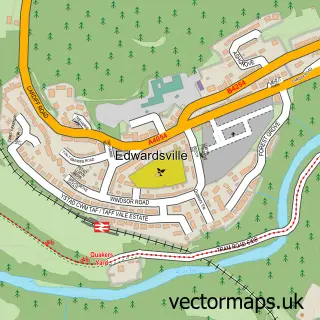
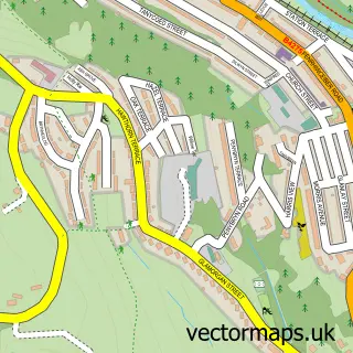
This Abercynon street map is a detailed vector street map covering a 750m x 750m area. Select a larger area to create and download your own vector street map of Abercynon.
The 750-metre map sample for Abercynon covers 222 mapped buildings and approximately 25.3 km of road detail, of which 40 named roads are named. The immediate area includes 1 railway station, 2 GP surgeries within 2 miles, 5 pubs and 7 MOT stations within 2 miles. The wider area around Abercynon features 1 tourism point of interest and 10 food and drink venues. To create a larger or custom map of Abercynon, the map builder lets you define your own coverage area and download editable SVG, PDF and PNG files.
Create a larger editable map of Abercynon
Choose any area you need and generate a high-quality vector map instantly. Perfect for print, planning, design, business and personal use.

This Abercynon street map in Mid Glamorgan is available as downloadable SVG, PDF and PNG map files, or as a printed map for planning, business, display, education, local information and design work. You can also create a larger custom map area using the map selector.
What this Abercynon map sample shows
Abercynon lies within Abercynon Community parish, part of Abercynon ward in the Rhondda Cynon Taf - Rhondda Cynon Taf local authority area. The postcode geography for this area includes the CF postcode area, the CF45 postcode district and the CF45 4 postcode sector. Residents fall under the Cwm Taf University Health Board for NHS services.
Local features near Abercynon
Within 2 milesAmenities and services in and around Abercynon.
Administrative and postcode information for Abercynon
Abercynon lies within Abercynon Community parish, part of Abercynon ward in the Rhondda Cynon Taf - Rhondda Cynon Taf local authority area. The postcode geography for this area includes the CF postcode area, the CF45 postcode district and the CF45 4 postcode sector. Residents fall under the Cwm Taf University Health Board for NHS services.
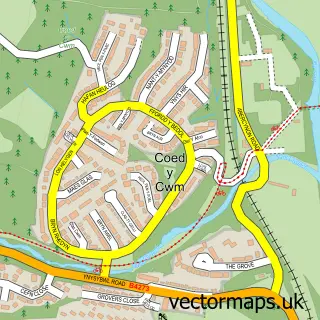
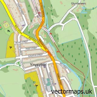
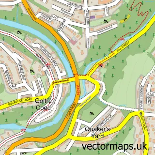
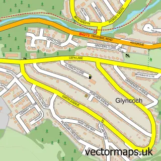
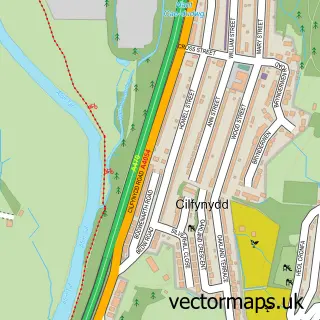
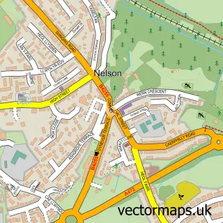
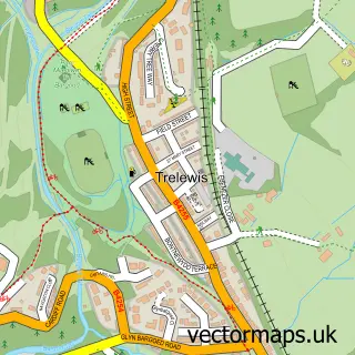
Nearby street map samples around Abercynon

More street maps in Mid Glamorgan
750 metre map area coverage
Boundary, postcode and point of interest information for the 750m x 750m rectangle centred on this sample map.
Boundaries containing map centre
Constituency: Pontypridd Co Const
District: Rhondda Cynon Taf - Rhondda Cynon Taf
Icb: Cwm Taf University
Parish: Abercynon Community
Police Force: south wales
Postcode District: CF45
Postcode Sector: CF45 4
Nearby boundaries intersecting sample
No additional intersecting boundaries found.
Postcode coverage
POI category counts
Convenience Store: 6
Beauty Salon: 5
Church Cathedral: 5
Pub: 5
Cafe: 4
Drugstore: 3
Pizza Restaurant: 3
Shipping Center: 3
Automotive Repair: 2
Barber: 2
Sample points of interest
- Abercynon Adult Education Centre
- Wellbeing Wales
- ATM (Post Office)
- Grip Puppy
- T2 Motorsport
- T2 Motorsport Rolling Road
- Lindsey Club Abercynon
- Scott's Barber Shop
- Scotts Barbers
- Hayley's Beauty & Holistics Salon
- Inner beauty
- Teresa's Hair + Beauty
Create a larger editable map of Abercynon
This sample shows only a 750 metre area. To create a larger map of Abercynon, use our map builder to choose your own coverage area, add titles and download editable SVG, PDF and PNG files.
Create a custom map of Abercynon