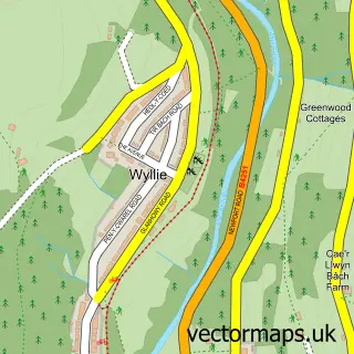
This Llanbradach street map is a detailed vector street map covering a 750m x 750m area. Select a larger area to create and download your own vector street map of Llanbradach.
The 750-metre map sample for Llanbradach covers 153 mapped buildings and approximately 14.2 km of road detail, of which 20 named roads are named. The immediate area includes 1 railway station, 1 GP surgery, with 2 within 2 miles, 1 pub and 7 MOT stations within 2 miles. The wider area around Llanbradach features 1 food and drink venue. To create a larger or custom map of Llanbradach, the map builder lets you define your own coverage area and download editable SVG, PDF and PNG files.
Create a larger editable map of Llanbradach
Choose any area you need and generate a high-quality vector map instantly. Perfect for print, planning, design, business and personal use.

This Llanbradach street map in Gwent is available as downloadable SVG, PDF and PNG map files, or as a printed map for planning, business, display, education, local information and design work. You can also create a larger custom map area using the map selector.
What this Llanbradach map sample shows
Llanbradach lies within Llanbradach And Pwllypant Community parish, part of Llanbradach ward in the Caerffili - Caerphilly local authority area. The postcode geography for this area includes the CF postcode area, the CF83 postcode district and the CF83 3 postcode sector. Residents fall under the Aneurin Bevan University Health Board for NHS services.
Local features near Llanbradach
Within 2 milesAmenities and services in and around Llanbradach.
Administrative and postcode information for Llanbradach
Llanbradach lies within Llanbradach And Pwllypant Community parish, part of Llanbradach ward in the Caerffili - Caerphilly local authority area. The postcode geography for this area includes the CF postcode area, the CF83 postcode district and the CF83 3 postcode sector. Residents fall under the Aneurin Bevan University Health Board for NHS services.
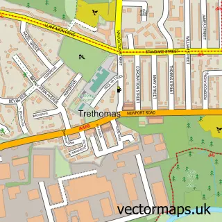
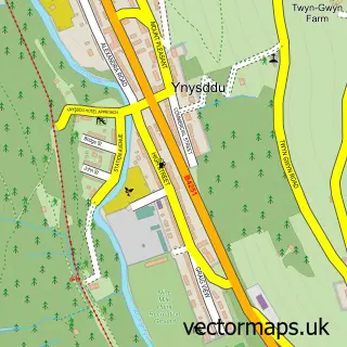
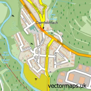
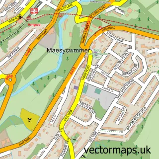
Nearby street map samples around Llanbradach
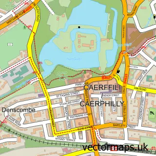

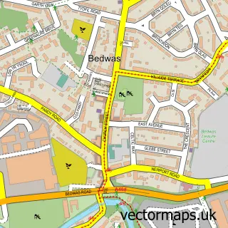
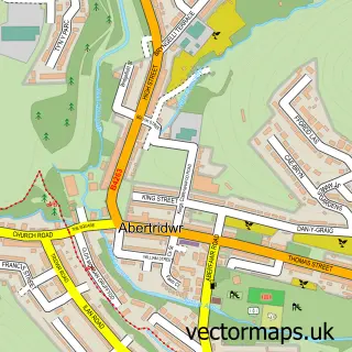
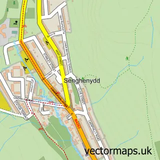
More street maps in Gwent
750 metre map area coverage
Boundary, postcode and point of interest information for the 750m x 750m rectangle centred on this sample map.
Boundaries containing map centre
Constituency: Caerphilly Co Const
District: Caerffili - Caerphilly
Icb: Aneurin Bevan University
Parish: Llanbradach and Pwllypant Community
Police Force: gwent
Postcode District: CF83
Postcode Sector: CF83 3
Nearby boundaries intersecting sample
Parish: Bedwas, Trethomas and Machen Community
Postcode coverage
POI category counts
Building Supply Store: 3
Beauty And Spa: 2
Convenience Store: 2
Doctor: 2
Pet Groomer: 2
Plumbing: 2
Post Office: 2
Sports Club And League: 2
Art Gallery: 1
Automotive Repair: 1
Sample points of interest
- BaseArt Studio
- Browns Motor Services
- Aura Salon Gents
- Kim's Permanent Makeup Caerphilly
- Sadies Hair & Beauty Base
- A & M Bishop
- Delta Star Energy
- Jj Roofing
- Caerphilly Roofing Services
- Llanbradach Community Centre
- Llanbradach Convenience Store
- Premier
Create a larger editable map of Llanbradach
This sample shows only a 750 metre area. To create a larger map of Llanbradach, use our map builder to choose your own coverage area, add titles and download editable SVG, PDF and PNG files.
Create a custom map of Llanbradach