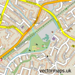
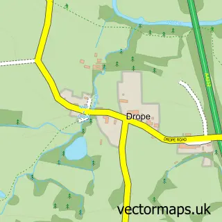
This Michaelston-le-Pit street map is a detailed vector street map covering a 750m x 750m area. Select a larger area to create and download your own vector street map of Michaelston-le-Pit.
The 750-metre map sample for Michaelston-le-Pit covers 37 mapped buildings and approximately 3.4 km of road detail, of which 1 named road are named. The immediate area includes 25 MOT stations within 2 miles. To create a larger or custom map of Michaelston-le-Pit, the map builder lets you define your own coverage area and download editable SVG, PDF and PNG files.
Create a larger editable map of Michaelston-le-Pit
Choose any area you need and generate a high-quality vector map instantly. Perfect for print, planning, design, business and personal use.

This Michaelston-le-Pit street map in South Glamorgan is available as downloadable SVG, PDF and PNG map files, or as a printed map for planning, business, display, education, local information and design work. You can also create a larger custom map area using the map selector.
What this Michaelston-le-Pit map sample shows
Michaelston-le-Pit lies within Michaelston-Le-Pit And Leckwith Community parish, part of Dinas Powys ward in the Bro Morgannwg - The Vale Of Glamorgan local authority area. The postcode geography for this area includes the CF postcode area, the CF64 postcode district and the CF64 4 postcode sector. Residents fall under the Cardiff And Vale University Health Board for NHS services.
Local features near Michaelston-le-Pit
Within 2 milesAmenities and services in and around Michaelston-le-Pit.
Administrative and postcode information for Michaelston-le-Pit
The local authority covering Michaelston-le-Pit is Bro Morgannwg - The Vale Of Glamorgan, within the county of South Glamorgan. The settlement lies within Dinas Powys ward and Michaelston-Le-Pit And Leckwith Community civil parish. The CF64 postcode district and CF64 4 postcode sector serve the immediate area. NHS provision in the area is delivered through Cardiff And Vale University Health Board.
Nearby street map samples around Michaelston-le-Pit

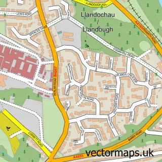
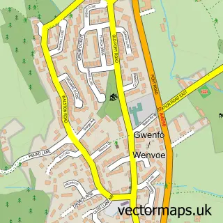
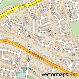

More street maps in South Glamorgan

750 metre map area coverage
Boundary, postcode and point of interest information for the 750m x 750m rectangle centred on this sample map.
Boundaries containing map centre
Constituency: Cardiff South and Penarth Boro Const
District: Bro Morgannwg - the Vale of Glamorgan
Icb: Cardiff and Vale University
Parish: Michaelston-le-Pit and Leckwith Community
Police Force: south wales
Postcode District: CF64
Postcode Sector: CF64 4
Nearby boundaries intersecting sample
Postcode District: CF11
Postcode Sector: CF11 8
Postcode coverage
POI category counts
Building Supply Store: 2
Business To Business Services: 1
Church Cathedral: 1
Hair Salon: 1
Sample points of interest
- Acorn Tree Services
- M J Construction
- Uk Commercial Gas
- St Michael and All Angels Church
- The Glow Clinic
Create a larger editable map of Michaelston-le-Pit
This sample shows only a 750 metre area. To create a larger map of Michaelston-le-Pit, use our map builder to choose your own coverage area, add titles and download editable SVG, PDF and PNG files.
Create a custom map of Michaelston-le-Pit