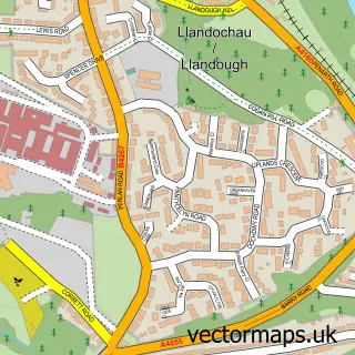
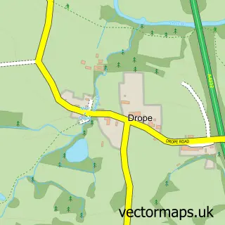
This Penarth street map is a detailed vector street map covering a 750m x 750m area. Select a larger area to create and download your own vector street map of Penarth.
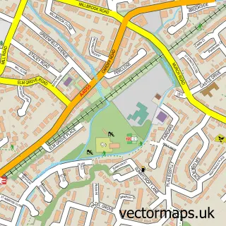
The 750-metre map sample for Penarth covers 440 mapped buildings and approximately 21.4 km of road detail, of which 50 named roads are named. The immediate area includes 2 schools, 1 railway station, 2 pubs and 2 MOT stations, with 13 within 2 miles. The wider area around Penarth features 5 tourism points of interest, 13 food and drink venues and 2 hotels. To create a larger or custom map of Penarth, the map builder lets you define your own coverage area and download editable SVG, PDF and PNG files.
Create a larger editable map of Penarth
Choose any area you need and generate a high-quality vector map instantly. Perfect for print, planning, design, business and personal use.

This Penarth street map in South Glamorgan is available as downloadable SVG, PDF and PNG map files, or as a printed map for planning, business, display, education, local information and design work. You can also create a larger custom map area using the map selector.
What this Penarth map sample shows
Penarth lies within Penarth Community parish, part of St. Augustine's ward in the Bro Morgannwg - The Vale Of Glamorgan local authority area. The postcode geography for this area includes the CF postcode area, the CF64 postcode district and the CF64 3 postcode sector. Residents fall under the Cardiff And Vale University Health Board for NHS services.
Local features near Penarth
Within 2 milesAmenities and services in and around Penarth.
Administrative and postcode information for Penarth
Penarth lies within Penarth Community parish, part of St. Augustine's ward in the Bro Morgannwg - The Vale Of Glamorgan local authority area. The postcode geography for this area includes the CF postcode area, the CF64 postcode district and the CF64 3 postcode sector. Residents fall under the Cardiff And Vale University Health Board for NHS services.
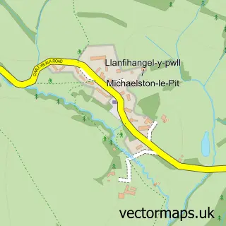
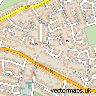
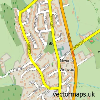
Nearby street map samples around Penarth


More street maps in South Glamorgan
750 metre map area coverage
Boundary, postcode and point of interest information for the 750m x 750m rectangle centred on this sample map.
Boundaries containing map centre
Constituency: Cardiff South and Penarth Boro Const
District: Bro Morgannwg - the Vale of Glamorgan
Icb: Cardiff and Vale University
Parish: Penarth Community
Police Force: south wales
Postcode District: CF64
Postcode Sector: CF64 3
Nearby boundaries intersecting sample
Postcode Sector: CF64 1, CF64 2
Postcode coverage
POI category counts
Charity Organization: 10
Hair Salon: 10
Financial Service: 8
Flowers And Gifts Shop: 8
Advertising Agency: 7
Automotive Repair: 6
Church Cathedral: 6
Beauty Salon: 5
Dentist: 5
It Service And Computer Repair: 5
Sample points of interest
- Evans Entwistle Chartered Management Accountants & Tax Advisors
- Gwenan Evans Acupuncture
- Behind the Seen
- Caffeine Creative Limited
- Crandon
- Eugein
- Magnet Creative Design
- The Media Angel
- Washington Design Consultants
- Mathew Atkins
- Penarth Natural Health Services
- AGD Amusements
Create a larger editable map of Penarth
This sample shows only a 750 metre area. To create a larger map of Penarth, use our map builder to choose your own coverage area, add titles and download editable SVG, PDF and PNG files.
Create a custom map of Penarth