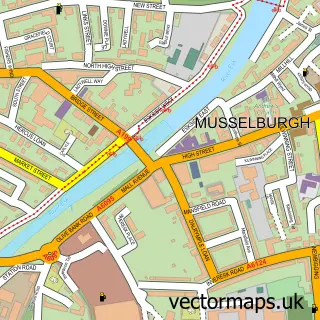
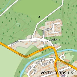
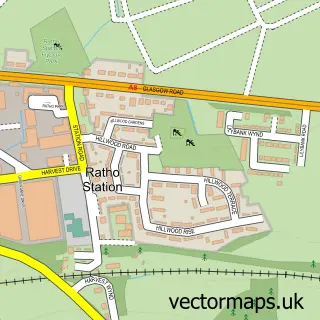
This Edinburgh street map is a detailed vector street map covering a 750m x 750m area. Select a larger area to create and download your own vector street map of Edinburgh.
The 750-metre map sample for Edinburgh covers 105 mapped buildings and approximately 19.9 km of road detail, of which 53 named roads are named. The immediate area includes 2 railway stations, 31 GP surgeries within 2 miles, 44 pubs and 41 MOT stations within 2 miles. The wider area around Edinburgh features 67 tourism points of interest, 158 food and drink venues and 64 hotels. To create a larger or custom map of Edinburgh, the map builder lets you define your own coverage area and download editable SVG, PDF and PNG files.
Create a larger editable map of Edinburgh
Choose any area you need and generate a high-quality vector map instantly. Perfect for print, planning, design, business and personal use.

This Edinburgh street map in City of Edinburgh is available as downloadable SVG, PDF and PNG map files, or as a printed map for planning, business, display, education, local information and design work. You can also create a larger custom map area using the map selector.
What this Edinburgh map sample shows
Edinburgh lies within City Of Edinburgh parish, part of Leith ward in the City Of Edinburgh local authority area. The postcode geography for this area includes the EH postcode area, the EH6 postcode district and the EH6 7 postcode sector. Residents fall under the Lothian for NHS services.
Local features near Edinburgh
Within 2 milesAmenities and services in and around Edinburgh.
Administrative and postcode information for Edinburgh
Edinburgh lies within City Of Edinburgh parish, part of Leith ward in the City Of Edinburgh local authority area. The postcode geography for this area includes the EH postcode area, the EH6 postcode district and the EH6 7 postcode sector. Residents fall under the Lothian for NHS services.
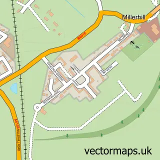
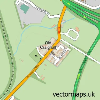
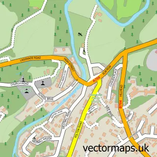
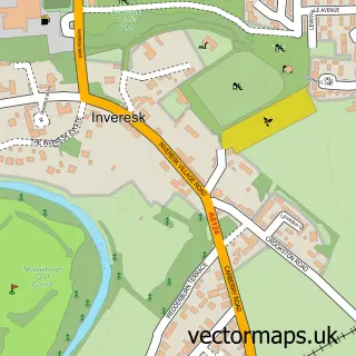
Nearby street map samples around Edinburgh
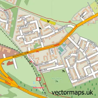
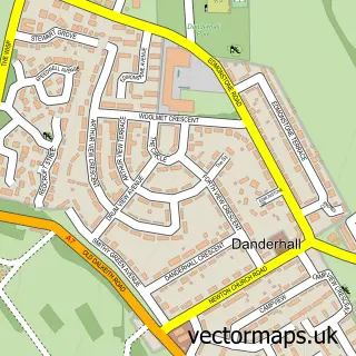
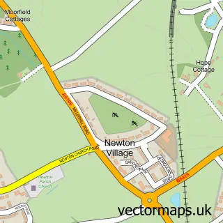
More street maps in City of Edinburgh
750 metre map area coverage
Boundary, postcode and point of interest information for the 750m x 750m rectangle centred on this sample map.
Boundaries containing map centre
Constituency: Edinburgh East and Musselburgh Burgh Const
District: City of Edinburgh
Icb: Lothian
Postcode District: EH1
Postcode Sector: EH1 1
Ward: City Centre Ward
Nearby boundaries intersecting sample
Constituency: Edinburgh North and Leith Burgh Const
Postcode District: EH2, EH3, EH7, EH8
Postcode Sector: EH1 2, EH1 3, EH2 1, EH2 2, EH3 6, EH7 5
Postcode coverage
POI category counts
Clothing Store: 80
Hotel: 64
Pub: 44
Cafe: 41
Restaurant: 40
Coffee Shop: 33
Landmark And Historical Building: 32
Bar: 29
Cosmetic And Beauty Supplies: 29
Jewelry Store: 27
Sample points of interest
- Edinburgh Drug and Alcohol Partnership
- Apartments Royal
- Cheval The Edinburgh Grand
- The Ocean Ball
- एडिनबर्ग
- Admiral Tax
- Loch Ness, Scotland
- Paul Cairns Fitness
- Stuart Maytham Personal Training
- 39steps
- Balanced Impact
- CACI Information Services
Create a larger editable map of Edinburgh
This sample shows only a 750 metre area. To create a larger map of Edinburgh, use our map builder to choose your own coverage area, add titles and download editable SVG, PDF and PNG files.
Create a custom map of Edinburgh