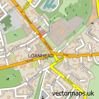
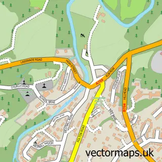
This Bilston street map is a detailed vector street map covering a 750m x 750m area. Select a larger area to create and download your own vector street map of Bilston.
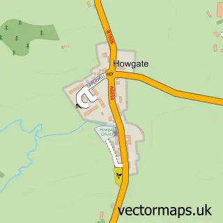
The 750-metre map sample for Bilston covers 299 mapped buildings and approximately 11.4 km of road detail, of which 15 named roads are named. The immediate area includes 2 GP surgeries within 2 miles and 9 MOT stations within 2 miles. The wider area around Bilston features 1 food and drink venue and 1 campsite within 2 miles. To create a larger or custom map of Bilston, the map builder lets you define your own coverage area and download editable SVG, PDF and PNG files.
Create a larger editable map of Bilston
Choose any area you need and generate a high-quality vector map instantly. Perfect for print, planning, design, business and personal use.

This Bilston street map in Midlothian is available as downloadable SVG, PDF and PNG map files, or as a printed map for planning, business, display, education, local information and design work. You can also create a larger custom map area using the map selector.
What this Bilston map sample shows
Bilston lies within Midlothian parish, part of Midlothian West ward in the Midlothian local authority area. The postcode geography for this area includes the EH postcode area, the EH25 postcode district and the EH25 9 postcode sector. Residents fall under the Lothian for NHS services.
Local features near Bilston
Within 2 milesAmenities and services in and around Bilston.
Administrative and postcode information for Bilston
Bilston lies within Midlothian parish, part of Midlothian West ward in the Midlothian local authority area. The postcode geography for this area includes the EH postcode area, the EH25 postcode district and the EH25 9 postcode sector. Residents fall under the Lothian for NHS services.
Nearby street map samples around Bilston

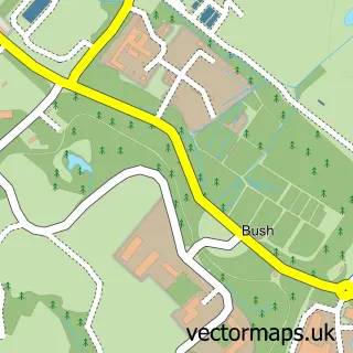
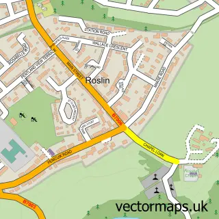
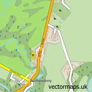
More street maps in Midlothian
750 metre map area coverage
Boundary, postcode and point of interest information for the 750m x 750m rectangle centred on this sample map.
Boundaries containing map centre
Constituency: Midlothian Co Const
District: Midlothian
Icb: Lothian
Postcode District: EH25
Postcode Sector: EH25 9
Ward: Midlothian West Ward
Nearby boundaries intersecting sample
Postcode District: EH10, EH20
Postcode Sector: EH10 7, EH20 9
Postcode coverage
POI category counts
Driving School: 2
Professional Services: 2
Auto Company: 1
Automotive Repair: 1
B2b Autos And Vehicles: 1
Beauty Salon: 1
Building Supply Store: 1
Cafe: 1
Catholic Church: 1
Elementary School: 1
Sample points of interest
- Fleet Management Services UK Ltd Bilston
- Motability Scheme at Clark Commercials Edinburgh
- Clark Commercials Edinburgh
- Avenue Nails & Beauty
- Macdonald Edinburgh Electrical Limited
- Ian's Wee Cafe
- Bilston Parish Church
- Red 2 Green Driving School
- Red2green Driving School Edinburgh
- Bilston Primary School
- Montgomery Upholstery
- Shirley McGinty
Create a larger editable map of Bilston
This sample shows only a 750 metre area. To create a larger map of Bilston, use our map builder to choose your own coverage area, add titles and download editable SVG, PDF and PNG files.
Create a custom map of Bilston