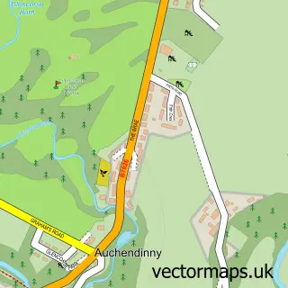
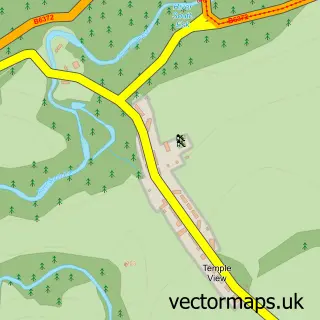
This Rosewell street map is a detailed vector street map covering a 750m x 750m area. Select a larger area to create and download your own vector street map of Rosewell.
The 750-metre map sample for Rosewell covers 352 mapped buildings and approximately 15.4 km of road detail, of which 20 named roads are named. The immediate area includes 1 GP surgery within 2 miles, 1 pub and 1 MOT station, with 4 within 2 miles. The wider area around Rosewell features 1 tourism point of interest, 3 food and drink venues and 1 campsite within 2 miles. To create a larger or custom map of Rosewell, the map builder lets you define your own coverage area and download editable SVG, PDF and PNG files.
Create a larger editable map of Rosewell
Choose any area you need and generate a high-quality vector map instantly. Perfect for print, planning, design, business and personal use.

This Rosewell street map in Midlothian is available as downloadable SVG, PDF and PNG map files, or as a printed map for planning, business, display, education, local information and design work. You can also create a larger custom map area using the map selector.
What this Rosewell map sample shows
Rosewell lies within Midlothian parish, part of Midlothian West ward in the Midlothian local authority area. The postcode geography for this area includes the EH postcode area, the EH24 postcode district and the EH24 9 postcode sector. Residents fall under the Lothian for NHS services.
Local features near Rosewell
Within 2 milesAmenities and services in and around Rosewell.
Administrative and postcode information for Rosewell
Rosewell lies within Midlothian parish, part of Midlothian West ward in the Midlothian local authority area. The postcode geography for this area includes the EH postcode area, the EH24 postcode district and the EH24 9 postcode sector. Residents fall under the Lothian for NHS services.
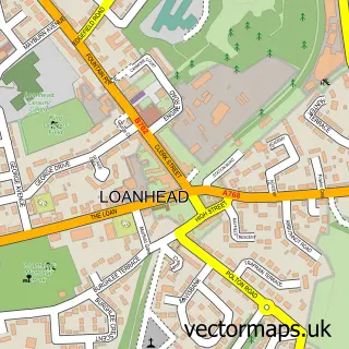
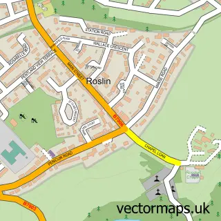
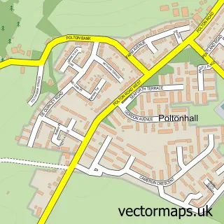
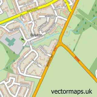
Nearby street map samples around Rosewell

More street maps in Midlothian
750 metre map area coverage
Boundary, postcode and point of interest information for the 750m x 750m rectangle centred on this sample map.
Boundaries containing map centre
Constituency: Midlothian Co Const
District: Midlothian
Icb: Lothian
Postcode District: EH24
Postcode Sector: EH24 9
Ward: Midlothian West Ward
Nearby boundaries intersecting sample
Postcode District: EH18
Postcode Sector: EH18 1
Ward: Midlothian South Ward
Postcode coverage
POI category counts
Beauty Salon: 3
Building Supply Store: 2
Contractor: 2
Pet Groomer: 2
Auction House: 1
Barber: 1
Cafe: 1
Catholic Church: 1
Convenience Store: 1
Elementary School: 1
Sample points of interest
- Thomson Roddick Scottish Auctions
- Sam's Barber Shop
- EH24 Hair and Beauty
- Pixie Parlour
- Roselux Hair & Beauty
- B C S
- Protective & Decorative Surface Coatings
- Vin's Cafe
- Rosewell Parish Church
- O'Donnell Building Services
- Pendrich Height Services
- Loves local
Create a larger editable map of Rosewell
This sample shows only a 750 metre area. To create a larger map of Rosewell, use our map builder to choose your own coverage area, add titles and download editable SVG, PDF and PNG files.
Create a custom map of Rosewell