This Polton street map is a detailed vector street map covering a 750m x 750m area. Select a larger area to create and download your own vector street map of Polton.
The 750-metre map sample for Polton covers 347 mapped buildings and approximately 12.7 km of road detail, of which 24 named roads are named. The immediate area includes 4 GP surgeries within 2 miles, 1 pub and 13 MOT stations within 2 miles. The wider area around Polton features 1 food and drink venue and 1 campsite within 2 miles. To create a larger or custom map of Polton, the map builder lets you define your own coverage area and download editable SVG, PDF and PNG files.
Create a larger editable map of Polton
Choose any area you need and generate a high-quality vector map instantly. Perfect for print, planning, design, business and personal use.

This Polton street map in Midlothian is available as downloadable SVG, PDF and PNG map files, or as a printed map for planning, business, display, education, local information and design work. You can also create a larger custom map area using the map selector.
What this Polton map sample shows
Polton lies within Midlothian parish, part of Bonnyrigg ward in the Midlothian local authority area. The postcode geography for this area includes the EH postcode area, the EH19 postcode district and the EH19 3 postcode sector. Residents fall under the Lothian for NHS services.
Local features near Polton
Within 2 milesAmenities and services in and around Polton.
Administrative and postcode information for Polton
The local authority covering Polton is Midlothian, within the county of Midlothian. The settlement lies within Bonnyrigg ward and Midlothian civil parish. The EH19 postcode district and EH19 3 postcode sector serve the immediate area. NHS provision in the area is delivered through Lothian.
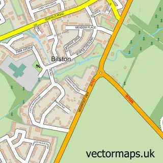
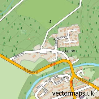
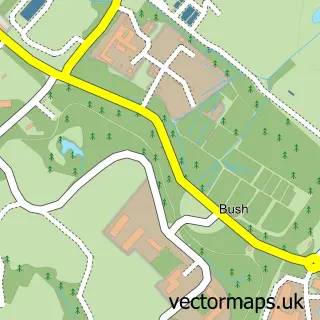
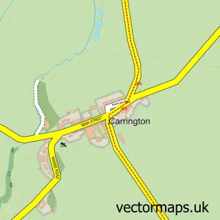
Nearby street map samples around Polton
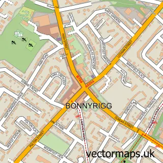

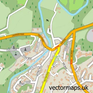
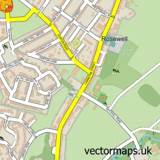
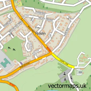
More street maps in Midlothian
750 metre map area coverage
Boundary, postcode and point of interest information for the 750m x 750m rectangle centred on this sample map.
Boundaries containing map centre
Constituency: Midlothian Co Const
District: Midlothian
Icb: Lothian
Postcode District: EH19
Postcode Sector: EH19 2
Ward: Bonnyrigg Ward
Nearby boundaries intersecting sample
Postcode District: EH18
Postcode Sector: EH18 1
Ward: Midlothian West Ward
Postcode coverage
POI category counts
Contractor: 2
Automotive: 1
Automotive Repair: 1
Building Supply Store: 1
Computer Wholesaler: 1
Furniture Accessory Store: 1
Garbage Collection Service: 1
Insurance Agency: 1
Plumbing: 1
Pub: 1
Sample points of interest
- Peter Beck Trailers
- Dentcentral
- John Lessels Landscaping
- Clearway Aerials
- Hyram Construction Limited
- Kitchen & Bathrooms
- Illusion Fine Finishers
- Scot Skips
- InsureXpert
- SD Plumbing & Heating
- Polton Inn
- Treasured Memories Scotland
Create a larger editable map of Polton
This sample shows only a 750 metre area. To create a larger map of Polton, use our map builder to choose your own coverage area, add titles and download editable SVG, PDF and PNG files.
Create a custom map of Polton