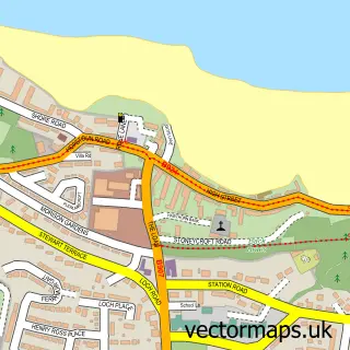
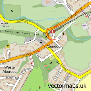
This Dalmeny street map is a detailed vector street map covering a 750m x 750m area. Select a larger area to create and download your own vector street map of Dalmeny.
The 750-metre map sample for Dalmeny covers 163 mapped buildings and approximately 15.2 km of road detail, of which 15 named roads are named. The immediate area includes 1 GP surgery within 2 miles and 2 MOT stations within 2 miles. The wider area around Dalmeny features 1 tourism point of interest. To create a larger or custom map of Dalmeny, the map builder lets you define your own coverage area and download editable SVG, PDF and PNG files.
Create a larger editable map of Dalmeny
Choose any area you need and generate a high-quality vector map instantly. Perfect for print, planning, design, business and personal use.

This Dalmeny street map in City of Edinburgh is available as downloadable SVG, PDF and PNG map files, or as a printed map for planning, business, display, education, local information and design work. You can also create a larger custom map area using the map selector.
What this Dalmeny map sample shows
Dalmeny lies within City Of Edinburgh parish, part of Almond ward in the City Of Edinburgh local authority area. The postcode geography for this area includes the EH postcode area, the EH30 postcode district and the EH30 9 postcode sector. Residents fall under the Lothian for NHS services.
Local features near Dalmeny
Within 2 milesAmenities and services in and around Dalmeny.
Administrative and postcode information for Dalmeny
Dalmeny lies within City Of Edinburgh parish, part of Almond ward in the City Of Edinburgh local authority area. The postcode geography for this area includes the EH postcode area, the EH30 postcode district and the EH30 9 postcode sector. Residents fall under the Lothian for NHS services.
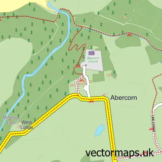
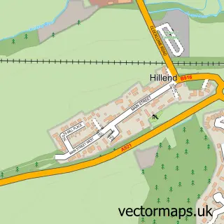
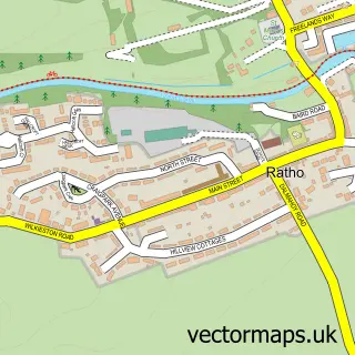
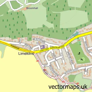
Nearby street map samples around Dalmeny

More street maps in City of Edinburgh
750 metre map area coverage
Boundary, postcode and point of interest information for the 750m x 750m rectangle centred on this sample map.
Boundaries containing map centre
Constituency: Edinburgh West Burgh Const
District: City of Edinburgh
Icb: Lothian
Postcode District: EH30
Postcode Sector: EH30 9
Ward: Almond Ward
Nearby boundaries intersecting sample
No additional intersecting boundaries found.
Postcode coverage
POI category counts
Church Cathedral: 2
Accommodation: 1
Advertising Agency: 1
Bridge: 1
Building Supply Store: 1
Childrens Clothing Store: 1
Cosmetic And Beauty Supplies: 1
Driving School: 1
Elementary School: 1
Flooring Store: 1
Sample points of interest
- Dalmeny Village
- Smash Digital Design Agency
- Forth Rail Bridge Dalmeny
- Flooring Genius
- Nippers Nursery
- Dalmeny Kirk
- Église Saint-Cuthbert de Dalmeny
- Oir Soap
- dalmenydrivertraining
- Dalmeny Primary School and Nursery
- Ferguson carpets And Flooring
- Dalmeny Joinery
Create a larger editable map of Dalmeny
This sample shows only a 750 metre area. To create a larger map of Dalmeny, use our map builder to choose your own coverage area, add titles and download editable SVG, PDF and PNG files.
Create a custom map of Dalmeny