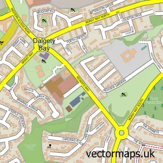
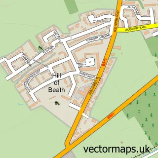
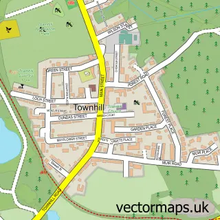
This Hillend street map is a detailed vector street map covering a 750m x 750m area. Select a larger area to create and download your own vector street map of Hillend.
The 750-metre map sample for Hillend covers 122 mapped buildings and approximately 6.8 km of road detail, of which 9 named roads are named. The immediate area includes 2 GP surgeries within 2 miles, 2 pubs and 7 MOT stations within 2 miles. The wider area around Hillend features 2 food and drink venues. To create a larger or custom map of Hillend, the map builder lets you define your own coverage area and download editable SVG, PDF and PNG files.
Create a larger editable map of Hillend
Choose any area you need and generate a high-quality vector map instantly. Perfect for print, planning, design, business and personal use.

This Hillend street map in Fife is available as downloadable SVG, PDF and PNG map files, or as a printed map for planning, business, display, education, local information and design work. You can also create a larger custom map area using the map selector.
What this Hillend map sample shows
Hillend lies within Fife parish, part of Inverkeithing And Dalgety Bay ward in the Fife local authority area. The postcode geography for this area includes the KY postcode area, the KY11 postcode district and the KY11 9 postcode sector. Residents fall under the Fife for NHS services.
Local features near Hillend
Within 2 milesAmenities and services in and around Hillend.
Administrative and postcode information for Hillend
Hillend lies within Fife parish, part of Inverkeithing And Dalgety Bay ward in the Fife local authority area. The postcode geography for this area includes the KY postcode area, the KY11 postcode district and the KY11 9 postcode sector. Residents fall under the Fife for NHS services.
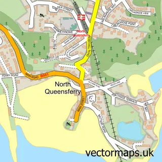
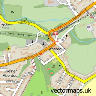
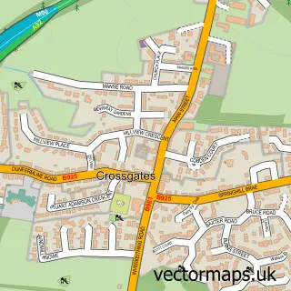
Nearby street map samples around Hillend

More street maps in Fife
750 metre map area coverage
Boundary, postcode and point of interest information for the 750m x 750m rectangle centred on this sample map.
Boundaries containing map centre
Constituency: Cowdenbeath and Kirkcaldy Co Const
District: Fife
Icb: Fife
Postcode District: KY11
Postcode Sector: KY11 9
Ward: Inverkeithing and Dalgety Bay Ward
Nearby boundaries intersecting sample
Postcode Sector: KY11 1, KY11 7
Postcode coverage
POI category counts
Bed And Breakfast: 2
Pub: 2
Automotive Repair: 1
Building Supply Store: 1
Business To Business Services: 1
Construction Services: 1
Contractor: 1
Flowers And Gifts Shop: 1
Public Service And Government: 1
Translation Services: 1
Sample points of interest
- Hillend Motor Services
- Bay and Bridge
- The Bay and Bridge
- Garden Design Fife
- Komorebi Coaching
- Pj Mchale Joiners & Builders
- KBM Joinery Ltd
- Lorna's Flowers
- Hillend Tavern
- The Hillend Tavern
- Hillend Cemetery
- Catherine Roux
Create a larger editable map of Hillend
This sample shows only a 750 metre area. To create a larger map of Hillend, use our map builder to choose your own coverage area, add titles and download editable SVG, PDF and PNG files.
Create a custom map of Hillend