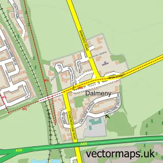
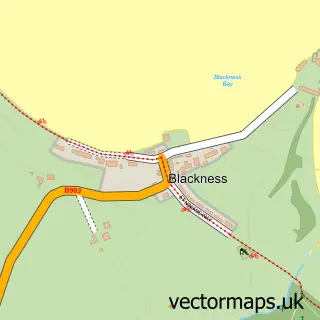
This South Queensferry street map is a detailed vector street map covering a 750m x 750m area. Select a larger area to create and download your own vector street map of South Queensferry.
The 750-metre map sample for South Queensferry covers 250 mapped buildings and approximately 11.0 km of road detail, of which 25 named roads are named. The immediate area includes 1 GP surgery, 2 pubs and 1 MOT station, with 2 within 2 miles. The wider area around South Queensferry features 3 tourism points of interest, 14 food and drink venues and 3 hotels. To create a larger or custom map of South Queensferry, the map builder lets you define your own coverage area and download editable SVG, PDF and PNG files.
Create a larger editable map of South Queensferry
Choose any area you need and generate a high-quality vector map instantly. Perfect for print, planning, design, business and personal use.

This South Queensferry street map in City of Edinburgh is available as downloadable SVG, PDF and PNG map files, or as a printed map for planning, business, display, education, local information and design work. You can also create a larger custom map area using the map selector.
What this South Queensferry map sample shows
South Queensferry lies within City Of Edinburgh parish, part of Almond ward in the City Of Edinburgh local authority area. The postcode geography for this area includes the EH postcode area, the EH30 postcode district and the EH30 9 postcode sector. Residents fall under the Lothian for NHS services.
Local features near South Queensferry
Within 2 milesAmenities and services in and around South Queensferry.
Administrative and postcode information for South Queensferry
South Queensferry lies within City Of Edinburgh parish, part of Almond ward in the City Of Edinburgh local authority area. The postcode geography for this area includes the EH postcode area, the EH30 postcode district and the EH30 9 postcode sector. Residents fall under the Lothian for NHS services.
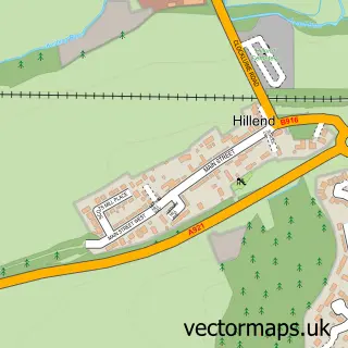
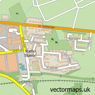
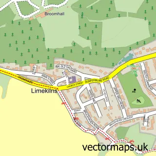
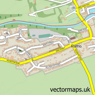
Nearby street map samples around South Queensferry

More street maps in City of Edinburgh
750 metre map area coverage
Boundary, postcode and point of interest information for the 750m x 750m rectangle centred on this sample map.
Boundaries containing map centre
Constituency: Edinburgh West Burgh Const
District: City of Edinburgh
Icb: Lothian
Postcode District: EH30
Postcode Sector: EH30 9
Ward: Almond Ward
Nearby boundaries intersecting sample
No additional intersecting boundaries found.
Postcode coverage
POI category counts
Restaurant: 6
Professional Services: 5
Bakery: 4
Coffee Shop: 4
Hair Salon: 4
Advertising Agency: 3
Bar: 3
Barber: 3
Charity Organization: 3
Flowers And Gifts Shop: 3
Sample points of interest
- Peter Mckinney Associates
- Ah Brilliant
- Altic
- Blood Creative
- Sea Kist
- Bella Vista
- The Shore
- WTArchitecture
- Scotmid - South Queensferry 0100
- Highway One Detailing
- Rogue Detailing
- Borthwick Autoshop
Create a larger editable map of South Queensferry
This sample shows only a 750 metre area. To create a larger map of South Queensferry, use our map builder to choose your own coverage area, add titles and download editable SVG, PDF and PNG files.
Create a custom map of South Queensferry