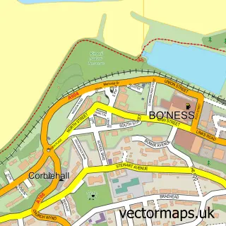
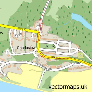
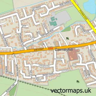
This Blackness street map is a detailed vector street map covering a 750m x 750m area. Select a larger area to create and download your own vector street map of Blackness.
The 750-metre map sample for Blackness covers 45 mapped buildings and approximately 3.4 km of road detail, of which 1 named road are named. The immediate area includes 1 pub and 1 MOT station within 2 miles. The wider area around Blackness features 1 food and drink venue. To create a larger or custom map of Blackness, the map builder lets you define your own coverage area and download editable SVG, PDF and PNG files.
Create a larger editable map of Blackness
Choose any area you need and generate a high-quality vector map instantly. Perfect for print, planning, design, business and personal use.

This Blackness street map in Stirling and Falkirk is available as downloadable SVG, PDF and PNG map files, or as a printed map for planning, business, display, education, local information and design work. You can also create a larger custom map area using the map selector.
What this Blackness map sample shows
Blackness lies within Falkirk parish, part of Bo'ness And Blackness ward in the Falkirk local authority area. The postcode geography for this area includes the EH postcode area, the EH49 postcode district and the EH49 7 postcode sector. Residents fall under the Forth Valley for NHS services.
Local features near Blackness
Within 2 milesAmenities and services in and around Blackness.
Administrative and postcode information for Blackness
The local authority covering Blackness is Falkirk, within the county of Stirling And Falkirk. The settlement lies within Bo'ness And Blackness ward and Falkirk civil parish. The EH49 postcode district and EH49 7 postcode sector serve the immediate area. NHS provision in the area is delivered through Forth Valley.
Nearby street map samples around Blackness

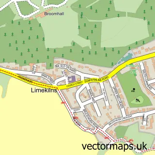
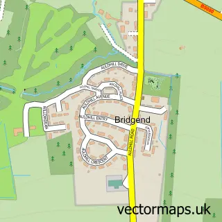
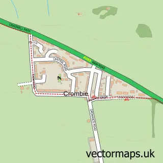
More street maps in Stirling and Falkirk
750 metre map area coverage
Boundary, postcode and point of interest information for the 750m x 750m rectangle centred on this sample map.
Boundaries containing map centre
Constituency: Bathgate and Linlithgow Co Const
District: Falkirk
Icb: Forth Valley
Postcode District: EH49
Postcode Sector: EH49 7
Ward: Bo'ness and Blackness Ward
Nearby boundaries intersecting sample
District: West Lothian
Icb: Lothian
Postcode District: EH30
Postcode Sector: EH30 9
Ward: Linlithgow Ward
Postcode coverage
POI category counts
Beach: 1
Labor Union: 1
Pub: 1
Sports Club And League: 1
Structure And Geography: 1
Sample points of interest
- Blackness Beach
- UK Bar Tenders Guild
- The Lobster Pot
- Blackness Boat Club
- Blackness Bay
Create a larger editable map of Blackness
This sample shows only a 750 metre area. To create a larger map of Blackness, use our map builder to choose your own coverage area, add titles and download editable SVG, PDF and PNG files.
Create a custom map of Blackness