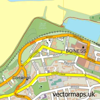
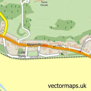
This Muirhouses street map is a detailed vector street map covering a 750m x 750m area. Select a larger area to create and download your own vector street map of Muirhouses.
The 750-metre map sample for Muirhouses covers 121 mapped buildings and approximately 9.1 km of road detail, of which 10 named roads are named. The immediate area includes 2 GP surgeries within 2 miles and 1 MOT station, with 5 within 2 miles. The wider area around Muirhouses features 1 tourism point of interest. To create a larger or custom map of Muirhouses, the map builder lets you define your own coverage area and download editable SVG, PDF and PNG files.
Create a larger editable map of Muirhouses
Choose any area you need and generate a high-quality vector map instantly. Perfect for print, planning, design, business and personal use.

This Muirhouses street map in Stirling and Falkirk is available as downloadable SVG, PDF and PNG map files, or as a printed map for planning, business, display, education, local information and design work. You can also create a larger custom map area using the map selector.
What this Muirhouses map sample shows
Muirhouses lies within Falkirk parish, part of Bo'ness And Blackness ward in the Falkirk local authority area. The postcode geography for this area includes the EH postcode area, the EH51 postcode district and the EH51 9 postcode sector. Residents fall under the Forth Valley for NHS services.
Local features near Muirhouses
Within 2 milesAmenities and services in and around Muirhouses.
Administrative and postcode information for Muirhouses
The local authority covering Muirhouses is Falkirk, within the county of Stirling And Falkirk. The settlement lies within Bo'ness And Blackness ward and Falkirk civil parish. The EH51 postcode district and EH51 9 postcode sector serve the immediate area. NHS provision in the area is delivered through Forth Valley.
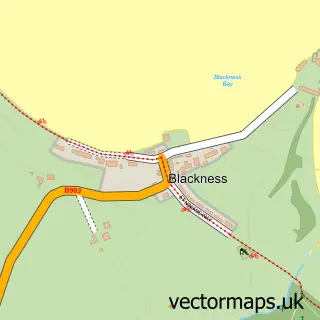
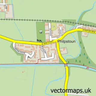
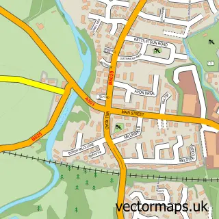
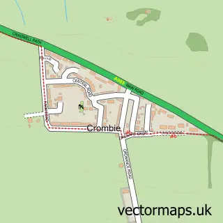
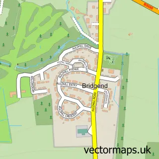
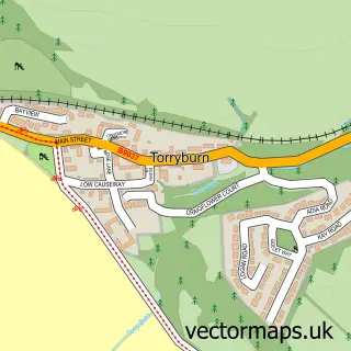
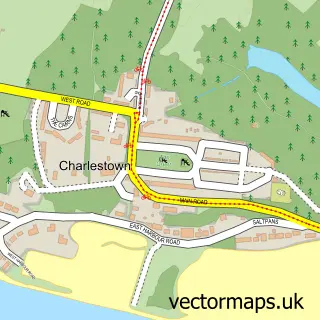
Nearby street map samples around Muirhouses

More street maps in Stirling and Falkirk
750 metre map area coverage
Boundary, postcode and point of interest information for the 750m x 750m rectangle centred on this sample map.
Boundaries containing map centre
Constituency: Bathgate and Linlithgow Co Const
District: Falkirk
Icb: Forth Valley
Postcode District: EH51
Postcode Sector: EH51 9
Ward: Bo'ness and Blackness Ward
Nearby boundaries intersecting sample
No additional intersecting boundaries found.
Postcode coverage
POI category counts
Building Contractor: 1
Business: 1
Key And Locksmith: 1
Landmark And Historical Building: 1
Marketing Consultant: 1
Sports Club And League: 1
Taxi Service: 1
Womens Clothing Store: 1
Sample points of interest
- Pro Build Scotland
- Pen Consulting
- Elite Locksmiths
- Muirhouses, Falkirk
- Doublescotch Consulting
- Boness Utd Community FC
- Fourways Car & Taxi Service
- Be_Your_Own_Kind_Of_Beautiful
Create a larger editable map of Muirhouses
This sample shows only a 750 metre area. To create a larger map of Muirhouses, use our map builder to choose your own coverage area, add titles and download editable SVG, PDF and PNG files.
Create a custom map of Muirhouses