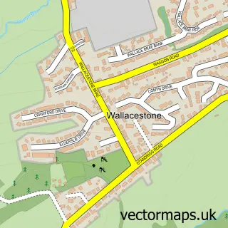
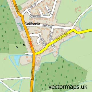
This Maddiston street map is a detailed vector street map covering a 750m x 750m area. Select a larger area to create and download your own vector street map of Maddiston.
The 750-metre map sample for Maddiston covers 401 mapped buildings and approximately 15.3 km of road detail, of which 27 named roads are named. The immediate area includes 3 GP surgeries within 2 miles and 3 MOT stations within 2 miles. The wider area around Maddiston features 1 tourism point of interest. To create a larger or custom map of Maddiston, the map builder lets you define your own coverage area and download editable SVG, PDF and PNG files.
Create a larger editable map of Maddiston
Choose any area you need and generate a high-quality vector map instantly. Perfect for print, planning, design, business and personal use.

This Maddiston street map in Stirling and Falkirk is available as downloadable SVG, PDF and PNG map files, or as a printed map for planning, business, display, education, local information and design work. You can also create a larger custom map area using the map selector.
What this Maddiston map sample shows
Maddiston lies within Falkirk parish, part of Upper Braes ward in the Falkirk local authority area. The postcode geography for this area includes the FK postcode area, the FK2 postcode district and the FK2 0 postcode sector. Residents fall under the Forth Valley for NHS services.
Local features near Maddiston
Within 2 milesAmenities and services in and around Maddiston.
Administrative and postcode information for Maddiston
The local authority covering Maddiston is Falkirk, within the county of Stirling And Falkirk. The settlement lies within Upper Braes ward and Falkirk civil parish. The FK2 postcode district and FK2 0 postcode sector serve the immediate area. NHS provision in the area is delivered through Forth Valley.
Nearby street map samples around Maddiston
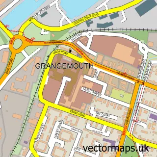

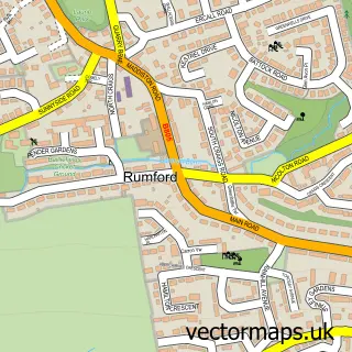
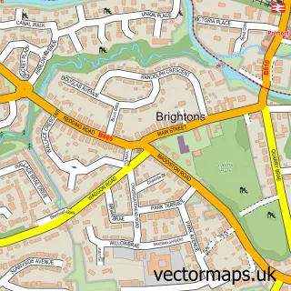
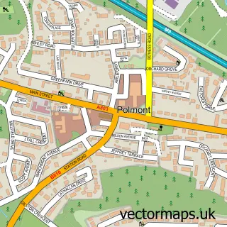
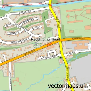
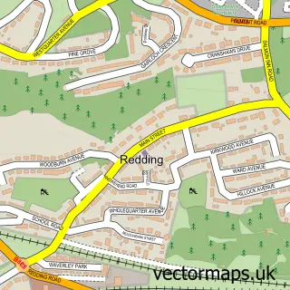
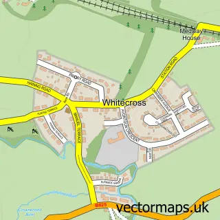
More street maps in Stirling and Falkirk
750 metre map area coverage
Boundary, postcode and point of interest information for the 750m x 750m rectangle centred on this sample map.
Boundaries containing map centre
Constituency: Falkirk Co Const
District: Falkirk
Icb: Forth Valley
Postcode District: FK2
Postcode Sector: FK2 0
Ward: Upper Braes Ward
Nearby boundaries intersecting sample
No additional intersecting boundaries found.
Postcode coverage
POI category counts
Convenience Store: 4
Bar: 2
Education: 2
First Aid Class: 2
Gardener: 2
Assisted Living Facility: 1
Beauty Salon: 1
Chinese Restaurant: 1
Church Cathedral: 1
Community Center: 1
Sample points of interest
- Haining Nursing Home
- Salvation Army
- The Venue
- Beauty spot Salon and Training Academy
- Coswok
- Maddiston Community Church
- Maddiston Community Centre
- Maddiston Mini Market (top shop)
- Maddiston Post Office
- Post Office
- Premier
- Central Scotland Ballet School
Create a larger editable map of Maddiston
This sample shows only a 750 metre area. To create a larger map of Maddiston, use our map builder to choose your own coverage area, add titles and download editable SVG, PDF and PNG files.
Create a custom map of Maddiston