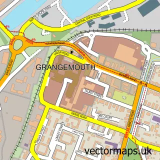
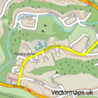
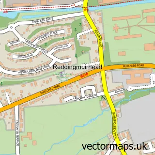
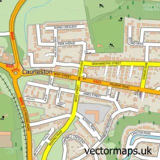
This Redding street map is a detailed vector street map covering a 750m x 750m area. Select a larger area to create and download your own vector street map of Redding.
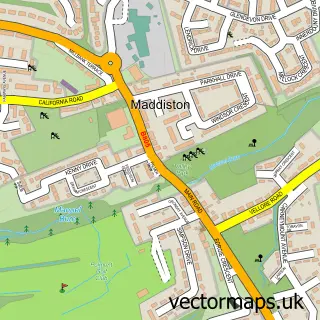
The 750-metre map sample for Redding covers 343 mapped buildings and approximately 16.5 km of road detail, of which 25 named roads are named. The immediate area includes 3 GP surgeries within 2 miles, 1 pub and 21 MOT stations within 2 miles. The wider area around Redding features 1 tourism point of interest, 1 food and drink venue and 1 hotel. To create a larger or custom map of Redding, the map builder lets you define your own coverage area and download editable SVG, PDF and PNG files.
Create a larger editable map of Redding
Choose any area you need and generate a high-quality vector map instantly. Perfect for print, planning, design, business and personal use.

This Redding street map in Stirling and Falkirk is available as downloadable SVG, PDF and PNG map files, or as a printed map for planning, business, display, education, local information and design work. You can also create a larger custom map area using the map selector.
What this Redding map sample shows
Redding lies within Falkirk parish, part of Lower Braes ward in the Falkirk local authority area. The postcode geography for this area includes the FK postcode area, the FK2 postcode district and the FK2 0 postcode sector. Residents fall under the Forth Valley for NHS services.
Local features near Redding
Within 2 milesAmenities and services in and around Redding.
Administrative and postcode information for Redding
The local authority covering Redding is Falkirk, within the county of Stirling And Falkirk. The settlement lies within Lower Braes ward and Falkirk civil parish. The FK2 postcode district and FK2 0 postcode sector serve the immediate area. NHS provision in the area is delivered through Forth Valley.
Nearby street map samples around Redding

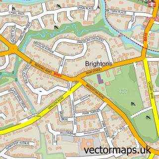
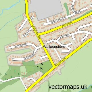
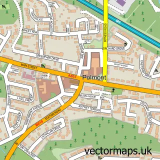
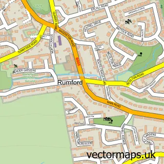
More street maps in Stirling and Falkirk
750 metre map area coverage
Boundary, postcode and point of interest information for the 750m x 750m rectangle centred on this sample map.
Boundaries containing map centre
Constituency: Falkirk Co Const
District: Falkirk
Icb: Forth Valley
Postcode District: FK2
Postcode Sector: FK2 9
Ward: Lower Braes Ward
Nearby boundaries intersecting sample
Postcode Sector: FK2 0
Postcode coverage
POI category counts
Beauty Salon: 2
Convenience Store: 2
Electrician: 2
Bed And Breakfast: 1
Catholic Church: 1
Contractor: 1
Fast Food Restaurant: 1
Fish And Chips Restaurant: 1
Food Delivery Service: 1
Food Truck: 1
Sample points of interest
- Breens Hairdressing
- Renalashes
- Ashbank B & B
- Redding and Westquarter
- Central Gas Services
- USAVE
- Usave Convenience Store
- J M Stuart Electrical
- J M Stuart Electrical Ltd.
- Tasty of Oriental
- Redding Fish and Chips
- Evri ParcelShop
Create a larger editable map of Redding
This sample shows only a 750 metre area. To create a larger map of Redding, use our map builder to choose your own coverage area, add titles and download editable SVG, PDF and PNG files.
Create a custom map of Redding