Vector Maps logo
Home Why it works Popular maps Districts Samples Customizer Create Your Map
VectorMaps.uk
Home Popular maps Districts Samples Customizer Create Your Map Privacy Disclaimer
Home / UK Maps / Stirling and Falkirk / California Map

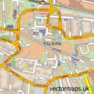
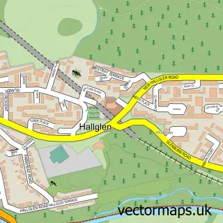
This California street map is a detailed vector street map covering a 750m x 750m area. Select a larger area to create and download your own vector street map of California.

California is a village in Stirling And Falkirk, in the Central Scotland of Scotland. Historically, the area formed part of Stirlingshire. The settlement falls within the Linlithgow And East Falkirk parliamentary constituency. It is served by the FK1 post

The 750-metre map sample for California covers 212 mapped buildings and approximately 7.5 km of road detail, of which 11 named roads are named. The immediate area includes 3 GP surgeries within 2 miles and 3 MOT stations within 2 miles. To create a larger or custom map of California, the map builder lets you define your own coverage area and download editable SVG, PDF and PNG files.

212Buildings
7.54 kmRoads
11Named roads
0Residents within 2 miles
Create your own

Create a larger editable map of California

Choose any area you need and generate a high-quality vector map instantly. Perfect for print, planning, design, business and personal use.

Choose any location
Editable SVG files
Any size up to A0
PDF, PNG & more
Instant download
High quality guaranteed
Create My Custom Map
Secure, private & no credit card required
California Vector Street Map
750m Sample
California vector street map sample showing roads, buildings and local features in a 750 metre preview area
Buy California Map Print from £12.95 Buy California Digital Map from £6

This California street map in Stirling and Falkirk is available as downloadable SVG, PDF and PNG map files, or as a printed map for planning, business, display, education, local information and design work. You can also create a larger custom map area using the map selector.

What this California map sample shows

California lies within Falkirk parish, part of Upper Braes ward in the Falkirk local authority area. The postcode geography for this area includes the FK postcode area, the FK1 postcode district and the FK1 2 postcode sector. Residents fall under the Forth Valley for NHS services.

Local features near California

Within 2 miles

Amenities and services in and around California.

3 GP surgeries within 2 miles
3 MOT stations within 2 miles

Counts are approximate and based on publicly available data.

Administrative and postcode information for California

The local authority covering California is Falkirk, within the county of Stirling And Falkirk. The settlement lies within Upper Braes ward and Falkirk civil parish. The FK1 postcode district and FK1 2 postcode sector serve the immediate area. NHS provision in the area is delivered through Forth Valley.

Parish FALKIRK
Ward Upper Braes
District / local authority Falkirk
County Stirling and Falkirk
Historic county Stirlingshire
Postcode district FK1
Postcode sector FK1 2
Parliamentary constituency Linlithgow and East Falkirk
Region Central Scotland
Country Scotland

Nearby street map samples around California

Street map sample of Falkirk, Stirling and Falkirk Falkirk Town - Stirling and Falkirk - 2.7 miles Street map sample of Stirling, Stirling and Falkirk Stirling City - Stirling and Falkirk - 12.7 miles Street map sample of Shieldhill, Stirling and Falkirk Shieldhill Village - Stirling and Falkirk - 0.8 miles Street map sample of Wallacestone, Stirling and Falkirk Wallacestone Village - Stirling and Falkirk - 1.0 miles Street map sample of Reddingmuirhead, Stirling and Falkirk Reddingmuirhead Village - Stirling and Falkirk - 1.1 miles Street map sample of Brightons, Stirling and Falkirk Brightons Village - Stirling and Falkirk - 1.6 miles Street map sample of Rumford, Stirling and Falkirk Rumford Village - Stirling and Falkirk - 1.7 miles Street map sample of Redding, Stirling and Falkirk Redding Village - Stirling and Falkirk - 1.8 miles Street map sample of Westquarter, Stirling and Falkirk Westquarter Village - Stirling and Falkirk - 1.8 miles Street map sample of Hallglen, Stirling and Falkirk Hallglen Village - Stirling and Falkirk - 1.9 miles

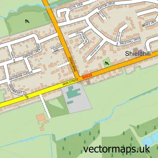
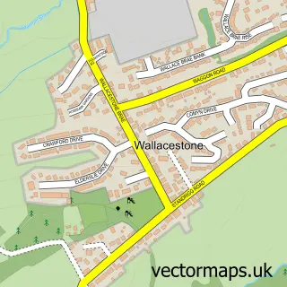
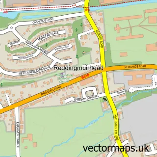
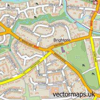
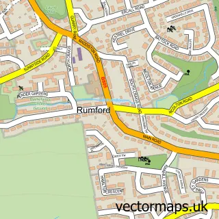
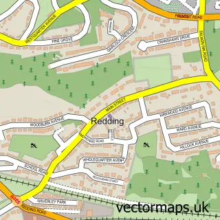
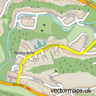
More street maps in Stirling and Falkirk

Street map sample of Shieldhill, Stirling and Falkirk Shieldhill Village - 0.8 miles Street map sample of Wallacestone, Stirling and Falkirk Wallacestone Village - 1.0 miles Street map sample of Reddingmuirhead, Stirling and Falkirk Reddingmuirhead Village - 1.1 miles Street map sample of Brightons, Stirling and Falkirk Brightons Village - 1.6 miles Street map sample of Rumford, Stirling and Falkirk Rumford Village - 1.7 miles

750 metre map area coverage

Boundary, postcode and point of interest information for the 750m x 750m rectangle centred on this sample map.

Boundaries containing map centre

Constituency: Falkirk Co Const

District: Falkirk

Icb: Forth Valley

Postcode District: FK1

Postcode Sector: FK1 2

Ward: Upper Braes Ward

Nearby boundaries intersecting sample

No additional intersecting boundaries found.

Postcode coverage

FK1 FK1 2

POI category counts

Convenience Store: 2

Engineering Services: 2

Accommodation: 1

Bicycle Shop: 1

Building Supply Store: 1

Campus Building: 1

Community Center: 1

Currency Exchange: 1

Elementary School: 1

Financial Service: 1

Sample points of interest

  • California the Sunshine Village Accommodation
  • The Velosseum Bicycle Shop
  • Plumbspares Plumbing & Heating Services Building Supply Store
  • California Nursary Campus Building
  • California Community Hall Community Center
  • California Mini Market Convenience Store
  • Premier California Mini Market Convenience Store
  • Post Office Travel Money Currency Exchange
  • California Primary School Elementary School
  • Plumbspares Wholesale Engineering Services
  • Plumbspares Wholesaler Engineering Services
  • Western Union Financial Service

Create a larger editable map of California

This sample shows only a 750 metre area. To create a larger map of California, use our map builder to choose your own coverage area, add titles and download editable SVG, PDF and PNG files.

Create a custom map of California

Phone 01751 473136 | Copyright Vectormaps.uk 2026

Samples Customizer Privacy Disclaimer
California Vector Street Map
California enlarged street map sample showing a 750 metre preview area