Vector Maps logo
Home Why it works Popular maps Districts Samples Customizer Create Your Map
VectorMaps.uk
Home Popular maps Districts Samples Customizer Create Your Map Privacy Disclaimer
Home / UK Maps / Stirling and Falkirk / Stirling Map

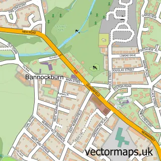
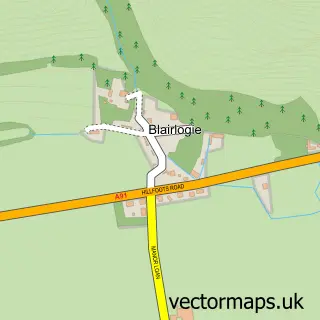
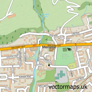
This Stirling street map is a detailed vector street map covering a 750m x 750m area. Select a larger area to create and download your own vector street map of Stirling.

Stirling is a city in Stirling And Falkirk, in the Mid Scotland And Fife of Scotland. Historically, the area formed part of Stirlingshire. The settlement falls within the Stirling parliamentary constituency. It is served by the FK9 postcode district, with

The 750-metre map sample for Stirling covers 137 mapped buildings and approximately 23.8 km of road detail, of which 45 named roads are named. The immediate area includes 1 railway station, 1 GP surgery, with 7 within 2 miles, 19 pubs and 1 MOT station, with 18 within 2 miles. The wider area around Stirling features 12 tourism points of interest, 82 food and drink venues and 17 hotels. To create a larger or custom map of Stirling, the map builder lets you define your own coverage area and download editable SVG, PDF and PNG files.

137Buildings
23.83 kmRoads
45Named roads
0Residents within 2 miles
Create your own

Create a larger editable map of Stirling

Choose any area you need and generate a high-quality vector map instantly. Perfect for print, planning, design, business and personal use.

Choose any location
Editable SVG files
Any size up to A0
PDF, PNG & more
Instant download
High quality guaranteed
Create My Custom Map
Secure, private & no credit card required
Stirling Vector Street Map
750m Sample
Stirling vector street map sample showing roads, buildings and local features in a 750 metre preview area
Buy Stirling Map Print from £12.95 Buy Stirling Digital Map from £6

This Stirling street map in Stirling and Falkirk is available as downloadable SVG, PDF and PNG map files, or as a printed map for planning, business, display, education, local information and design work. You can also create a larger custom map area using the map selector.

What this Stirling map sample shows

Stirling lies within Stirling parish, part of Stirling North ward in the Stirling local authority area. The postcode geography for this area includes the FK postcode area, the FK9 postcode district and the FK9 5 postcode sector. Residents fall under the Forth Valley for NHS services.

Local features near Stirling

Within 2 miles

Amenities and services in and around Stirling.

1 Railway stations
1 Campsites within 2 miles
1 GP surgeries 7 within 2 miles
1 MOT stations 18 within 2 miles
12 Tourism & leisure
82 Food & drink
19 Pubs
17 Hotels
14 Healthcare POIs
8 Vehicle services

Counts are approximate and based on publicly available data.

Administrative and postcode information for Stirling

The local authority covering Stirling is Stirling, within the county of Stirling And Falkirk. The settlement lies within Stirling North ward and Stirling civil parish. The FK9 postcode district and FK9 5 postcode sector serve the immediate area. NHS provision in the area is delivered through Forth Valley.

Parish STIRLING
Ward Stirling North
District / local authority Stirling
County Stirling and Falkirk
Historic county Stirlingshire
Postcode district FK9
Postcode sector FK9 5
Parliamentary constituency Stirling
Region Mid Scotland and Fife
Country Scotland

Nearby street map samples around Stirling

Street map sample of Bannockburn, Stirling and Falkirk Bannockburn Town - Stirling and Falkirk - 2.1 miles Street map sample of Cambuskenneth, Stirling and Falkirk Cambuskenneth Village - Stirling and Falkirk - 0.8 miles Street map sample of Cambusbarron, Stirling and Falkirk Cambusbarron Village - Stirling and Falkirk - 1.4 miles Street map sample of Fallin, Stirling and Falkirk Fallin Village - Stirling and Falkirk - 2.5 miles Street map sample of Blairlogie, Stirling and Falkirk Blairlogie Village - Stirling and Falkirk - 2.9 miles Street map sample of Cowie, Stirling and Falkirk Cowie Village - Stirling and Falkirk - 3.6 miles Street map sample of Cambus, Clackmannan Cambus Village - Clackmannan - 3.6 miles Street map sample of Throsk, Stirling and Falkirk Throsk Village - Stirling and Falkirk - 3.7 miles Street map sample of Menstrie, Clackmannan Menstrie Village - Clackmannan - 3.9 miles Street map sample of Plean, Stirling and Falkirk Plean Village - Stirling and Falkirk - 4.3 miles

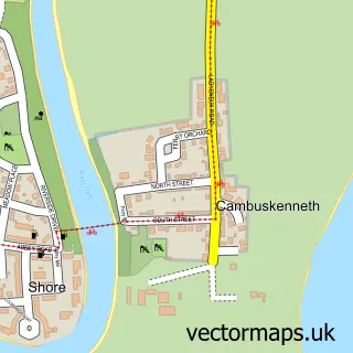
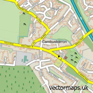
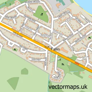
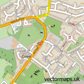
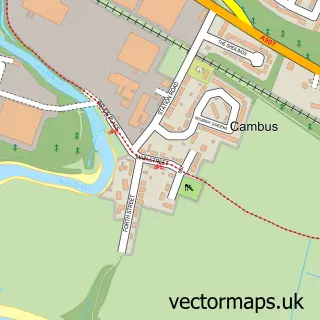
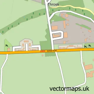
More street maps in Stirling and Falkirk

Street map sample of Cambuskenneth, Stirling and Falkirk Cambuskenneth Village - 0.8 miles Street map sample of Cambusbarron, Stirling and Falkirk Cambusbarron Village - 1.4 miles Street map sample of Bannockburn, Stirling and Falkirk Bannockburn Town - 2.1 miles Street map sample of Fallin, Stirling and Falkirk Fallin Village - 2.5 miles Street map sample of Bridge of Allan, Stirling and Falkirk Bridge of Allan Town - 2.6 miles

750 metre map area coverage

Boundary, postcode and point of interest information for the 750m x 750m rectangle centred on this sample map.

Boundaries containing map centre

Constituency: Stirling and Strathallan Co Const

District: Stirling

Icb: Forth Valley

Postcode District: FK8

Postcode Sector: FK8 2

Ward: Stirling North Ward

Nearby boundaries intersecting sample

Postcode District: FK7, FK9

Postcode Sector: FK7 7, FK8 1, FK9 5

Ward: Stirling East Ward, Stirling West Ward

Postcode coverage

FK8 FK8 2 FK7 FK9 FK7 7 FK8 1 FK9 5

POI category counts

Hair Salon: 29

Beauty Salon: 27

Clothing Store: 27

Coffee Shop: 25

Cafe: 23

Jewelry Store: 22

Bar: 19

Pub: 19

Hotel: 17

Real Estate Agent: 17

Sample points of interest

  • Carters Yard - Student Accommodation Accommodation
  • City Room Rentals Accommodation
  • Dickson Middleton Accountant
  • Bankend Private Livery Active Life
  • Carr's Billington Stirling Agricultural Service
  • Forth Valley Ice Speed Club Amateur Sports Team
  • Flip N Shake American Restaurant
  • Monterey Jack's American Restaurant
  • TJ's Restaurant & Bar American Restaurant
  • Abbey Antiques Ltd. Antique Store
  • British Red Cross Antique Store
  • DebRA Charity Shop Antique Store

Create a larger editable map of Stirling

This sample shows only a 750 metre area. To create a larger map of Stirling, use our map builder to choose your own coverage area, add titles and download editable SVG, PDF and PNG files.

Create a custom map of Stirling

Phone 01751 473136 | Copyright Vectormaps.uk 2026

Samples Customizer Privacy Disclaimer
Stirling Vector Street Map
Stirling enlarged street map sample showing a 750 metre preview area