Vector Maps logo
Home Why it works Popular maps Districts Samples Customizer Create Your Map
VectorMaps.uk
Home Popular maps Districts Samples Customizer Create Your Map Privacy Disclaimer
Home / UK Maps / Stirling and Falkirk / Bridge of Allan Map

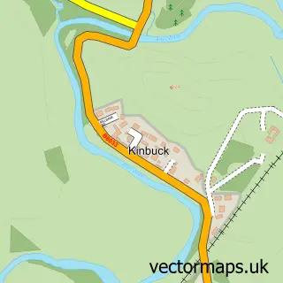
This Bridge of Allan street map is a detailed vector street map covering a 750m x 750m area. Select a larger area to create and download your own vector street map of Bridge of Allan.

Bridge of Allan is a town in Stirling And Falkirk, in the Mid Scotland And Fife of Scotland. Historically, the area formed part of Stirlingshire. The settlement falls within the Stirling parliamentary constituency. It is served by the FK9 postcode distric

The 750-metre map sample for Bridge of Allan covers 351 mapped buildings and approximately 21.1 km of road detail, of which 34 named roads are named. The immediate area includes 1 GP surgery, with 4 within 2 miles, 3 pubs and 1 MOT station within 2 miles. The wider area around Bridge of Allan features 3 tourism points of interest, 10 food and drink venues and 4 hotels. To create a larger or custom map of Bridge of Allan, the map builder lets you define your own coverage area and download editable SVG, PDF and PNG files.

351Buildings
21.07 kmRoads
34Named roads
0Residents within 2 miles
Create your own

Create a larger editable map of Bridge of Allan

Choose any area you need and generate a high-quality vector map instantly. Perfect for print, planning, design, business and personal use.

Choose any location
Editable SVG files
Any size up to A0
PDF, PNG & more
Instant download
High quality guaranteed
Create My Custom Map
Secure, private & no credit card required
Bridge of Allan Vector Street Map
750m Sample
Bridge of Allan vector street map sample showing roads, buildings and local features in a 750 metre preview area
Buy Bridge of Allan Map Print from £12.95 Buy Bridge of Allan Digital Map from £6

This Bridge of Allan street map in Stirling and Falkirk is available as downloadable SVG, PDF and PNG map files, or as a printed map for planning, business, display, education, local information and design work. You can also create a larger custom map area using the map selector.

What this Bridge of Allan map sample shows

Bridge of Allan lies within Stirling parish, part of Dunblane And Bridge Of Allan ward in the Stirling local authority area. The postcode geography for this area includes the FK postcode area, the FK9 postcode district and the FK9 4 postcode sector. Residents fall under the Forth Valley for NHS services.

Local features near Bridge of Allan

Within 2 miles

Amenities and services in and around Bridge of Allan.

1 Campsites within 2 miles
1 GP surgeries 4 within 2 miles
1 MOT stations within 2 miles
3 Tourism & leisure
10 Food & drink
3 Pubs
4 Hotels
6 Healthcare POIs
1 Vehicle services

Counts are approximate and based on publicly available data.

Administrative and postcode information for Bridge of Allan

The local authority covering Bridge of Allan is Stirling, within the county of Stirling And Falkirk. The settlement lies within Dunblane And Bridge Of Allan ward and Stirling civil parish. The FK9 postcode district and FK9 4 postcode sector serve the immediate area. NHS provision in the area is delivered through Forth Valley.

Parish STIRLING
Ward Dunblane and Bridge of Allan
District / local authority Stirling
County Stirling and Falkirk
Historic county Stirlingshire
Postcode district FK9
Postcode sector FK9 4
Parliamentary constituency Stirling
Region Mid Scotland and Fife
Country Scotland

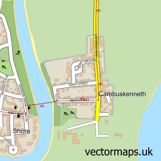
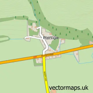
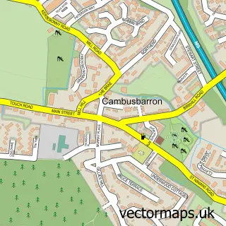
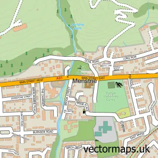
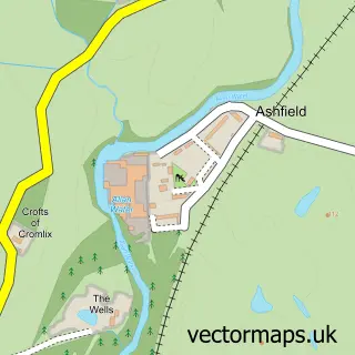
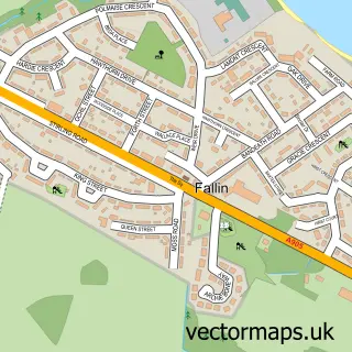
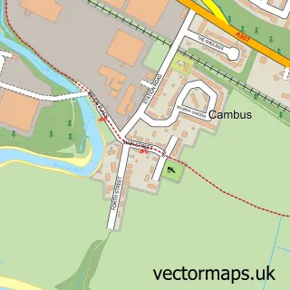
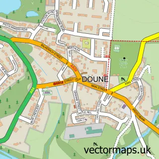
Nearby street map samples around Bridge of Allan

Street map sample of Stirling, Stirling and Falkirk Stirling City - Stirling and Falkirk - 2.6 miles Street map sample of Cambuskenneth, Stirling and Falkirk Cambuskenneth Village - Stirling and Falkirk - 2.3 miles Street map sample of Blairlogie, Stirling and Falkirk Blairlogie Village - Stirling and Falkirk - 2.4 miles Street map sample of Cambusbarron, Stirling and Falkirk Cambusbarron Village - Stirling and Falkirk - 3.3 miles Street map sample of Menstrie, Clackmannan Menstrie Village - Clackmannan - 3.6 miles Street map sample of Ashfield, Stirling and Falkirk Ashfield Village - Stirling and Falkirk - 3.9 miles Street map sample of Fallin, Stirling and Falkirk Fallin Village - Stirling and Falkirk - 4.5 miles Street map sample of Cambus, Clackmannan Cambus Village - Clackmannan - 4.6 miles Street map sample of Doune, Stirling and Falkirk Doune Village - Stirling and Falkirk - 4.7 miles Street map sample of Kinbuck, Stirling and Falkirk Kinbuck Village - Stirling and Falkirk - 4.7 miles

More street maps in Stirling and Falkirk

Street map sample of Cambuskenneth, Stirling and Falkirk Cambuskenneth Village - 2.3 miles Street map sample of Blairlogie, Stirling and Falkirk Blairlogie Village - 2.4 miles Street map sample of Dunblane, Stirling and Falkirk Dunblane Town - 2.4 miles Street map sample of Stirling, Stirling and Falkirk Stirling City - 2.6 miles Street map sample of Cambusbarron, Stirling and Falkirk Cambusbarron Village - 3.3 miles

750 metre map area coverage

Boundary, postcode and point of interest information for the 750m x 750m rectangle centred on this sample map.

Boundaries containing map centre

Constituency: Stirling and Strathallan Co Const

District: Stirling

Icb: Forth Valley

Postcode District: FK9

Postcode Sector: FK9 4

Ward: Dunblane and Bridge of Allan Ward

Nearby boundaries intersecting sample

No additional intersecting boundaries found.

Postcode coverage

FK9 FK9 4

POI category counts

Hair Salon: 7

Bakery: 5

Beauty And Spa: 5

Beauty Salon: 4

Cafe: 4

Hotel: 4

Real Estate Agent: 4

Brewery: 3

Charity Organization: 3

Funeral Services And Cemeteries: 3

Sample points of interest

  • Physiofocus Alternative Medicine
  • Thinking Room Alternative Medicine
  • Coffee Supply Co Appliance Store
  • Bobby Halliday Architects Architectural Designer
  • Fotheringham Gallery Art Gallery
  • Fotheringham Gallery Art Gallery
  • The Cooperative Food Stirling - Bridge Of Allan (swap), Bridge Of Allen Atms
  • Simply Hearing Consultants Audiologist
  • Kwik Fit Automotive Repair
  • Bayne's the Family Bakers Bakery
  • HAVN Bakery Bakery
  • Havn Bakery

Create a larger editable map of Bridge of Allan

This sample shows only a 750 metre area. To create a larger map of Bridge of Allan, use our map builder to choose your own coverage area, add titles and download editable SVG, PDF and PNG files.

Create a custom map of Bridge of Allan

Phone 01751 473136 | Copyright Vectormaps.uk 2026

Samples Customizer Privacy Disclaimer
Bridge of Allan Vector Street Map
Bridge of Allan enlarged street map sample showing a 750 metre preview area