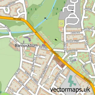
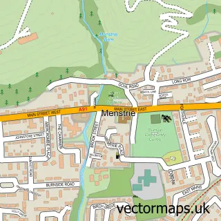
This Fallin street map is a detailed vector street map covering a 750m x 750m area. Select a larger area to create and download your own vector street map of Fallin.
The 750-metre map sample for Fallin covers 395 mapped buildings and approximately 15.4 km of road detail, of which 29 named roads are named. The immediate area includes 1 GP surgery, with 2 within 2 miles and 15 MOT stations within 2 miles. The wider area around Fallin features 3 tourism points of interest. To create a larger or custom map of Fallin, the map builder lets you define your own coverage area and download editable SVG, PDF and PNG files.
Create a larger editable map of Fallin
Choose any area you need and generate a high-quality vector map instantly. Perfect for print, planning, design, business and personal use.

This Fallin street map in Stirling and Falkirk is available as downloadable SVG, PDF and PNG map files, or as a printed map for planning, business, display, education, local information and design work. You can also create a larger custom map area using the map selector.
What this Fallin map sample shows
Fallin lies within Stirling parish, part of Bannockburn ward in the Stirling local authority area. The postcode geography for this area includes the FK postcode area, the FK7 postcode district and the FK7 7 postcode sector. Residents fall under the Forth Valley for NHS services.
Local features near Fallin
Within 2 milesAmenities and services in and around Fallin.
Administrative and postcode information for Fallin
Fallin lies within Stirling parish, part of Bannockburn ward in the Stirling local authority area. The postcode geography for this area includes the FK postcode area, the FK7 postcode district and the FK7 7 postcode sector. Residents fall under the Forth Valley for NHS services.
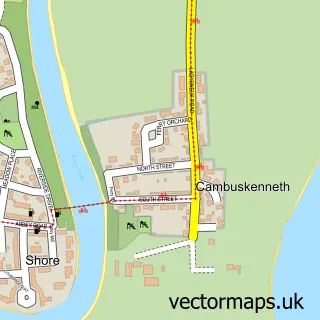
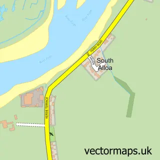
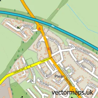
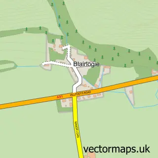
Nearby street map samples around Fallin

More street maps in Stirling and Falkirk
750 metre map area coverage
Boundary, postcode and point of interest information for the 750m x 750m rectangle centred on this sample map.
Boundaries containing map centre
Constituency: Stirling and Strathallan Co Const
District: Stirling
Icb: Forth Valley
Postcode District: FK7
Postcode Sector: FK7 7
Ward: Bannockburn Ward
Nearby boundaries intersecting sample
Postcode District: FK10
Postcode Sector: FK10 2
Postcode coverage
POI category counts
Convenience Store: 5
Park: 3
Automotive Repair: 2
Pharmacy: 2
Arts And Crafts: 1
Atms: 1
Auto Electrical Repair: 1
Automotive Dealer: 1
Beauty Salon: 1
Building Supply Store: 1
Sample points of interest
- Worldwide Medal Framing
- Day Today - Fallin, Fallin
- Stirling Electrical Services
- Kia UK
- Fallin Garage Services
- Maz Auto Centre
- Elements of Beauty
- R B Joinery & Building Services
- Christine's Cottage Kitchen
- Tasty house Fallin
- Fallin Church
- RB Joinery and Building Services
Create a larger editable map of Fallin
This sample shows only a 750 metre area. To create a larger map of Fallin, use our map builder to choose your own coverage area, add titles and download editable SVG, PDF and PNG files.
Create a custom map of Fallin