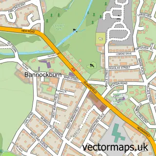
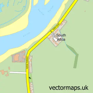
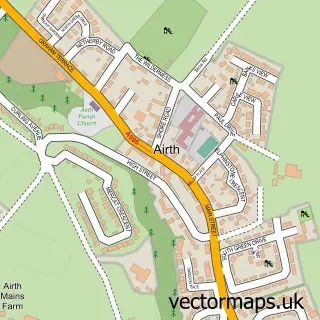
This Cowie street map is a detailed vector street map covering a 750m x 750m area. Select a larger area to create and download your own vector street map of Cowie.
The 750-metre map sample for Cowie covers 383 mapped buildings and approximately 18.5 km of road detail, of which 27 named roads are named. The immediate area includes 2 GP surgeries within 2 miles, 1 pub and 4 MOT stations within 2 miles. The wider area around Cowie features 2 food and drink venues. To create a larger or custom map of Cowie, the map builder lets you define your own coverage area and download editable SVG, PDF and PNG files.
Create a larger editable map of Cowie
Choose any area you need and generate a high-quality vector map instantly. Perfect for print, planning, design, business and personal use.

This Cowie street map in Stirling and Falkirk is available as downloadable SVG, PDF and PNG map files, or as a printed map for planning, business, display, education, local information and design work. You can also create a larger custom map area using the map selector.
What this Cowie map sample shows
Cowie lies within Stirling parish, part of Bannockburn ward in the Stirling local authority area. The postcode geography for this area includes the FK postcode area, the FK7 postcode district and the FK7 7 postcode sector. Residents fall under the Forth Valley for NHS services.
Local features near Cowie
Within 2 milesAmenities and services in and around Cowie.
Administrative and postcode information for Cowie
The local authority covering Cowie is Stirling, within the county of Stirling And Falkirk. The settlement lies within Bannockburn ward and Stirling civil parish. The FK7 postcode district and FK7 7 postcode sector serve the immediate area. NHS provision in the area is delivered through Forth Valley.
Nearby street map samples around Cowie

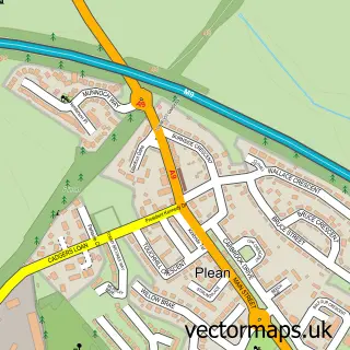
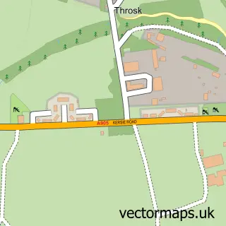
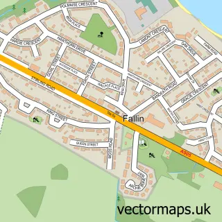
More street maps in Stirling and Falkirk
750 metre map area coverage
Boundary, postcode and point of interest information for the 750m x 750m rectangle centred on this sample map.
Boundaries containing map centre
Constituency: Stirling and Strathallan Co Const
District: Stirling
Icb: Forth Valley
Postcode District: FK7
Postcode Sector: FK7 7
Ward: Bannockburn Ward
Nearby boundaries intersecting sample
No additional intersecting boundaries found.
Postcode coverage
POI category counts
Elementary School: 4
Beauty Salon: 3
Convenience Store: 3
Package Locker: 3
Atms: 2
Business Management Services: 2
Driving School: 2
Appliance Manufacturer: 1
Arts And Entertainment: 1
Bathtub And Sink Repairs: 1
Sample points of interest
- Patersons of Greenoakhill
- Cadoodles Murals
- ATM (Post Office)
- Keystore (SWAP)
- JTR fitting
- Get Glammed by Stacey
- Heather's Hair & Beauty
- Sharons Hair Design
- Say Landscapes
- Cowie Post Office
- Post Office-Cowie
- Lux Cleaning Solutions
Create a larger editable map of Cowie
This sample shows only a 750 metre area. To create a larger map of Cowie, use our map builder to choose your own coverage area, add titles and download editable SVG, PDF and PNG files.
Create a custom map of Cowie