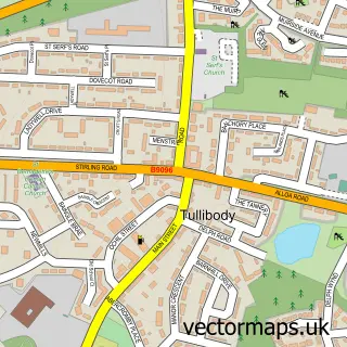
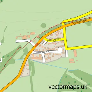
This Menstrie street map is a detailed vector street map covering a 750m x 750m area. Select a larger area to create and download your own vector street map of Menstrie.
The 750-metre map sample for Menstrie covers 324 mapped buildings and approximately 16.5 km of road detail, of which 29 named roads are named. The immediate area includes 1 GP surgery within 2 miles, 1 pub and 1 MOT station, with 2 within 2 miles. The wider area around Menstrie features 1 tourism point of interest, 6 food and drink venues and 1 campsite within 2 miles. To create a larger or custom map of Menstrie, the map builder lets you define your own coverage area and download editable SVG, PDF and PNG files.
Create a larger editable map of Menstrie
Choose any area you need and generate a high-quality vector map instantly. Perfect for print, planning, design, business and personal use.

This Menstrie street map in Clackmannan is available as downloadable SVG, PDF and PNG map files, or as a printed map for planning, business, display, education, local information and design work. You can also create a larger custom map area using the map selector.
What this Menstrie map sample shows
Menstrie lies within Clackmannanshire parish, part of Clackmannanshire West ward in the Clackmannanshire local authority area. The postcode geography for this area includes the FK postcode area, the FK11 postcode district and the FK11 7 postcode sector. Residents fall under the Forth Valley for NHS services.
Local features near Menstrie
Within 2 milesAmenities and services in and around Menstrie.
Administrative and postcode information for Menstrie
The local authority covering Menstrie is Clackmannanshire, within the county of Clackmannan. The settlement lies within Clackmannanshire West ward and Clackmannanshire civil parish. The FK11 postcode district and FK11 7 postcode sector serve the immediate area. NHS provision in the area is delivered through Forth Valley.
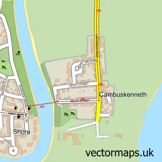
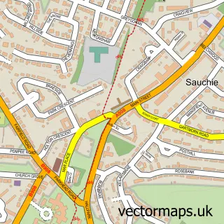
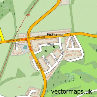
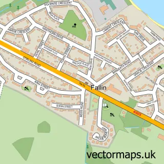
Nearby street map samples around Menstrie

More street maps in Clackmannan
750 metre map area coverage
Boundary, postcode and point of interest information for the 750m x 750m rectangle centred on this sample map.
Boundaries containing map centre
Constituency: Alloa and Grangemouth Co Const
District: Clackmannanshire
Icb: Forth Valley
Postcode District: FK11
Postcode Sector: FK11 7
Ward: Clackmannanshire West Ward
Nearby boundaries intersecting sample
Constituency: Stirling and Strathallan Co Const
District: Stirling
Postcode District: FK12, FK9
Postcode Sector: FK12 5, FK9 5
Ward: Stirling North Ward
Postcode coverage
POI category counts
Gas Station: 4
Automotive Repair: 2
Church Cathedral: 2
Coffee Shop: 2
Convenience Store: 2
Courier And Delivery Services: 2
Legal Services: 2
Restaurant: 2
Shipping Center: 2
Alternative Medicine: 1
Sample points of interest
- McArthur Hypnotherapy
- Menstrie Motors Ltd
- Unipart Car Care Centre
- Brownies & Bakes
- The Dollhouse
- Menstrie Bowling Club
- JAS Productions
- Abel Roofing Co
- Bacon Roller
- Corporate Carpet Care
- Menstrie Castle Stay
- Menstrie Parish Church
Create a larger editable map of Menstrie
This sample shows only a 750 metre area. To create a larger map of Menstrie, use our map builder to choose your own coverage area, add titles and download editable SVG, PDF and PNG files.
Create a custom map of Menstrie