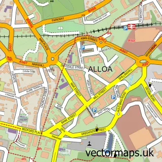
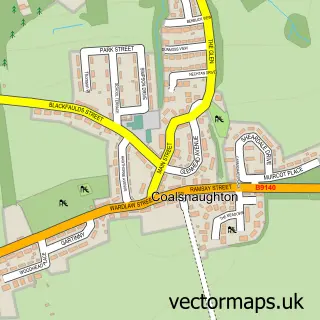
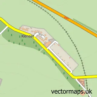
This Sauchie street map is a detailed vector street map covering a 750m x 750m area. Select a larger area to create and download your own vector street map of Sauchie.
The 750-metre map sample for Sauchie covers 493 mapped buildings and approximately 22.6 km of road detail, of which 38 named roads are named. The immediate area includes 2 GP surgeries, with 4 within 2 miles, 1 pub and 9 MOT stations within 2 miles. The wider area around Sauchie features 3 food and drink venues and 1 campsite within 2 miles. To create a larger or custom map of Sauchie, the map builder lets you define your own coverage area and download editable SVG, PDF and PNG files.
Create a larger editable map of Sauchie
Choose any area you need and generate a high-quality vector map instantly. Perfect for print, planning, design, business and personal use.

This Sauchie street map in Clackmannan is available as downloadable SVG, PDF and PNG map files, or as a printed map for planning, business, display, education, local information and design work. You can also create a larger custom map area using the map selector.
What this Sauchie map sample shows
Sauchie lies within Clackmannanshire parish, part of Clackmannanshire Central ward in the Clackmannanshire local authority area. The postcode geography for this area includes the FK postcode area, the FK10 postcode district and the FK10 3 postcode sector. Residents fall under the Forth Valley for NHS services.
Local features near Sauchie
Within 2 milesAmenities and services in and around Sauchie.
Administrative and postcode information for Sauchie
Sauchie lies within Clackmannanshire parish, part of Clackmannanshire Central ward in the Clackmannanshire local authority area. The postcode geography for this area includes the FK postcode area, the FK10 postcode district and the FK10 3 postcode sector. Residents fall under the Forth Valley for NHS services.
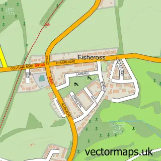
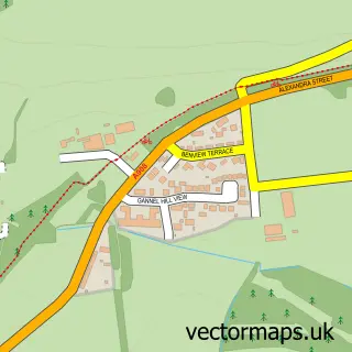
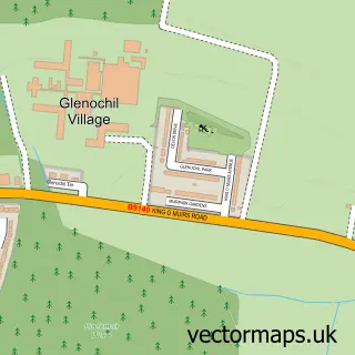
Nearby street map samples around Sauchie

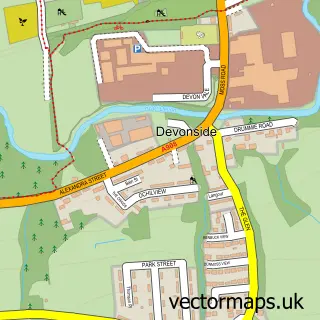
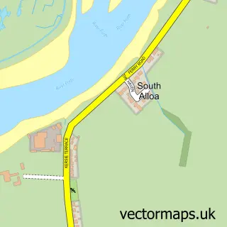
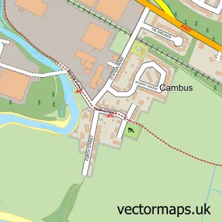
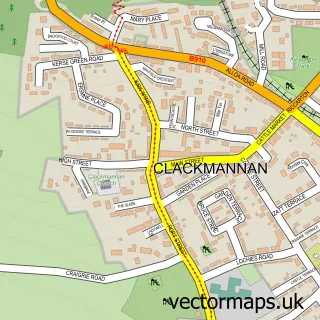
More street maps in Clackmannan
750 metre map area coverage
Boundary, postcode and point of interest information for the 750m x 750m rectangle centred on this sample map.
Boundaries containing map centre
Constituency: Alloa and Grangemouth Co Const
District: Clackmannanshire
Icb: Forth Valley
Postcode District: FK10
Postcode Sector: FK10 3
Ward: Clackmannanshire Central Ward
Nearby boundaries intersecting sample
No additional intersecting boundaries found.
Postcode coverage
POI category counts
Convenience Store: 6
Beauty Salon: 3
Building Supply Store: 3
Hair Salon: 3
Hospital: 3
Car Dealer: 2
Chinese Restaurant: 2
Church Cathedral: 2
Community Center: 2
Doctor: 2
Sample points of interest
- Park Crescent
- Scottish Ambulance Service Sauchie Station
- ATM (Post Office)
- Tower Bakery
- Whitelaws Sports Bar
- Beauty Matters
- Bleu hair, beauty and nails
- Megan’s Beauty Bar
- Betfred
- Central Boiler Services
- DSY Roofing & Building Contractors Ltd
- Norland Joinery
Create a larger editable map of Sauchie
This sample shows only a 750 metre area. To create a larger map of Sauchie, use our map builder to choose your own coverage area, add titles and download editable SVG, PDF and PNG files.
Create a custom map of Sauchie