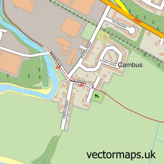
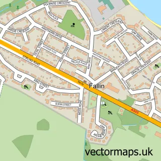
This Tullibody street map is a detailed vector street map covering a 750m x 750m area. Select a larger area to create and download your own vector street map of Tullibody.
The 750-metre map sample for Tullibody covers 424 mapped buildings and approximately 20.5 km of road detail, of which 34 named roads are named. The immediate area includes 1 GP surgery within 2 miles, 2 pubs and 6 MOT stations within 2 miles. The wider area around Tullibody features 1 tourism point of interest and 3 food and drink venues. To create a larger or custom map of Tullibody, the map builder lets you define your own coverage area and download editable SVG, PDF and PNG files.
Create a larger editable map of Tullibody
Choose any area you need and generate a high-quality vector map instantly. Perfect for print, planning, design, business and personal use.

This Tullibody street map in Clackmannan is available as downloadable SVG, PDF and PNG map files, or as a printed map for planning, business, display, education, local information and design work. You can also create a larger custom map area using the map selector.
What this Tullibody map sample shows
Tullibody lies within Clackmannanshire parish, part of Clackmannanshire West ward in the Clackmannanshire local authority area. The postcode geography for this area includes the FK postcode area, the FK10 postcode district and the FK10 2 postcode sector. Residents fall under the Forth Valley for NHS services.
Local features near Tullibody
Within 2 milesAmenities and services in and around Tullibody.
Administrative and postcode information for Tullibody
The local authority covering Tullibody is Clackmannanshire, within the county of Clackmannan. The settlement lies within Clackmannanshire West ward and Clackmannanshire civil parish. The FK10 postcode district and FK10 2 postcode sector serve the immediate area. NHS provision in the area is delivered through Forth Valley.
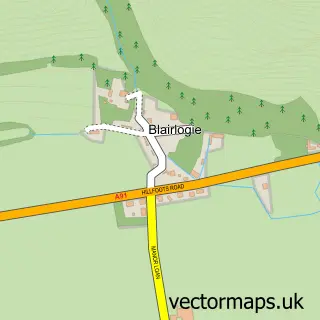
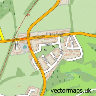
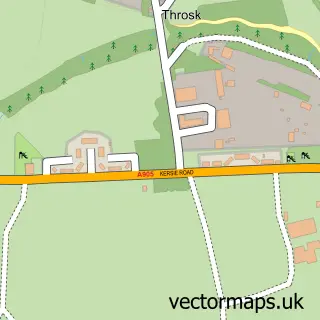
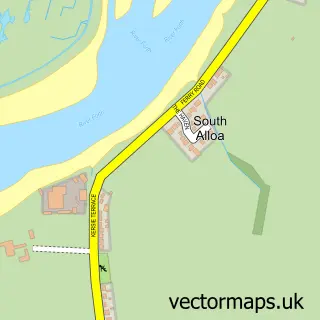
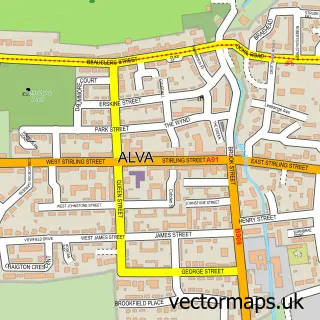
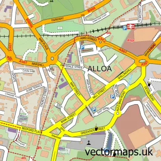
Nearby street map samples around Tullibody

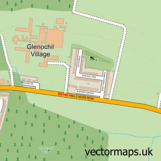
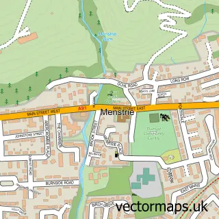
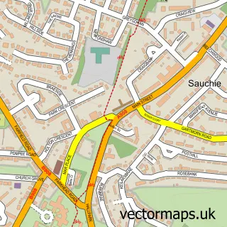
More street maps in Clackmannan
750 metre map area coverage
Boundary, postcode and point of interest information for the 750m x 750m rectangle centred on this sample map.
Boundaries containing map centre
Constituency: Alloa and Grangemouth Co Const
District: Clackmannanshire
Icb: Forth Valley
Postcode District: FK10
Postcode Sector: FK10 2
Ward: Clackmannanshire West Ward
Nearby boundaries intersecting sample
Postcode District: FK11
Postcode Sector: FK10 3, FK11 7
Postcode coverage
POI category counts
Atms: 4
Beauty Salon: 4
Church Cathedral: 4
Doctor: 4
Elementary School: 4
Convenience Store: 3
Barber: 2
Chinese Restaurant: 2
Dentist: 2
Fast Food Restaurant: 2
Sample points of interest
- (ERF) Tullibody Grocery Store, Tullibody
- ATM (Post Office)
- Atm
- The Cooperative Food (BF) Tullibody - Alloa, Tullibody
- Calm Peace & Serenity
- Goodfellas
- Tron Barbers
- Flawless Beauty Bar
- Changes Hairdressing Salon
- Flawless Beauty Bar
- Nova Beauty & Aesthetics
- Tranquillite
Create a larger editable map of Tullibody
This sample shows only a 750 metre area. To create a larger map of Tullibody, use our map builder to choose your own coverage area, add titles and download editable SVG, PDF and PNG files.
Create a custom map of Tullibody