Vector Maps logo
Home Why it works Popular maps Districts Samples Customizer Create Your Map
VectorMaps.uk
Home Popular maps Districts Samples Customizer Create Your Map Privacy Disclaimer
Home / UK Maps / Stirling and Falkirk / Dunblane Map

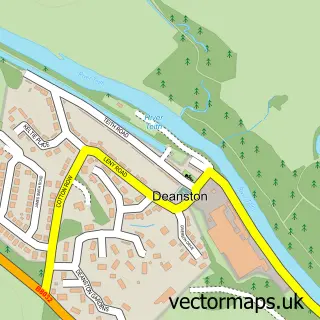
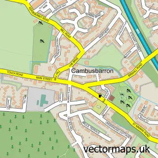
This Dunblane street map is a detailed vector street map covering a 750m x 750m area. Select a larger area to create and download your own vector street map of Dunblane.

Dunblane is a town in Stirling And Falkirk, in the Mid Scotland And Fife of Scotland. Historically, the area formed part of Perthshire. The settlement falls within the Stirling parliamentary constituency. It is served by the FK15 postcode district, with F

The 750-metre map sample for Dunblane covers 157 mapped buildings and approximately 19.6 km of road detail, of which 35 named roads are named. The immediate area includes 1 railway station, 1 GP surgery and 4 pubs. The wider area around Dunblane features 3 tourism points of interest, 12 food and drink venues and 4 hotels. To create a larger or custom map of Dunblane, the map builder lets you define your own coverage area and download editable SVG, PDF and PNG files.

157Buildings
19.62 kmRoads
35Named roads
0Residents within 2 miles
Create your own

Create a larger editable map of Dunblane

Choose any area you need and generate a high-quality vector map instantly. Perfect for print, planning, design, business and personal use.

Choose any location
Editable SVG files
Any size up to A0
PDF, PNG & more
Instant download
High quality guaranteed
Create My Custom Map
Secure, private & no credit card required
Dunblane Vector Street Map
750m Sample
Dunblane vector street map sample showing roads, buildings and local features in a 750 metre preview area
Buy Dunblane Map Print from £12.95 Buy Dunblane Digital Map from £6

This Dunblane street map in Stirling and Falkirk is available as downloadable SVG, PDF and PNG map files, or as a printed map for planning, business, display, education, local information and design work. You can also create a larger custom map area using the map selector.

What this Dunblane map sample shows

Dunblane lies within Stirling parish, part of Dunblane And Bridge Of Allan ward in the Stirling local authority area. The postcode geography for this area includes the FK postcode area, the FK15 postcode district and the FK15 0 postcode sector. Residents fall under the Forth Valley for NHS services.

Local features near Dunblane

Within 2 miles

Amenities and services in and around Dunblane.

1 Railway stations
1 GP surgeries 1 within 2 miles
3 Tourism & leisure
12 Food & drink
4 Pubs
4 Hotels
8 Healthcare POIs
1 Vehicle services

Counts are approximate and based on publicly available data.

Administrative and postcode information for Dunblane

Dunblane lies within Stirling parish, part of Dunblane And Bridge Of Allan ward in the Stirling local authority area. The postcode geography for this area includes the FK postcode area, the FK15 postcode district and the FK15 0 postcode sector. Residents fall under the Forth Valley for NHS services.

Parish STIRLING
Ward Dunblane and Bridge of Allan
District / local authority Stirling
County Stirling and Falkirk
Historic county Perthshire
Postcode district FK15
Postcode sector FK15 0
Parliamentary constituency Stirling
Region Mid Scotland and Fife
Country Scotland

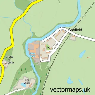
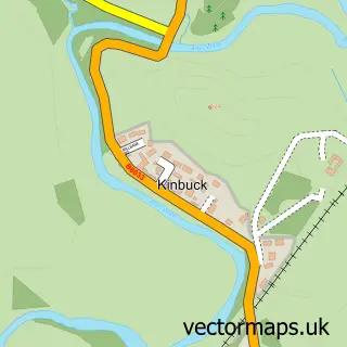
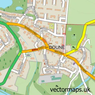
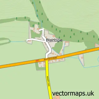
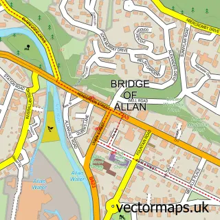
Nearby street map samples around Dunblane

Street map sample of Stirling, Stirling and Falkirk Stirling City - Stirling and Falkirk - 5.0 miles Street map sample of Ashfield, Stirling and Falkirk Ashfield Village - Stirling and Falkirk - 1.6 miles Street map sample of Kinbuck, Stirling and Falkirk Kinbuck Village - Stirling and Falkirk - 2.5 miles Street map sample of Doune, Stirling and Falkirk Doune Village - Stirling and Falkirk - 3.4 miles Street map sample of Blairlogie, Stirling and Falkirk Blairlogie Village - Stirling and Falkirk - 4.0 miles Street map sample of Deanston, Stirling and Falkirk Deanston Village - Stirling and Falkirk - 4.2 miles Street map sample of Cambuskenneth, Stirling and Falkirk Cambuskenneth Village - Stirling and Falkirk - 4.7 miles Street map sample of Menstrie, Clackmannan Menstrie Village - Clackmannan - 5.0 miles Street map sample of Greenloaning, Perth and Kinross Greenloaning Village - Perth and Kinross - 5.0 miles Street map sample of Cambusbarron, Stirling and Falkirk Cambusbarron Village - Stirling and Falkirk - 5.5 miles

More street maps in Stirling and Falkirk

Street map sample of Ashfield, Stirling and Falkirk Ashfield Village - 1.6 miles Street map sample of Bridge of Allan, Stirling and Falkirk Bridge of Allan Town - 2.4 miles Street map sample of Kinbuck, Stirling and Falkirk Kinbuck Village - 2.5 miles Street map sample of Doune, Stirling and Falkirk Doune Village - 3.4 miles Street map sample of Blairlogie, Stirling and Falkirk Blairlogie Village - 4.0 miles

750 metre map area coverage

Boundary, postcode and point of interest information for the 750m x 750m rectangle centred on this sample map.

Boundaries containing map centre

Constituency: Stirling and Strathallan Co Const

District: Stirling

Icb: Forth Valley

Postcode District: FK15

Postcode Sector: FK15 0

Ward: Dunblane and Bridge of Allan Ward

Nearby boundaries intersecting sample

Postcode Sector: FK15 9

Postcode coverage

FK15 FK15 0 FK15 9

POI category counts

Beauty Salon: 6

Church Cathedral: 5

Flowers And Gifts Shop: 4

Grocery Store: 4

Hotel: 4

Pub: 4

Beauty And Spa: 3

Butcher Shop: 3

Coffee Shop: 3

Dentist: 3

Sample points of interest

  • Robertson's Tax & Accounting Services Ltd Accountant
  • The A9 Partnership Ltd. Accountant
  • College Links Golf Active Life
  • Acupuncture Health Matters Alternative Medicine
  • Sue Ryder Antique Store
  • Robert Paul Architects Architectural Designer
  • Central Scotland School of Craft Art School
  • Tesco Bank Atms
  • Mathiesons Bakery
  • Bank of Scotland Bank Credit Union
  • RBS Bank Credit Union
  • Royal Bank of Scotland Banks

Create a larger editable map of Dunblane

This sample shows only a 750 metre area. To create a larger map of Dunblane, use our map builder to choose your own coverage area, add titles and download editable SVG, PDF and PNG files.

Create a custom map of Dunblane

Phone 01751 473136 | Copyright Vectormaps.uk 2026

Samples Customizer Privacy Disclaimer
Dunblane Vector Street Map
Dunblane enlarged street map sample showing a 750 metre preview area