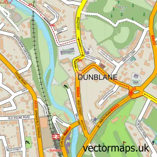
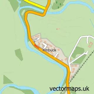
This Doune street map is a detailed vector street map covering a 750m x 750m area. Select a larger area to create and download your own vector street map of Doune.
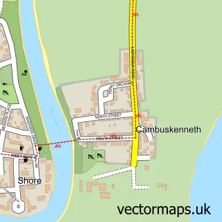
The 750-metre map sample for Doune covers 157 mapped buildings and approximately 17.6 km of road detail, of which 29 named roads are named. The immediate area includes 1 GP surgery and 1 MOT station, with 2 within 2 miles. The wider area around Doune features 1 tourism point of interest, 2 food and drink venues and 3 hotels. To create a larger or custom map of Doune, the map builder lets you define your own coverage area and download editable SVG, PDF and PNG files.
Create a larger editable map of Doune
Choose any area you need and generate a high-quality vector map instantly. Perfect for print, planning, design, business and personal use.

This Doune street map in Stirling and Falkirk is available as downloadable SVG, PDF and PNG map files, or as a printed map for planning, business, display, education, local information and design work. You can also create a larger custom map area using the map selector.
What this Doune map sample shows
Doune lies within Stirling parish, part of Trossachs And Teith ward in the Stirling local authority area. The postcode geography for this area includes the FK postcode area, the FK16 postcode district and the FK16 6 postcode sector. Residents fall under the Forth Valley for NHS services.
Local features near Doune
Within 2 milesAmenities and services in and around Doune.
Administrative and postcode information for Doune
Doune lies within Stirling parish, part of Trossachs And Teith ward in the Stirling local authority area. The postcode geography for this area includes the FK postcode area, the FK16 postcode district and the FK16 6 postcode sector. Residents fall under the Forth Valley for NHS services.
Nearby street map samples around Doune

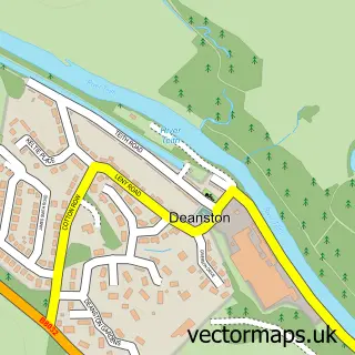
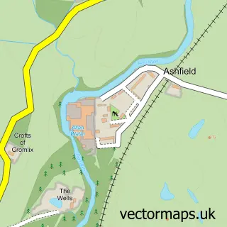
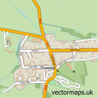
More street maps in Stirling and Falkirk
750 metre map area coverage
Boundary, postcode and point of interest information for the 750m x 750m rectangle centred on this sample map.
Boundaries containing map centre
Constituency: Stirling and Strathallan Co Const
District: Stirling
Icb: Forth Valley
Postcode District: FK16
Postcode Sector: FK16 6
Ward: Trossachs and Teith Ward
Nearby boundaries intersecting sample
Postcode District: FK15
Postcode Sector: FK15 9
Postcode coverage
POI category counts
Hair Salon: 4
Gift Shop: 3
Hotel: 3
Beauty Salon: 2
Bridal Shop: 2
Contractor: 2
Convenience Store: 2
Doctor: 2
Flowers And Gifts Shop: 2
Hiking Trail: 2
Sample points of interest
- Webb & Wallace Accounting Services
- M & M Marketing & Creative Solutions
- The Cooperative Food Doune, Castehill Court, Doune
- Motor Finance Scotland
- Orosay Mechanical Services
- Moya Wren
- The Collective Hair & Beauty
- Glenardoch House
- Woodlane of Doune
- Brooch Bouquet UK
- Charlotte Grace Bridal & Prom
- Key Facilities Management
Create a larger editable map of Doune
This sample shows only a 750 metre area. To create a larger map of Doune, use our map builder to choose your own coverage area, add titles and download editable SVG, PDF and PNG files.
Create a custom map of Doune