Vector Maps logo
Home Why it works Popular maps Districts Samples Customizer Create Your Map
VectorMaps.uk
Home Popular maps Districts Samples Customizer Create Your Map Privacy Disclaimer
Home / UK Maps / Stirling and Falkirk / Kippen Map

This Kippen street map is a detailed vector street map covering a 750m x 750m area. Select a larger area to create and download your own vector street map of Kippen.

Kippen is a village in Stirling And Falkirk, in the Mid Scotland And Fife of Scotland. Historically, the area formed part of Stirlingshire. The settlement falls within the Stirling parliamentary constituency. It is served by the FK8 postcode district, wit

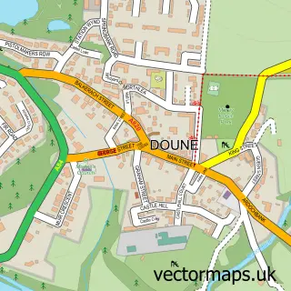
The 750-metre map sample for Kippen covers 266 mapped buildings and approximately 10.0 km of road detail, of which 16 named roads are named. The immediate area includes 1 GP surgery, 2 pubs and 1 MOT station. The wider area around Kippen features 1 tourism point of interest and 4 food and drink venues. To create a larger or custom map of Kippen, the map builder lets you define your own coverage area and download editable SVG, PDF and PNG files.

266Buildings
9.95 kmRoads
16Named roads
0Residents within 2 miles
Create your own

Create a larger editable map of Kippen

Choose any area you need and generate a high-quality vector map instantly. Perfect for print, planning, design, business and personal use.

Choose any location
Editable SVG files
Any size up to A0
PDF, PNG & more
Instant download
High quality guaranteed
Create My Custom Map
Secure, private & no credit card required
Kippen Vector Street Map
750m Sample
Kippen vector street map sample showing roads, buildings and local features in a 750 metre preview area
Buy Kippen Map Print from £12.95 Buy Kippen Digital Map from £6

This Kippen street map in Stirling and Falkirk is available as downloadable SVG, PDF and PNG map files, or as a printed map for planning, business, display, education, local information and design work. You can also create a larger custom map area using the map selector.

What this Kippen map sample shows

Kippen lies within Stirling parish, part of Forth And Endrick ward in the Stirling local authority area. The postcode geography for this area includes the FK postcode area, the FK8 postcode district and the FK8 3 postcode sector. Residents fall under the Forth Valley for NHS services.

Local features near Kippen

Within 2 miles

Amenities and services in and around Kippen.

1 GP surgeries 1 within 2 miles
1 MOT stations 1 within 2 miles
1 Tourism & leisure
4 Food & drink
2 Pubs
2 Healthcare POIs

Counts are approximate and based on publicly available data.

Administrative and postcode information for Kippen

The local authority covering Kippen is Stirling, within the county of Stirling And Falkirk. The settlement lies within Forth And Endrick ward and Stirling civil parish. The FK8 postcode district and FK8 3 postcode sector serve the immediate area. NHS provision in the area is delivered through Forth Valley.

Parish STIRLING
Ward Forth and Endrick
District / local authority Stirling
County Stirling and Falkirk
Historic county Stirlingshire
Postcode district FK8
Postcode sector FK8 3
Parliamentary constituency Stirling
Region Mid Scotland and Fife
Country Scotland

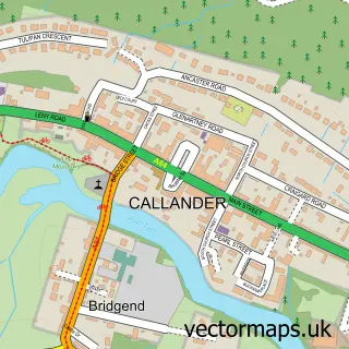
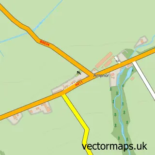
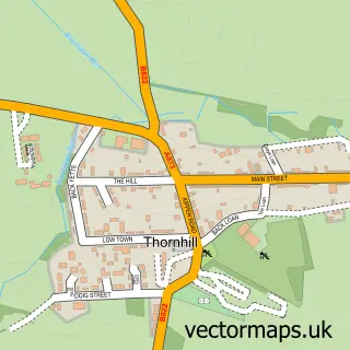
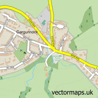
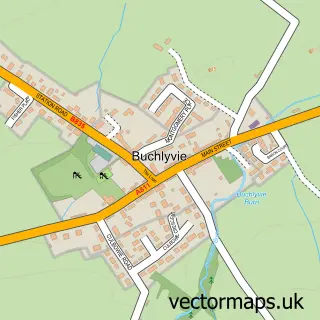
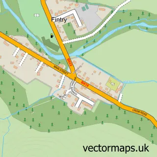
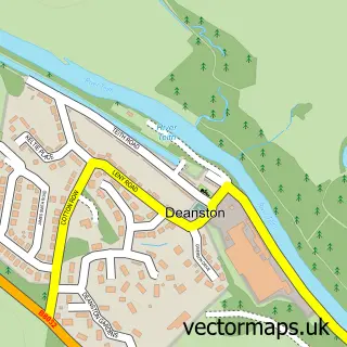
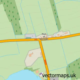
Nearby street map samples around Kippen

Street map sample of Callander, Stirling and Falkirk Callander Town - Stirling and Falkirk - 8.3 miles Street map sample of Stirling, Stirling and Falkirk Stirling City - Stirling and Falkirk - 9.1 miles Street map sample of Arnprior, Stirling and Falkirk Arnprior Village - Stirling and Falkirk - 2.5 miles Street map sample of Thornhill, Stirling and Falkirk Thornhill Village - Stirling and Falkirk - 3.3 miles Street map sample of Gargunnock, Stirling and Falkirk Gargunnock Village - Stirling and Falkirk - 3.4 miles Street map sample of Buchlyvie, Stirling and Falkirk Buchlyvie Village - Stirling and Falkirk - 4.8 miles Street map sample of Fintry, Stirling and Falkirk Fintry Village - Stirling and Falkirk - 5.5 miles Street map sample of Deanston, Stirling and Falkirk Deanston Village - Stirling and Falkirk - 5.8 miles Street map sample of Port of Menteith, Stirling and Falkirk Port of Menteith Village - Stirling and Falkirk - 5.9 miles Street map sample of Doune, Stirling and Falkirk Doune Village - Stirling and Falkirk - 6.3 miles

More street maps in Stirling and Falkirk

Street map sample of Arnprior, Stirling and Falkirk Arnprior Village - 2.5 miles Street map sample of Thornhill, Stirling and Falkirk Thornhill Village - 3.3 miles Street map sample of Gargunnock, Stirling and Falkirk Gargunnock Village - 3.4 miles Street map sample of Buchlyvie, Stirling and Falkirk Buchlyvie Village - 4.8 miles Street map sample of Fintry, Stirling and Falkirk Fintry Village - 5.5 miles

750 metre map area coverage

Boundary, postcode and point of interest information for the 750m x 750m rectangle centred on this sample map.

Boundaries containing map centre

Constituency: Stirling and Strathallan Co Const

District: Stirling

Icb: Forth Valley

Postcode District: FK8

Postcode Sector: FK8 3

Ward: Forth and Endrick Ward

Nearby boundaries intersecting sample

No additional intersecting boundaries found.

Postcode coverage

FK8 FK8 3

POI category counts

Butcher Shop: 2

Community Center: 2

Pub: 2

Advertising Agency: 1

Auto Company: 1

Beauty And Spa: 1

Cafe: 1

Caterer: 1

Catholic Church: 1

Church Cathedral: 1

Sample points of interest

  • Floral Fundamentals Advertising Agency
  • Bust knuckle motorcycles Auto Company
  • All Eyes On Me Training School Beauty And Spa
  • Skinner of Kippen Butcher Shop
  • T & R Skinner Butcher Shop
  • Rhubarb Lime Cafe
  • Mythaikippen Caterer
  • Kippen and Norrieston Catholic Church
  • Kippen Parish Church Church Cathedral
  • Kippen Reading Rooms Community Center
  • Kippen Village Hall Community Center
  • Costcutter Convenience Store

Create a larger editable map of Kippen

This sample shows only a 750 metre area. To create a larger map of Kippen, use our map builder to choose your own coverage area, add titles and download editable SVG, PDF and PNG files.

Create a custom map of Kippen

Phone 01751 473136 | Copyright Vectormaps.uk 2026

Samples Customizer Privacy Disclaimer
Kippen Vector Street Map
Kippen enlarged street map sample showing a 750 metre preview area