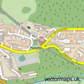
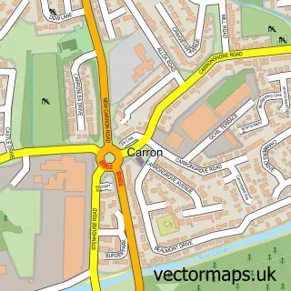
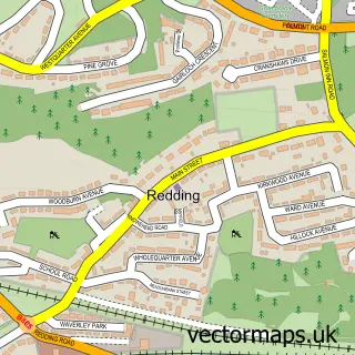
This Falkirk street map is a detailed vector street map covering a 750m x 750m area. Select a larger area to create and download your own vector street map of Falkirk.
The 750-metre map sample for Falkirk covers 354 mapped buildings and approximately 22.8 km of road detail, of which 68 named roads are named. The immediate area includes 1 railway station, 1 GP surgery, with 6 within 2 miles, 14 pubs and 1 MOT station, with 28 within 2 miles. The wider area around Falkirk features 3 tourism points of interest, 47 food and drink venues and 5 hotels. To create a larger or custom map of Falkirk, the map builder lets you define your own coverage area and download editable SVG, PDF and PNG files.
Create a larger editable map of Falkirk
Choose any area you need and generate a high-quality vector map instantly. Perfect for print, planning, design, business and personal use.

This Falkirk street map in Stirling and Falkirk is available as downloadable SVG, PDF and PNG map files, or as a printed map for planning, business, display, education, local information and design work. You can also create a larger custom map area using the map selector.
What this Falkirk map sample shows
Falkirk lies within Falkirk parish, part of Falkirk South ward in the Falkirk local authority area. The postcode geography for this area includes the FK postcode area, the FK1 postcode district and the FK1 1 postcode sector. Residents fall under the Forth Valley for NHS services.
Local features near Falkirk
Within 2 milesAmenities and services in and around Falkirk.
Administrative and postcode information for Falkirk
Falkirk lies within Falkirk parish, part of Falkirk South ward in the Falkirk local authority area. The postcode geography for this area includes the FK postcode area, the FK1 postcode district and the FK1 1 postcode sector. Residents fall under the Forth Valley for NHS services.
Nearby street map samples around Falkirk

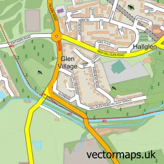
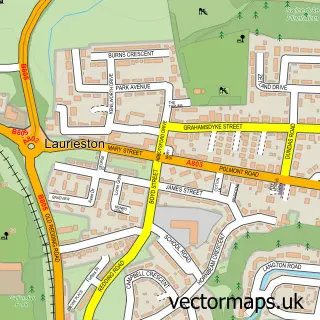
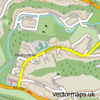
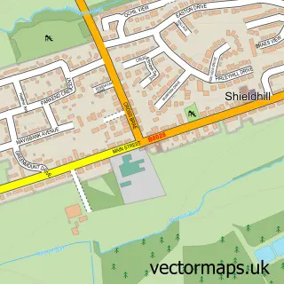
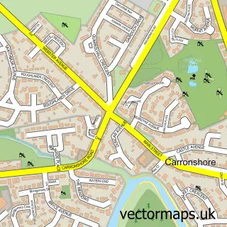
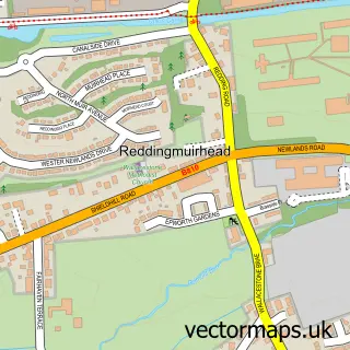
More street maps in Stirling and Falkirk
750 metre map area coverage
Boundary, postcode and point of interest information for the 750m x 750m rectangle centred on this sample map.
Boundaries containing map centre
Constituency: Falkirk Co Const
District: Falkirk
Icb: Forth Valley
Postcode District: FK1
Postcode Sector: FK1 1
Ward: Falkirk South Ward
Nearby boundaries intersecting sample
Postcode District: FK2
Postcode Sector: FK1 5, FK2 7
Ward: Falkirk North Ward
Postcode coverage
POI category counts
Beauty Salon: 57
Hair Salon: 27
Clothing Store: 25
Professional Services: 19
Beauty And Spa: 18
Barber: 15
Cafe: 14
Charity Organization: 14
Gym: 14
Pub: 14
Sample points of interest
- Barrie Scott & Co
- DTA & Co
- Donoghue & Co. Ltd
- Ian Macfarlane Limited
- James Nicol Limited
- Stewart Accounting Services
- Supernova Run
- Bright Yellow Media
- Back 2 Life Clinic
- Noble Leisure
- Lyn's Small Animal Rehoming Services
- Cats Protection Charity Shop
Create a larger editable map of Falkirk
This sample shows only a 750 metre area. To create a larger map of Falkirk, use our map builder to choose your own coverage area, add titles and download editable SVG, PDF and PNG files.
Create a custom map of Falkirk