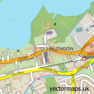
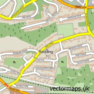
This Whitecross street map is a detailed vector street map covering a 750m x 750m area. Select a larger area to create and download your own vector street map of Whitecross.
The 750-metre map sample for Whitecross covers 169 mapped buildings and approximately 15.4 km of road detail, of which 15 named roads are named. The immediate area includes 1 GP surgery within 2 miles and 2 MOT stations within 2 miles. To create a larger or custom map of Whitecross, the map builder lets you define your own coverage area and download editable SVG, PDF and PNG files.
Create a larger editable map of Whitecross
Choose any area you need and generate a high-quality vector map instantly. Perfect for print, planning, design, business and personal use.

This Whitecross street map in Stirling and Falkirk is available as downloadable SVG, PDF and PNG map files, or as a printed map for planning, business, display, education, local information and design work. You can also create a larger custom map area using the map selector.
What this Whitecross map sample shows
Whitecross lies within Falkirk parish, part of Upper Braes ward in the Falkirk local authority area. The postcode geography for this area includes the EH postcode area, the EH49 postcode district and the EH49 6 postcode sector. Residents fall under the Forth Valley for NHS services.
Local features near Whitecross
Within 2 milesAmenities and services in and around Whitecross.
Administrative and postcode information for Whitecross
Whitecross lies within Falkirk parish, part of Upper Braes ward in the Falkirk local authority area. The postcode geography for this area includes the EH postcode area, the EH49 postcode district and the EH49 6 postcode sector. Residents fall under the Forth Valley for NHS services.
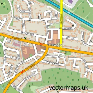
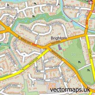
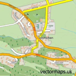
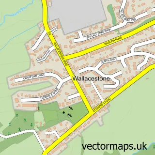
Nearby street map samples around Whitecross

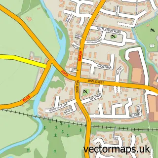
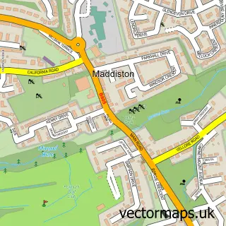
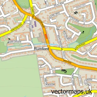
More street maps in Stirling and Falkirk
750 metre map area coverage
Boundary, postcode and point of interest information for the 750m x 750m rectangle centred on this sample map.
Boundaries containing map centre
Constituency: Falkirk Co Const
District: Falkirk
Icb: Forth Valley
Postcode District: EH49
Postcode Sector: EH49 6
Ward: Upper Braes Ward
Nearby boundaries intersecting sample
Postcode Sector: EH49 7
Postcode coverage
POI category counts
Atms: 1
Auto Electrical Repair: 1
Auto Upholstery: 1
Community Center: 1
Courier And Delivery Services: 1
Education: 1
Electrician: 1
Football Stadium: 1
Hair Salon: 1
Motorcycle Repair: 1
Sample points of interest
- Saqi Superstore (Mirren) (Protected), Whitecross
- A M P M Electrical
- Struthers And Newton Upholstery
- Whitecross Junction
- Evri ParcelShop
- Whitecross Primary School
- Ampm Electrical
- Grangemouth Broncos Gameday Venue
- TKhair
- Planet Advanced Racing Suspension | Linlithgow
- Whitecross playground
- Whitecross Post Office
Create a larger editable map of Whitecross
This sample shows only a 750 metre area. To create a larger map of Whitecross, use our map builder to choose your own coverage area, add titles and download editable SVG, PDF and PNG files.
Create a custom map of Whitecross