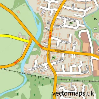
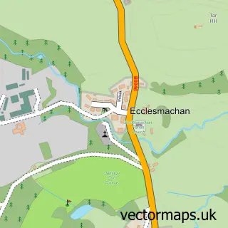
This Linlithgow street map is a detailed vector street map covering a 750m x 750m area. Select a larger area to create and download your own vector street map of Linlithgow.
The 750-metre map sample for Linlithgow covers 236 mapped buildings and approximately 12.0 km of road detail, of which 25 named roads are named. The immediate area includes 1 railway station, 1 GP surgery within 2 miles, 10 pubs and 3 MOT stations within 2 miles. The wider area around Linlithgow features 6 tourism points of interest, 31 food and drink venues and 5 hotels. To create a larger or custom map of Linlithgow, the map builder lets you define your own coverage area and download editable SVG, PDF and PNG files.
Create a larger editable map of Linlithgow
Choose any area you need and generate a high-quality vector map instantly. Perfect for print, planning, design, business and personal use.

This Linlithgow street map in West Lothian is available as downloadable SVG, PDF and PNG map files, or as a printed map for planning, business, display, education, local information and design work. You can also create a larger custom map area using the map selector.
What this Linlithgow map sample shows
Linlithgow lies within West Lothian parish, part of Linlithgow ward in the West Lothian local authority area. The postcode geography for this area includes the EH postcode area, the EH49 postcode district and the EH49 7 postcode sector. Residents fall under the Lothian for NHS services.
Local features near Linlithgow
Within 2 milesAmenities and services in and around Linlithgow.
Administrative and postcode information for Linlithgow
The local authority covering Linlithgow is West Lothian, within the county of West Lothian. The settlement lies within Linlithgow ward and West Lothian civil parish. The EH49 postcode district and EH49 7 postcode sector serve the immediate area. NHS provision in the area is delivered through Lothian.
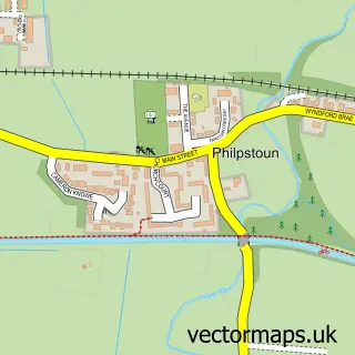
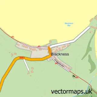
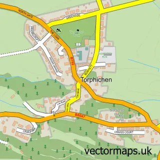
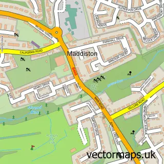
Nearby street map samples around Linlithgow

More street maps in West Lothian
750 metre map area coverage
Boundary, postcode and point of interest information for the 750m x 750m rectangle centred on this sample map.
Boundaries containing map centre
Constituency: Bathgate and Linlithgow Co Const
District: West Lothian
Icb: Lothian
Postcode District: EH49
Postcode Sector: EH49 7
Ward: Linlithgow Ward
Nearby boundaries intersecting sample
Postcode Sector: EH49 6
Postcode coverage
POI category counts
Beauty Salon: 12
Charity Organization: 11
Cafe: 10
Pub: 10
Hair Salon: 9
Coffee Shop: 8
Real Estate Agent: 7
Flowers And Gifts Shop: 6
Banks: 5
Hotel: 5
Sample points of interest
- St. Johns Church
- Mid-C-Mod
- Karen Clark RE/MAX
- EKJN architects
- EKJN architects
- Linlithgow Centre for Contemporary Arts
- The Line Gallery
- The West End Gallery
- Linlithgow Craft Centre
- Linlithgow Craft Centre
- Nifty Needles
- Purely Patchwork
Create a larger editable map of Linlithgow
This sample shows only a 750 metre area. To create a larger map of Linlithgow, use our map builder to choose your own coverage area, add titles and download editable SVG, PDF and PNG files.
Create a custom map of Linlithgow