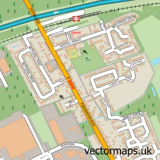
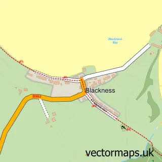
This Ecclesmachan street map is a detailed vector street map covering a 750m x 750m area. Select a larger area to create and download your own vector street map of Ecclesmachan.
The 750-metre map sample for Ecclesmachan covers 45 mapped buildings and approximately 5.1 km of road detail, of which 2 named roads are named. The immediate area includes 3 GP surgeries within 2 miles and 6 MOT stations within 2 miles. To create a larger or custom map of Ecclesmachan, the map builder lets you define your own coverage area and download editable SVG, PDF and PNG files.
Create a larger editable map of Ecclesmachan
Choose any area you need and generate a high-quality vector map instantly. Perfect for print, planning, design, business and personal use.

This Ecclesmachan street map in West Lothian is available as downloadable SVG, PDF and PNG map files, or as a printed map for planning, business, display, education, local information and design work. You can also create a larger custom map area using the map selector.
What this Ecclesmachan map sample shows
Ecclesmachan lies within West Lothian parish, part of Broxburn, Uphall And Winchburgh ward in the West Lothian local authority area. The postcode geography for this area includes the EH postcode area, the EH52 postcode district and the EH52 6 postcode sector. Residents fall under the Lothian for NHS services.
Local features near Ecclesmachan
Within 2 milesAmenities and services in and around Ecclesmachan.
Administrative and postcode information for Ecclesmachan
Ecclesmachan lies within West Lothian parish, part of Broxburn, Uphall And Winchburgh ward in the West Lothian local authority area. The postcode geography for this area includes the EH postcode area, the EH52 postcode district and the EH52 6 postcode sector. Residents fall under the Lothian for NHS services.
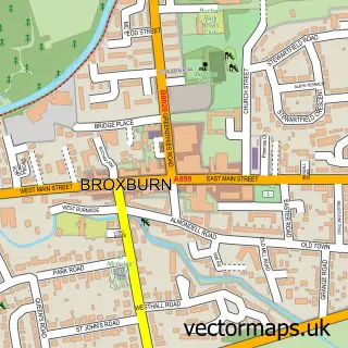
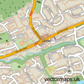
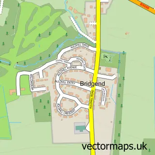
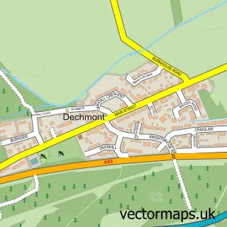
Nearby street map samples around Ecclesmachan

More street maps in West Lothian
750 metre map area coverage
Boundary, postcode and point of interest information for the 750m x 750m rectangle centred on this sample map.
Boundaries containing map centre
Constituency: Livingston Co Const
District: West Lothian
Icb: Lothian
Postcode District: EH52
Postcode Sector: EH52 6
Ward: Broxburn, Uphall and Winchburgh Ward
Nearby boundaries intersecting sample
No additional intersecting boundaries found.
Postcode coverage
POI category counts
College University: 2
Hospital: 2
Equestrian Facility: 1
Home Service: 1
Pet Groomer: 1
Wholesale Florist: 1
Sample points of interest
- Oatridge College
- SRUC Oatridge Campus
- Scottish National Equestrian Centre
- Ecclesmachan & Threemiletown Baby & Toddler Group
- Huntercombe Edinburgh Hospital
- Huntercombe Hospital Edinburgh
- Oatridge Dog Grooming Salon
- Binny Plants
Create a larger editable map of Ecclesmachan
This sample shows only a 750 metre area. To create a larger map of Ecclesmachan, use our map builder to choose your own coverage area, add titles and download editable SVG, PDF and PNG files.
Create a custom map of Ecclesmachan