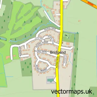
This Winchburgh street map is a detailed vector street map covering a 750m x 750m area. Select a larger area to create and download your own vector street map of Winchburgh.
The 750-metre map sample for Winchburgh covers 321 mapped buildings and approximately 13.6 km of road detail, of which 23 named roads are named. The immediate area includes 1 pub and 7 MOT stations within 2 miles. The wider area around Winchburgh features 3 tourism points of interest and 1 food and drink venue. To create a larger or custom map of Winchburgh, the map builder lets you define your own coverage area and download editable SVG, PDF and PNG files.
Create a larger editable map of Winchburgh
Choose any area you need and generate a high-quality vector map instantly. Perfect for print, planning, design, business and personal use.

This Winchburgh street map in West Lothian is available as downloadable SVG, PDF and PNG map files, or as a printed map for planning, business, display, education, local information and design work. You can also create a larger custom map area using the map selector.
What this Winchburgh map sample shows
Winchburgh lies within West Lothian parish, part of Broxburn, Uphall And Winchburgh ward in the West Lothian local authority area. The postcode geography for this area includes the EH postcode area, the EH52 postcode district and the EH52 6 postcode sector. Residents fall under the Lothian for NHS services.
Local features near Winchburgh
Within 2 milesAmenities and services in and around Winchburgh.
Administrative and postcode information for Winchburgh
Winchburgh lies within West Lothian parish, part of Broxburn, Uphall And Winchburgh ward in the West Lothian local authority area. The postcode geography for this area includes the EH postcode area, the EH52 postcode district and the EH52 6 postcode sector. Residents fall under the Lothian for NHS services.
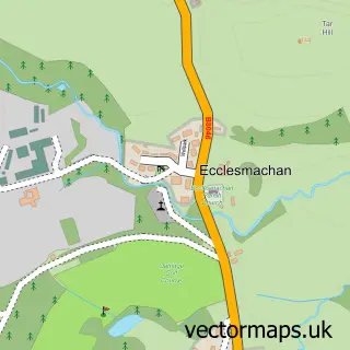
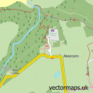
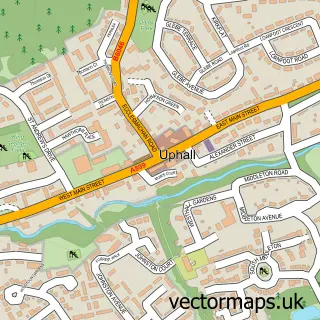
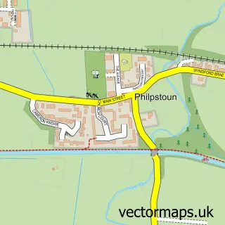
Nearby street map samples around Winchburgh

More street maps in West Lothian
750 metre map area coverage
Boundary, postcode and point of interest information for the 750m x 750m rectangle centred on this sample map.
Boundaries containing map centre
Constituency: Bathgate and Linlithgow Co Const
District: West Lothian
Icb: Lothian
Postcode District: EH52
Postcode Sector: EH52 6
Ward: Broxburn, Uphall and Winchburgh Ward
Nearby boundaries intersecting sample
No additional intersecting boundaries found.
Postcode coverage
POI category counts
Bar: 2
Building Supply Store: 2
Doctor: 2
Elementary School: 2
Ev Charging Station: 2
Grocery Store: 2
Home Developer: 2
International Grocery Store: 2
Park: 2
Pizza Restaurant: 2
Sample points of interest
- Dynasty
- Stewart Roden Motors
- Autosound Auto Electrical Motability
- The Sweetness Box
- St Philomena's Social Club
- Tally Ho Hotel
- Uncharted Cycle Repairs
- Halley Transport
- Winchburgh Health Centre
- John Lawson Butchers & Delicatessen
- St Philomena Catholic Church
- Winchburgh Parish Church
Create a larger editable map of Winchburgh
This sample shows only a 750 metre area. To create a larger map of Winchburgh, use our map builder to choose your own coverage area, add titles and download editable SVG, PDF and PNG files.
Create a custom map of Winchburgh