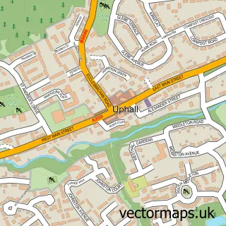
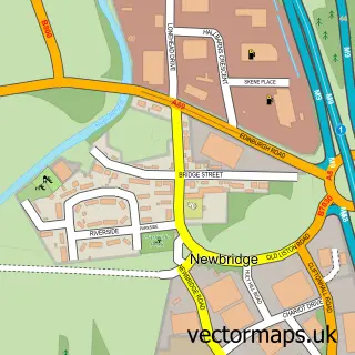
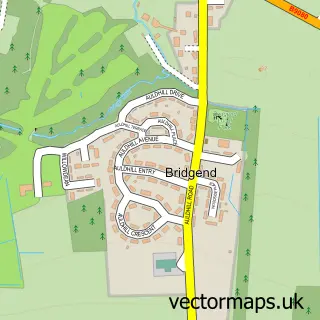
This Broxburn street map is a detailed vector street map covering a 750m x 750m area. Select a larger area to create and download your own vector street map of Broxburn.
The 750-metre map sample for Broxburn covers 456 mapped buildings and approximately 19.4 km of road detail, of which 42 named roads are named. The immediate area includes 3 GP surgeries within 2 miles, 4 pubs and 10 MOT stations within 2 miles. The wider area around Broxburn features 1 tourism point of interest and 10 food and drink venues. To create a larger or custom map of Broxburn, the map builder lets you define your own coverage area and download editable SVG, PDF and PNG files.
Create a larger editable map of Broxburn
Choose any area you need and generate a high-quality vector map instantly. Perfect for print, planning, design, business and personal use.

This Broxburn street map in West Lothian is available as downloadable SVG, PDF and PNG map files, or as a printed map for planning, business, display, education, local information and design work. You can also create a larger custom map area using the map selector.
What this Broxburn map sample shows
Broxburn lies within West Lothian parish, part of Broxburn, Uphall And Winchburgh ward in the West Lothian local authority area. The postcode geography for this area includes the EH postcode area, the EH52 postcode district and the EH52 5 postcode sector. Residents fall under the Lothian for NHS services.
Local features near Broxburn
Within 2 milesAmenities and services in and around Broxburn.
Administrative and postcode information for Broxburn
The local authority covering Broxburn is West Lothian, within the county of West Lothian. The settlement lies within Broxburn, Uphall And Winchburgh ward and West Lothian civil parish. The EH52 postcode district and EH52 5 postcode sector serve the immediate area. NHS provision in the area is delivered through Lothian.
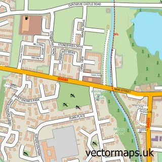
Nearby street map samples around Broxburn

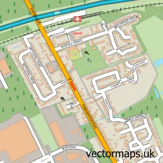
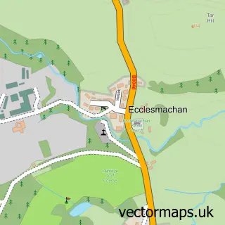
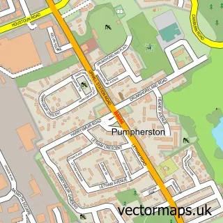
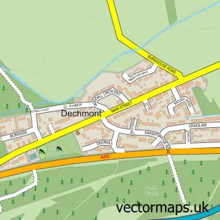
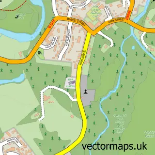
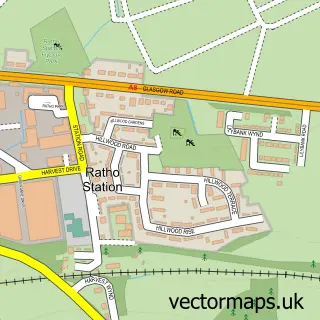
More street maps in West Lothian
750 metre map area coverage
Boundary, postcode and point of interest information for the 750m x 750m rectangle centred on this sample map.
Boundaries containing map centre
Constituency: Livingston Co Const
District: West Lothian
Icb: Lothian
Postcode District: EH52
Postcode Sector: EH52 5
Ward: Broxburn, Uphall and Winchburgh Ward
Nearby boundaries intersecting sample
Postcode Sector: EH52 6
Postcode coverage
POI category counts
Beauty Salon: 9
Hair Salon: 6
Professional Services: 5
Barber: 4
Beauty And Spa: 4
Convenience Store: 4
Indian Restaurant: 4
Pub: 4
Sports Club And League: 4
Automotive Repair: 3
Sample points of interest
- Blyth Smith
- Broxburn Athletic Football Club
- Superformance Automotive Ltd
- A & P Mechanics Ltd.
- Burnside Garage
- KR Autospray
- Tomasz Car-Van Repair
- Be One I T
- Robertson Bruce
- Baked Just Right
- Bank of Scotland
- RBS
Create a larger editable map of Broxburn
This sample shows only a 750 metre area. To create a larger map of Broxburn, use our map builder to choose your own coverage area, add titles and download editable SVG, PDF and PNG files.
Create a custom map of Broxburn