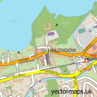
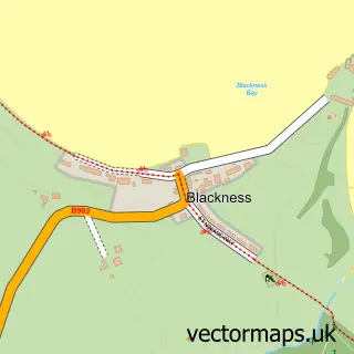
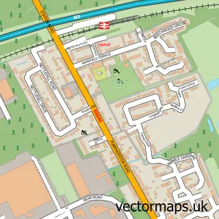
This Bridgend street map is a detailed vector street map covering a 750m x 750m area. Select a larger area to create and download your own vector street map of Bridgend.
The 750-metre map sample for Bridgend covers 137 mapped buildings and approximately 8.9 km of road detail, of which 11 named roads are named. The immediate area includes 1 MOT station within 2 miles. The wider area around Bridgend features 2 food and drink venues. To create a larger or custom map of Bridgend, the map builder lets you define your own coverage area and download editable SVG, PDF and PNG files.
Create a larger editable map of Bridgend
Choose any area you need and generate a high-quality vector map instantly. Perfect for print, planning, design, business and personal use.

This Bridgend street map in West Lothian is available as downloadable SVG, PDF and PNG map files, or as a printed map for planning, business, display, education, local information and design work. You can also create a larger custom map area using the map selector.
What this Bridgend map sample shows
Bridgend lies within West Lothian parish, part of Linlithgow ward in the West Lothian local authority area. The postcode geography for this area includes the EH postcode area, the EH49 postcode district and the EH49 6 postcode sector. Residents fall under the Lothian for NHS services.
Local features near Bridgend
Within 2 milesAmenities and services in and around Bridgend.
Administrative and postcode information for Bridgend
The local authority covering Bridgend is West Lothian, within the county of West Lothian. The settlement lies within Linlithgow ward and West Lothian civil parish. The EH49 postcode district and EH49 6 postcode sector serve the immediate area. NHS provision in the area is delivered through Lothian.
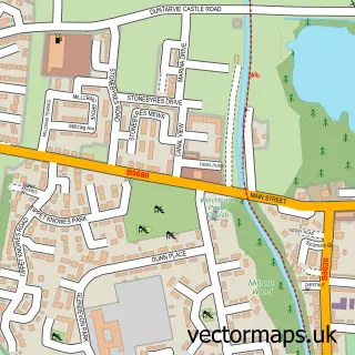
Nearby street map samples around Bridgend

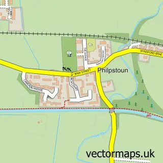
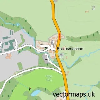
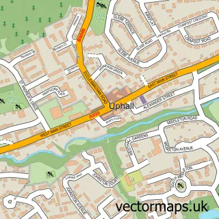
More street maps in West Lothian
750 metre map area coverage
Boundary, postcode and point of interest information for the 750m x 750m rectangle centred on this sample map.
Boundaries containing map centre
Constituency: Bathgate and Linlithgow Co Const
District: West Lothian
Icb: Lothian
Postcode District: EH49
Postcode Sector: EH49 6
Ward: Linlithgow Ward
Nearby boundaries intersecting sample
No additional intersecting boundaries found.
Postcode coverage
POI category counts
Restaurant: 2
Automotive: 1
Cleaning Services: 1
Community Center: 1
Convenience Store: 1
Elementary School: 1
Golf Course: 1
Mobility Equipment Services: 1
Retail: 1
Sample points of interest
- Bridgend Leisure Vehicles
- Daisy Cleaning Services
- Bridgend Community Education Centre
- Bridgend Post Office
- Bridgend Primary School
- Bridgend Golf and Footgolf
- Motability Scheme at Adaptmobility
- Foodies Hub & USAVE Bridgend
- The Refinery Restaurant
- Gordon Connor Haulage
Create a larger editable map of Bridgend
This sample shows only a 750 metre area. To create a larger map of Bridgend, use our map builder to choose your own coverage area, add titles and download editable SVG, PDF and PNG files.
Create a custom map of Bridgend