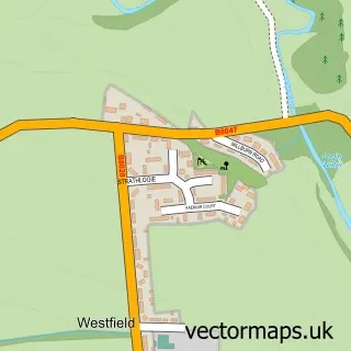
This Torphichen street map is a detailed vector street map covering a 750m x 750m area. Select a larger area to create and download your own vector street map of Torphichen.
The 750-metre map sample for Torphichen covers 190 mapped buildings and approximately 17.9 km of road detail, of which 14 named roads are named. The immediate area includes 1 pub and 1 MOT station within 2 miles. The wider area around Torphichen features 1 tourism point of interest and 1 food and drink venue. To create a larger or custom map of Torphichen, the map builder lets you define your own coverage area and download editable SVG, PDF and PNG files.
Create a larger editable map of Torphichen
Choose any area you need and generate a high-quality vector map instantly. Perfect for print, planning, design, business and personal use.

This Torphichen street map in West Lothian is available as downloadable SVG, PDF and PNG map files, or as a printed map for planning, business, display, education, local information and design work. You can also create a larger custom map area using the map selector.
What this Torphichen map sample shows
Torphichen lies within West Lothian parish, part of Armadale And Blackridge ward in the West Lothian local authority area. The postcode geography for this area includes the EH postcode area, the EH48 postcode district and the EH48 4 postcode sector. Residents fall under the Lothian for NHS services.
Local features near Torphichen
Within 2 milesAmenities and services in and around Torphichen.
Administrative and postcode information for Torphichen
The local authority covering Torphichen is West Lothian, within the county of West Lothian. The settlement lies within Armadale And Blackridge ward and West Lothian civil parish. The EH48 postcode district and EH48 4 postcode sector serve the immediate area. NHS provision in the area is delivered through Lothian.
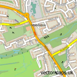
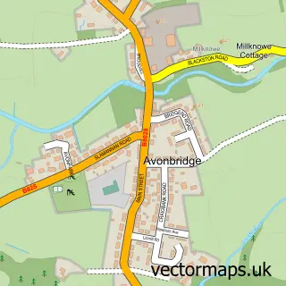
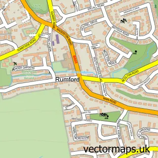
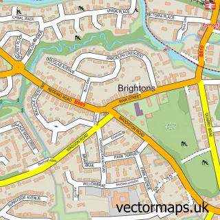
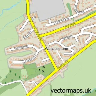
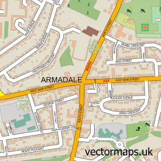
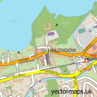
Nearby street map samples around Torphichen

More street maps in West Lothian
750 metre map area coverage
Boundary, postcode and point of interest information for the 750m x 750m rectangle centred on this sample map.
Boundaries containing map centre
Constituency: Bathgate and Linlithgow Co Const
District: West Lothian
Icb: Lothian
Postcode District: EH48
Postcode Sector: EH48 4
Ward: Armadale and Blackridge Ward
Nearby boundaries intersecting sample
No additional intersecting boundaries found.
Postcode coverage
POI category counts
Church Cathedral: 2
Bridal Shop: 1
Campground: 1
Community Center: 1
Community Services Non Profits: 1
Educational Services: 1
Electrician: 1
Elementary School: 1
Ethical Grocery: 1
Nutritionist: 1
Sample points of interest
- Net-Weddings
- The Craigs Campsite
- Torphichen Kirk
- Torphichen Preceptory
- Torphichen Community Education Centre
- Torphichen Summer Nights Music Society
- Love Outdoor Learning
- Clan Electrical
- Torphichen Primary School
- Coffee Direct
- Replenish Nutrition
- Torphicen Muga
Create a larger editable map of Torphichen
This sample shows only a 750 metre area. To create a larger map of Torphichen, use our map builder to choose your own coverage area, add titles and download editable SVG, PDF and PNG files.
Create a custom map of Torphichen