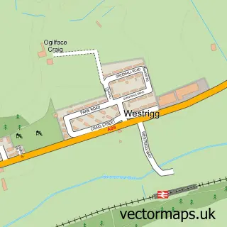
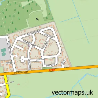
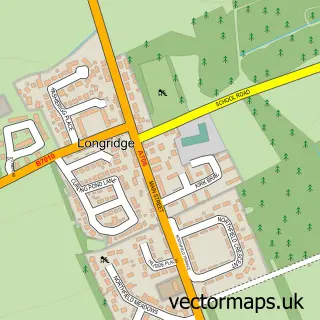
This Armadale street map is a detailed vector street map covering a 750m x 750m area. Select a larger area to create and download your own vector street map of Armadale.
The 750-metre map sample for Armadale covers 465 mapped buildings and approximately 17.3 km of road detail, of which 32 named roads are named. The immediate area includes 1 GP surgery, 4 pubs and 11 MOT stations within 2 miles. The wider area around Armadale features 2 tourism points of interest and 13 food and drink venues. To create a larger or custom map of Armadale, the map builder lets you define your own coverage area and download editable SVG, PDF and PNG files.
Create a larger editable map of Armadale
Choose any area you need and generate a high-quality vector map instantly. Perfect for print, planning, design, business and personal use.

This Armadale street map in West Lothian is available as downloadable SVG, PDF and PNG map files, or as a printed map for planning, business, display, education, local information and design work. You can also create a larger custom map area using the map selector.
What this Armadale map sample shows
Armadale lies within West Lothian parish, part of Armadale And Blackridge ward in the West Lothian local authority area. The postcode geography for this area includes the EH postcode area, the EH48 postcode district and the EH48 2 postcode sector. Residents fall under the Lothian for NHS services.
Local features near Armadale
Within 2 milesAmenities and services in and around Armadale.
Administrative and postcode information for Armadale
Armadale lies within West Lothian parish, part of Armadale And Blackridge ward in the West Lothian local authority area. The postcode geography for this area includes the EH postcode area, the EH48 postcode district and the EH48 2 postcode sector. Residents fall under the Lothian for NHS services.
Nearby street map samples around Armadale

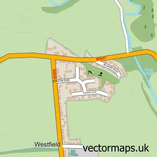
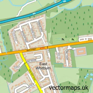
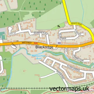
More street maps in West Lothian
750 metre map area coverage
Boundary, postcode and point of interest information for the 750m x 750m rectangle centred on this sample map.
Boundaries containing map centre
Constituency: Bathgate and Linlithgow Co Const
District: West Lothian
Icb: Lothian
Postcode District: EH48
Postcode Sector: EH48 3
Ward: Armadale and Blackridge Ward
Nearby boundaries intersecting sample
Postcode Sector: EH48 2
Postcode coverage
POI category counts
Beauty Salon: 14
Hair Salon: 7
Convenience Store: 6
Pharmacy: 5
Bar: 4
Beauty And Spa: 4
Fast Food Restaurant: 4
Pub: 4
Real Estate Agent: 4
Barber: 3
Sample points of interest
- Lonmay Accountancy
- Armadale Watson Memorial Bowling Club
- Armadale & District War Memorial Association
- The Wool & Card Shop
- Hoppers auction
- Walker Vehicle Maintenance
- Pretty Little Treats
- R Mathieson
- RBS
- Armadale Public House Society
- Coppies Bar
- Corrie Bar
Create a larger editable map of Armadale
This sample shows only a 750 metre area. To create a larger map of Armadale, use our map builder to choose your own coverage area, add titles and download editable SVG, PDF and PNG files.
Create a custom map of Armadale