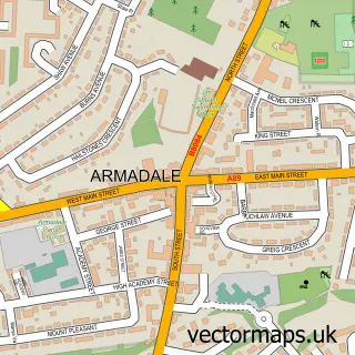
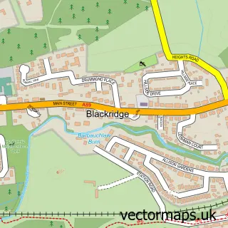
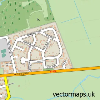
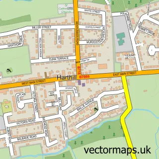
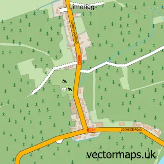
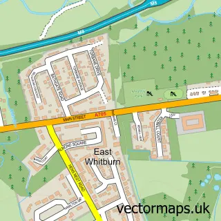
This Westrigg street map is a detailed vector street map covering a 750m x 750m area. Select a larger area to create and download your own vector street map of Westrigg.
The 750-metre map sample for Westrigg covers 63 mapped buildings and approximately 5.2 km of road detail, of which 11 named roads are named. The immediate area includes 1 railway station, 1 GP surgery within 2 miles and 2 MOT stations within 2 miles. The wider area around Westrigg features 1 tourism point of interest. To create a larger or custom map of Westrigg, the map builder lets you define your own coverage area and download editable SVG, PDF and PNG files.
Create a larger editable map of Westrigg
Choose any area you need and generate a high-quality vector map instantly. Perfect for print, planning, design, business and personal use.

This Westrigg street map in West Lothian is available as downloadable SVG, PDF and PNG map files, or as a printed map for planning, business, display, education, local information and design work. You can also create a larger custom map area using the map selector.
What this Westrigg map sample shows
Westrigg lies within West Lothian parish, part of Armadale And Blackridge ward in the West Lothian local authority area. The postcode geography for this area includes the EH postcode area, the EH48 postcode district and the EH48 3 postcode sector. Residents fall under the Lothian for NHS services.
Local features near Westrigg
Within 2 milesAmenities and services in and around Westrigg.
Administrative and postcode information for Westrigg
Westrigg lies within West Lothian parish, part of Armadale And Blackridge ward in the West Lothian local authority area. The postcode geography for this area includes the EH postcode area, the EH48 postcode district and the EH48 3 postcode sector. Residents fall under the Lothian for NHS services.
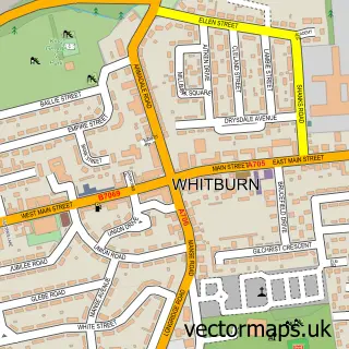
Nearby street map samples around Westrigg

More street maps in West Lothian
750 metre map area coverage
Boundary, postcode and point of interest information for the 750m x 750m rectangle centred on this sample map.
Boundaries containing map centre
Constituency: Bathgate and Linlithgow Co Const
District: West Lothian
Icb: Lothian
Postcode District: EH48
Postcode Sector: EH48 3
Ward: Armadale and Blackridge Ward
Nearby boundaries intersecting sample
No additional intersecting boundaries found.
Postcode coverage
POI category counts
Train Station: 3
Doctor: 2
It Service And Computer Repair: 1
Janitorial Services: 1
Junk Removal And Hauling: 1
Oil And Gas: 1
Park: 1
Plastic Injection Molding Workshop: 1
Roofing: 1
Sample points of interest
- Barbauchlaw Medical Practice (Blackridge)
- Blackridge Health Centre
- MacAttack IT
- phs Group (Blackridge)
- Phs Group Plc
- Bryce Oils
- Westrigg Park
- Glossbrook Engineering Ltd.
- Lindsay Roofing and Roughcasting
- Blackridge
- Blackridge Railway Station (BKR)
- Blackridge Station
Create a larger editable map of Westrigg
This sample shows only a 750 metre area. To create a larger map of Westrigg, use our map builder to choose your own coverage area, add titles and download editable SVG, PDF and PNG files.
Create a custom map of Westrigg