Vector Maps logo
Home Why it works Popular maps Districts Samples Customizer Create Your Map
VectorMaps.uk
Home Popular maps Districts Samples Customizer Create Your Map Privacy Disclaimer
Home / UK Maps / City of Edinburgh / Kirkliston Map

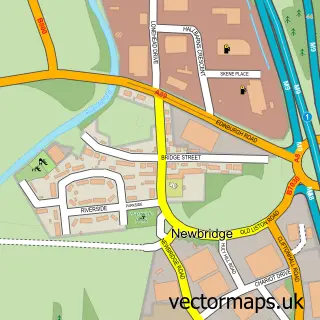
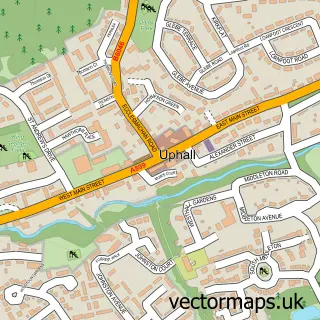
This Kirkliston street map is a detailed vector street map covering a 750m x 750m area. Select a larger area to create and download your own vector street map of Kirkliston.

Kirkliston is a town in City Of Edinburgh, in the Lothian of Scotland. Historically, the area formed part of West Lothian. The settlement falls within the Edinburgh West parliamentary constituency. It is served by the EH29 postcode district, with EH29 9 a

The 750-metre map sample for Kirkliston covers 580 mapped buildings and approximately 18.8 km of road detail, of which 41 named roads are named. The immediate area includes 1 GP surgery, 1 pub and 1 MOT station, with 6 within 2 miles. The wider area around Kirkliston features 2 food and drink venues, 1 hotel and 1 campsite within 2 miles. To create a larger or custom map of Kirkliston, the map builder lets you define your own coverage area and download editable SVG, PDF and PNG files.

580Buildings
18.79 kmRoads
41Named roads
0Residents within 2 miles
Create your own

Create a larger editable map of Kirkliston

Choose any area you need and generate a high-quality vector map instantly. Perfect for print, planning, design, business and personal use.

Choose any location
Editable SVG files
Any size up to A0
PDF, PNG & more
Instant download
High quality guaranteed
Create My Custom Map
Secure, private & no credit card required
Kirkliston Vector Street Map
750m Sample
Kirkliston vector street map sample showing roads, buildings and local features in a 750 metre preview area
Buy Kirkliston Map Print from £12.95 Buy Kirkliston Digital Map from £6

This Kirkliston street map in City of Edinburgh is available as downloadable SVG, PDF and PNG map files, or as a printed map for planning, business, display, education, local information and design work. You can also create a larger custom map area using the map selector.

What this Kirkliston map sample shows

Kirkliston lies within City Of Edinburgh parish, part of Almond ward in the City Of Edinburgh local authority area. The postcode geography for this area includes the EH postcode area, the EH29 postcode district and the EH29 9 postcode sector. Residents fall under the Lothian for NHS services.

Local features near Kirkliston

Within 2 miles

Amenities and services in and around Kirkliston.

1 Campsites within 2 miles
1 GP surgeries 1 within 2 miles
1 MOT stations 6 within 2 miles
2 Food & drink
1 Pubs
1 Hotels
6 Healthcare POIs
2 Vehicle services

Counts are approximate and based on publicly available data.

Administrative and postcode information for Kirkliston

The local authority covering Kirkliston is City Of Edinburgh, within the county of City Of Edinburgh. The settlement lies within Almond ward and City Of Edinburgh civil parish. The EH29 postcode district and EH29 9 postcode sector serve the immediate area. NHS provision in the area is delivered through Lothian.

Parish CITY OF EDINBURGH
Ward Almond
District / local authority City of Edinburgh
County City of Edinburgh
Historic county West Lothian
Postcode district EH29
Postcode sector EH29 9
Parliamentary constituency Edinburgh West
Region Lothian
Country Scotland

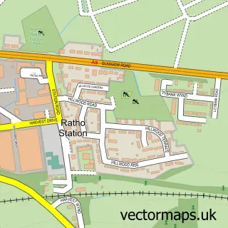
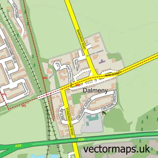
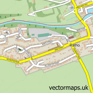
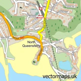
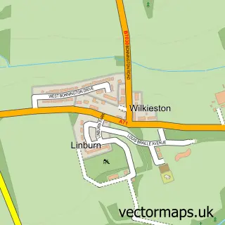
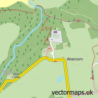
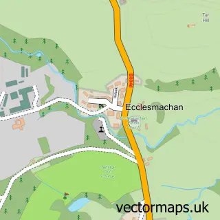
Nearby street map samples around Kirkliston

Street map sample of Edinburgh, City of Edinburgh Edinburgh City - City of Edinburgh - 8.3 miles Street map sample of Newbridge, City of Edinburgh Newbridge Village - City of Edinburgh - 1.2 miles Street map sample of Ratho Station, City of Edinburgh Ratho Station Village - City of Edinburgh - 1.4 miles Street map sample of Dalmeny, City of Edinburgh Dalmeny Village - City of Edinburgh - 2.1 miles Street map sample of Ratho, City of Edinburgh Ratho Village - City of Edinburgh - 2.5 miles Street map sample of North Queensferry, Fife North Queensferry Village - Fife - 3.7 miles Street map sample of Wilkieston, West Lothian Wilkieston Village - West Lothian - 3.8 miles Street map sample of Abercorn, West Lothian Abercorn Village - West Lothian - 3.9 miles Street map sample of Ecclesmachan, West Lothian Ecclesmachan Village - West Lothian - 4.2 miles Street map sample of Uphall, West Lothian Uphall Village - West Lothian - 4.4 miles

More street maps in City of Edinburgh

Street map sample of Newbridge, City of Edinburgh Newbridge Village - 1.2 miles Street map sample of Ratho Station, City of Edinburgh Ratho Station Village - 1.4 miles Street map sample of Dalmeny, City of Edinburgh Dalmeny Village - 2.1 miles Street map sample of South Queensferry, City of Edinburgh South Queensferry Town - 2.4 miles Street map sample of Ratho, City of Edinburgh Ratho Village - 2.5 miles

750 metre map area coverage

Boundary, postcode and point of interest information for the 750m x 750m rectangle centred on this sample map.

Boundaries containing map centre

Constituency: Edinburgh West Burgh Const

District: City of Edinburgh

Icb: Lothian

Postcode District: EH29

Postcode Sector: EH29 9

Ward: Almond Ward

Nearby boundaries intersecting sample

No additional intersecting boundaries found.

Postcode coverage

EH29 EH29 9

POI category counts

Beauty Salon: 3

Doctor: 3

Automotive Repair: 2

Building Supply Store: 2

Church Cathedral: 2

Convenience Store: 2

Gym: 2

Korean Grocery Store: 2

Pharmacy: 2

Printing Services: 2

Sample points of interest

  • Wool and Craft Station Arts And Crafts
  • Brian D Hepburn Automotive Repair
  • Crown Grove Garage Services Automotive Repair
  • Bewitched Salon Beauty Salon
  • MR. FELLA & Me. Bella Sassoon Beauty Salon
  • Mara Beauty Beauty Salon
  • Andrew Frater Building Supply Store
  • PMD Refrigeration Ltd Building Supply Store
  • Leaps & Bounds Nursery Campus Building
  • Buchanan Joinery Carpenter
  • Kirkliston Parish Church Catholic Church
  • Lucky House Chinese Restaurant

Create a larger editable map of Kirkliston

This sample shows only a 750 metre area. To create a larger map of Kirkliston, use our map builder to choose your own coverage area, add titles and download editable SVG, PDF and PNG files.

Create a custom map of Kirkliston

Phone 01751 473136 | Copyright Vectormaps.uk 2026

Samples Customizer Privacy Disclaimer
Kirkliston Vector Street Map
Kirkliston enlarged street map sample showing a 750 metre preview area