Vector Maps logo
Home Why it works Popular maps Districts Samples Customizer Create Your Map
VectorMaps.uk
Home Popular maps Districts Samples Customizer Create Your Map Privacy Disclaimer
Home / UK Maps / West Lothian / Wilkieston Map

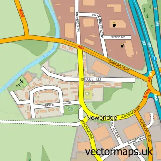
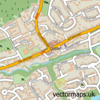
This Wilkieston street map is a detailed vector street map covering a 750m x 750m area. Select a larger area to create and download your own vector street map of Wilkieston.

Wilkieston is a village in West Lothian, in the Lothian of Scotland. Historically, the area formed part of Midlothian. The settlement falls within the Livingston parliamentary constituency. It is served by the EH27 postcode district, with EH27 8 as the lo

The 750-metre map sample for Wilkieston covers 63 mapped buildings and approximately 7.5 km of road detail, of which 4 named roads are named. The immediate area includes 1 GP surgery within 2 miles and 3 MOT stations within 2 miles. The wider area around Wilkieston features 2 tourism points of interest and 1 campsite within 2 miles. To create a larger or custom map of Wilkieston, the map builder lets you define your own coverage area and download editable SVG, PDF and PNG files.

63Buildings
7.47 kmRoads
4Named roads
0Residents within 2 miles
Create your own

Create a larger editable map of Wilkieston

Choose any area you need and generate a high-quality vector map instantly. Perfect for print, planning, design, business and personal use.

Choose any location
Editable SVG files
Any size up to A0
PDF, PNG & more
Instant download
High quality guaranteed
Create My Custom Map
Secure, private & no credit card required
Wilkieston Vector Street Map
750m Sample
Wilkieston vector street map sample showing roads, buildings and local features in a 750 metre preview area
Buy Wilkieston Map Print from £12.95 Buy Wilkieston Digital Map from £6

This Wilkieston street map in West Lothian is available as downloadable SVG, PDF and PNG map files, or as a printed map for planning, business, display, education, local information and design work. You can also create a larger custom map area using the map selector.

What this Wilkieston map sample shows

Wilkieston lies within West Lothian parish, part of East Livingston And East Calder ward in the West Lothian local authority area. The postcode geography for this area includes the EH postcode area, the EH27 postcode district and the EH27 8 postcode sector. Residents fall under the Lothian for NHS services.

Local features near Wilkieston

Within 2 miles

Amenities and services in and around Wilkieston.

1 Campsites within 2 miles
1 GP surgeries within 2 miles
3 MOT stations within 2 miles
2 Tourism & leisure
1 Healthcare POIs

Counts are approximate and based on publicly available data.

Administrative and postcode information for Wilkieston

Wilkieston lies within West Lothian parish, part of East Livingston And East Calder ward in the West Lothian local authority area. The postcode geography for this area includes the EH postcode area, the EH27 postcode district and the EH27 8 postcode sector. Residents fall under the Lothian for NHS services.

Parish WEST LOTHIAN
Ward East Livingston and East Calder
District / local authority West Lothian
County West Lothian
Historic county Midlothian
Postcode district EH27
Postcode sector EH27 8
Parliamentary constituency Livingston
Region Lothian
Country Scotland

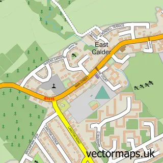
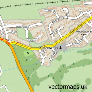
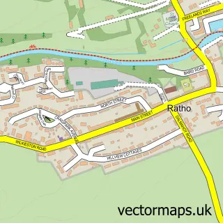
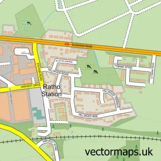
Nearby street map samples around Wilkieston

Street map sample of East Calder, West Lothian East Calder Town - West Lothian - 2.2 miles Street map sample of Edinburgh, City of Edinburgh Edinburgh City - City of Edinburgh - 9.2 miles Street map sample of Kirknewton, West Lothian Kirknewton Village - West Lothian - 1.1 miles Street map sample of Ratho, City of Edinburgh Ratho Village - City of Edinburgh - 1.7 miles Street map sample of Ratho Station, City of Edinburgh Ratho Station Village - City of Edinburgh - 2.6 miles Street map sample of Newbridge, City of Edinburgh Newbridge Village - City of Edinburgh - 2.6 miles Street map sample of Mid Calder, West Lothian Mid Calder Village - West Lothian - 3.0 miles Street map sample of Pumpherston, West Lothian Pumpherston Village - West Lothian - 3.4 miles Street map sample of Uphall Station, West Lothian Uphall Station Village - West Lothian - 3.8 miles Street map sample of Uphall, West Lothian Uphall Village - West Lothian - 4.3 miles

More street maps in West Lothian

Street map sample of Kirknewton, West Lothian Kirknewton Village - 1.1 miles Street map sample of East Calder, West Lothian East Calder Town - 2.2 miles Street map sample of Mid Calder, West Lothian Mid Calder Village - 3.0 miles Street map sample of Broxburn, West Lothian Broxburn Town - 3.3 miles Street map sample of Pumpherston, West Lothian Pumpherston Village - 3.4 miles

750 metre map area coverage

Boundary, postcode and point of interest information for the 750m x 750m rectangle centred on this sample map.

Boundaries containing map centre

Constituency: Livingston Co Const

District: West Lothian

Icb: Lothian

Postcode District: EH27

Postcode Sector: EH27 8

Ward: East Livingston and East Calder Ward

Nearby boundaries intersecting sample

Constituency: Edinburgh West Burgh Const

District: City of Edinburgh

Ward: Pentland Hills Ward

Postcode coverage

EH27 EH27 8

POI category counts

Charity Organization: 1

Childrens Clothing Store: 1

History Museum: 1

Home Service: 1

Hospital: 1

Music School: 1

Park: 1

Sample points of interest

  • Veterans Hub Scotland Charity Organization
  • Scottish War Blinded Childrens Clothing Store
  • Military Museum Scotland SCIO History Museum
  • Angela Elizabeth Nursery Home Service
  • Linburn Centre Hospital
  • All Strung Out Guitar School Music School
  • Linburn park Park

Create a larger editable map of Wilkieston

This sample shows only a 750 metre area. To create a larger map of Wilkieston, use our map builder to choose your own coverage area, add titles and download editable SVG, PDF and PNG files.

Create a custom map of Wilkieston

Phone 01751 473136 | Copyright Vectormaps.uk 2026

Samples Customizer Privacy Disclaimer
Wilkieston Vector Street Map
Wilkieston enlarged street map sample showing a 750 metre preview area