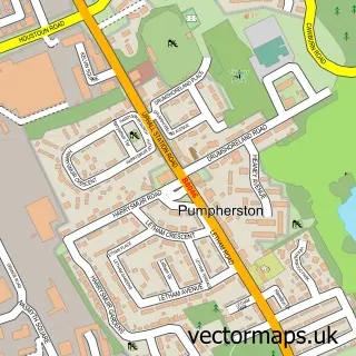
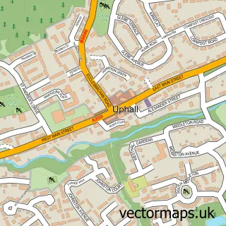
This Kirknewton street map is a detailed vector street map covering a 750m x 750m area. Select a larger area to create and download your own vector street map of Kirknewton.
The 750-metre map sample for Kirknewton covers 259 mapped buildings and approximately 10.6 km of road detail, of which 17 named roads are named. The immediate area includes 1 GP surgery within 2 miles and 3 MOT stations within 2 miles. The wider area around Kirknewton features 1 tourism point of interest, 1 food and drink venue and 2 campsites within 2 miles. To create a larger or custom map of Kirknewton, the map builder lets you define your own coverage area and download editable SVG, PDF and PNG files.
Create a larger editable map of Kirknewton
Choose any area you need and generate a high-quality vector map instantly. Perfect for print, planning, design, business and personal use.

This Kirknewton street map in West Lothian is available as downloadable SVG, PDF and PNG map files, or as a printed map for planning, business, display, education, local information and design work. You can also create a larger custom map area using the map selector.
What this Kirknewton map sample shows
Kirknewton lies within West Lothian parish, part of East Livingston And East Calder ward in the West Lothian local authority area. The postcode geography for this area includes the EH postcode area, the EH27 postcode district and the EH27 8 postcode sector. Residents fall under the Lothian for NHS services.
Local features near Kirknewton
Within 2 milesAmenities and services in and around Kirknewton.
Administrative and postcode information for Kirknewton
The local authority covering Kirknewton is West Lothian, within the county of West Lothian. The settlement lies within East Livingston And East Calder ward and West Lothian civil parish. The EH27 postcode district and EH27 8 postcode sector serve the immediate area. NHS provision in the area is delivered through Lothian.
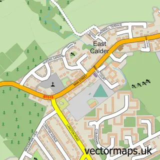
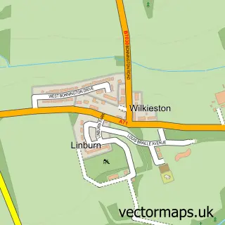
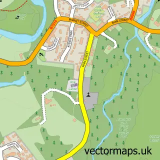
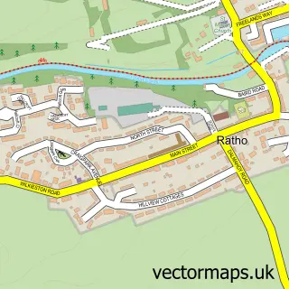
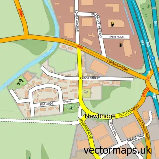
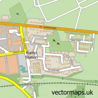
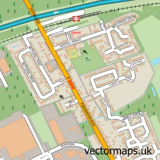
Nearby street map samples around Kirknewton

More street maps in West Lothian
750 metre map area coverage
Boundary, postcode and point of interest information for the 750m x 750m rectangle centred on this sample map.
Boundaries containing map centre
Constituency: Livingston Co Const
District: West Lothian
Icb: Lothian
Postcode District: EH27
Postcode Sector: EH27 8
Ward: East Livingston and East Calder Ward
Nearby boundaries intersecting sample
No additional intersecting boundaries found.
Postcode coverage
POI category counts
Building Supply Store: 2
Convenience Store: 2
Event Planning: 2
Pharmacy: 2
Shipping Center: 2
Video Film Production: 2
Active Life: 1
Business Manufacturing And Supply: 1
Dog Walkers: 1
Environmental Conservation Organization: 1
Sample points of interest
- Harperrig Trout Fishery
- Logan Electrical Services Ltd
- Mullen Joinery
- Macmurchie Bagpipe Makers
- Festival Stores
- Premier Festival Stores
- Braw Dogs
- Trusson Efficiency Solutions
- Baby Matters
- The Green Room
- Marmaris Inn Takeaway
- Steve's Gardening and Landscaping
Create a larger editable map of Kirknewton
This sample shows only a 750 metre area. To create a larger map of Kirknewton, use our map builder to choose your own coverage area, add titles and download editable SVG, PDF and PNG files.
Create a custom map of Kirknewton