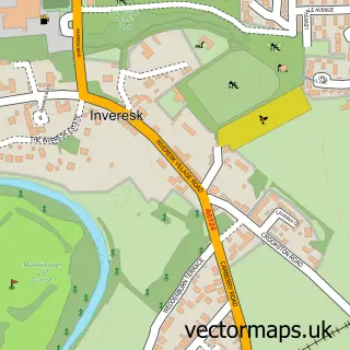
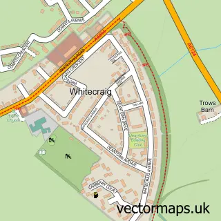
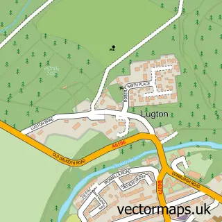
This Musselburgh street map is a detailed vector street map covering a 750m x 750m area. Select a larger area to create and download your own vector street map of Musselburgh.
The 750-metre map sample for Musselburgh covers 268 mapped buildings and approximately 22.5 km of road detail, of which 44 named roads are named. The immediate area includes 2 GP surgeries within 2 miles, 11 pubs and 8 MOT stations within 2 miles. The wider area around Musselburgh features 5 tourism points of interest, 27 food and drink venues and 1 campsite within 2 miles. To create a larger or custom map of Musselburgh, the map builder lets you define your own coverage area and download editable SVG, PDF and PNG files.
Create a larger editable map of Musselburgh
Choose any area you need and generate a high-quality vector map instantly. Perfect for print, planning, design, business and personal use.

This Musselburgh street map in East Lothian is available as downloadable SVG, PDF and PNG map files, or as a printed map for planning, business, display, education, local information and design work. You can also create a larger custom map area using the map selector.
What this Musselburgh map sample shows
Musselburgh lies within East Lothian parish, part of Musselburgh ward in the East Lothian local authority area. The postcode geography for this area includes the EH postcode area, the EH21 postcode district and the EH21 7 postcode sector. Residents fall under the Lothian for NHS services.
Local features near Musselburgh
Within 2 milesAmenities and services in and around Musselburgh.
Administrative and postcode information for Musselburgh
The local authority covering Musselburgh is East Lothian, within the county of East Lothian. The settlement lies within Musselburgh ward and East Lothian civil parish. The EH21 postcode district and EH21 7 postcode sector serve the immediate area. NHS provision in the area is delivered through Lothian.
Nearby street map samples around Musselburgh

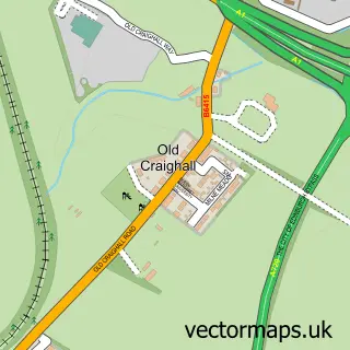
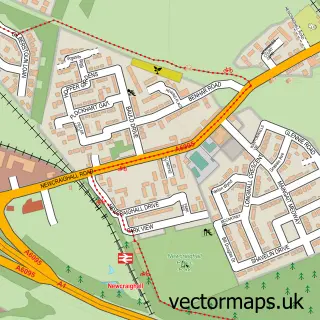
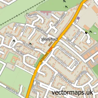
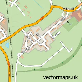
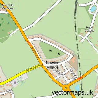
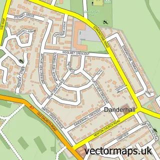
More street maps in East Lothian
750 metre map area coverage
Boundary, postcode and point of interest information for the 750m x 750m rectangle centred on this sample map.
Boundaries containing map centre
Constituency: Edinburgh East and Musselburgh Burgh Const
District: East Lothian
Icb: Lothian
Postcode District: EH21
Postcode Sector: EH21 7
Ward: Musselburgh Ward
Nearby boundaries intersecting sample
Postcode Sector: EH21 6
Postcode coverage
POI category counts
Pub: 11
Cafe: 10
Pharmacy: 9
Beauty Salon: 8
Dentist: 8
Barber: 7
Church Cathedral: 7
Gym: 7
Building Supply Store: 6
Professional Services: 6
Sample points of interest
- Stewart & Cumming Ltd.
- MELD New
- Walk Your Path
- Scottish Kennel Club
- ihc Architecture
- DTP Southfield
- Halimah
- Brunton Court
- The Wee Plot
- St Johns Hearing Aid Centre
- Bumper To Bumper
- Stealth Systems
Create a larger editable map of Musselburgh
This sample shows only a 750 metre area. To create a larger map of Musselburgh, use our map builder to choose your own coverage area, add titles and download editable SVG, PDF and PNG files.
Create a custom map of Musselburgh