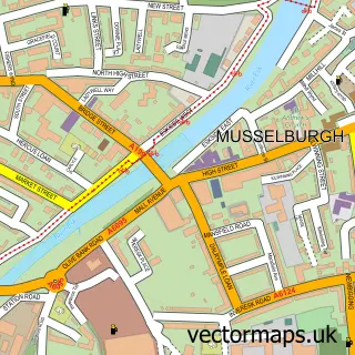
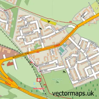
This Whitecraig street map is a detailed vector street map covering a 750m x 750m area. Select a larger area to create and download your own vector street map of Whitecraig.
The 750-metre map sample for Whitecraig covers 265 mapped buildings and approximately 7.6 km of road detail, of which 11 named roads are named. The immediate area includes 2 GP surgeries within 2 miles and 5 MOT stations within 2 miles. The wider area around Whitecraig features 1 tourism point of interest and 1 food and drink venue. To create a larger or custom map of Whitecraig, the map builder lets you define your own coverage area and download editable SVG, PDF and PNG files.
Create a larger editable map of Whitecraig
Choose any area you need and generate a high-quality vector map instantly. Perfect for print, planning, design, business and personal use.

This Whitecraig street map in East Lothian is available as downloadable SVG, PDF and PNG map files, or as a printed map for planning, business, display, education, local information and design work. You can also create a larger custom map area using the map selector.
What this Whitecraig map sample shows
Whitecraig lies within East Lothian parish, part of Tranent, Wallyford And Macmerry ward in the East Lothian local authority area. The postcode geography for this area includes the EH postcode area, the EH21 postcode district and the EH21 8 postcode sector. Residents fall under the Lothian for NHS services.
Local features near Whitecraig
Within 2 milesAmenities and services in and around Whitecraig.
Administrative and postcode information for Whitecraig
Whitecraig lies within East Lothian parish, part of Tranent, Wallyford And Macmerry ward in the East Lothian local authority area. The postcode geography for this area includes the EH postcode area, the EH21 postcode district and the EH21 8 postcode sector. Residents fall under the Lothian for NHS services.
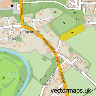
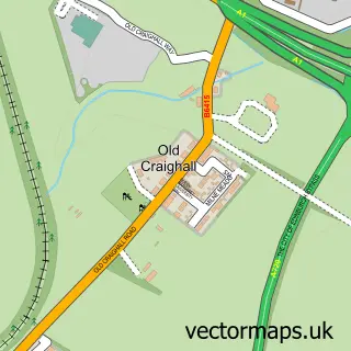
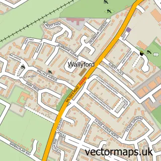
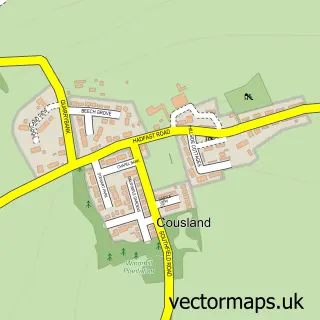
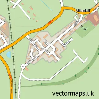
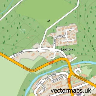
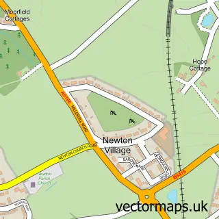
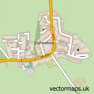
Nearby street map samples around Whitecraig

More street maps in East Lothian
750 metre map area coverage
Boundary, postcode and point of interest information for the 750m x 750m rectangle centred on this sample map.
Boundaries containing map centre
Constituency: Lothian East Co Const
District: East Lothian
Icb: Lothian
Postcode District: EH21
Postcode Sector: EH21 8
Ward: Tranent, Wallyford and Macmerry Ward
Nearby boundaries intersecting sample
Postcode District: EH22
Postcode Sector: EH22 2
Postcode coverage
POI category counts
Post Office: 2
Recreational Vehicle Dealer: 2
Agricultural Service: 1
Automotive Repair: 1
Bar And Grill Restaurant: 1
Building Supply Store: 1
Car Rental Agency: 1
Community Center: 1
Construction Services: 1
Convenience Store: 1
Sample points of interest
- Lloyd Ltd Lothians
- East Coast Garage
- The Mercat Grill
- European Kitchens & Bathrooms
- Roseisle Campervan Hire
- Whitecraig Community Centre
- Plastering Scotland
- Whitecraig General Store
- Prronto
- Whitecraig Primary School
- Connected Kerb Charging Stations
- Evri ParcelShop
Create a larger editable map of Whitecraig
This sample shows only a 750 metre area. To create a larger map of Whitecraig, use our map builder to choose your own coverage area, add titles and download editable SVG, PDF and PNG files.
Create a custom map of Whitecraig