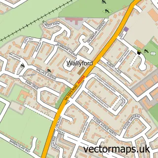
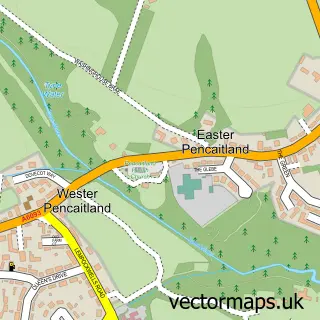
This Elphinstone street map is a detailed vector street map covering a 750m x 750m area. Select a larger area to create and download your own vector street map of Elphinstone.
The 750-metre map sample for Elphinstone covers 203 mapped buildings and approximately 6.9 km of road detail, of which 9 named roads are named. The immediate area includes 2 GP surgeries within 2 miles and 2 MOT stations, with 7 within 2 miles. To create a larger or custom map of Elphinstone, the map builder lets you define your own coverage area and download editable SVG, PDF and PNG files.
Create a larger editable map of Elphinstone
Choose any area you need and generate a high-quality vector map instantly. Perfect for print, planning, design, business and personal use.

This Elphinstone street map in East Lothian is available as downloadable SVG, PDF and PNG map files, or as a printed map for planning, business, display, education, local information and design work. You can also create a larger custom map area using the map selector.
What this Elphinstone map sample shows
Elphinstone lies within East Lothian parish, part of Tranent, Wallyford And Macmerry ward in the East Lothian local authority area. The postcode geography for this area includes the EH postcode area, the EH33 postcode district and the EH33 2 postcode sector. Residents fall under the Lothian for NHS services.
Local features near Elphinstone
Within 2 milesAmenities and services in and around Elphinstone.
Administrative and postcode information for Elphinstone
Elphinstone lies within East Lothian parish, part of Tranent, Wallyford And Macmerry ward in the East Lothian local authority area. The postcode geography for this area includes the EH postcode area, the EH33 postcode district and the EH33 2 postcode sector. Residents fall under the Lothian for NHS services.
Nearby street map samples around Elphinstone
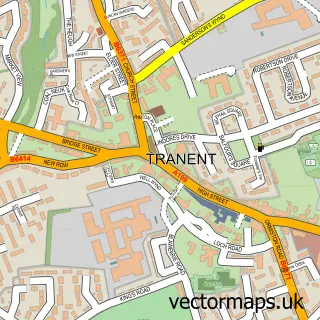

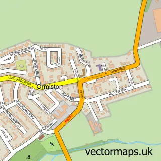
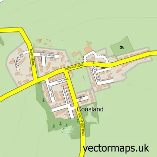
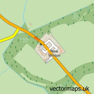
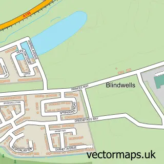
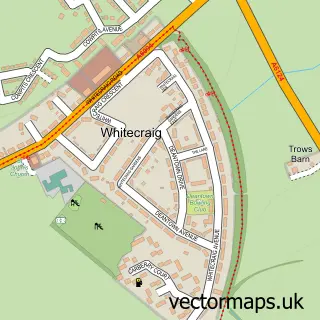
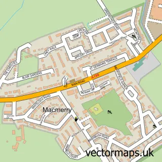
More street maps in East Lothian
750 metre map area coverage
Boundary, postcode and point of interest information for the 750m x 750m rectangle centred on this sample map.
Boundaries containing map centre
Constituency: Lothian East Co Const
District: East Lothian
Icb: Lothian
Postcode District: EH33
Postcode Sector: EH33 2
Ward: Tranent, Wallyford and Macmerry Ward
Nearby boundaries intersecting sample
No additional intersecting boundaries found.
Postcode coverage
POI category counts
Gas Station: 2
Nail Salon: 2
Post Office: 2
Professional Services: 2
Amateur Sports Team: 1
Automotive Repair: 1
Bakery: 1
Bar: 1
Brake Service And Repair: 1
Car Dealer: 1
Sample points of interest
- Elphinstone Bowling Club
- Hope Park Service Station
- Mr Donut Man
- Elphinstone Arms
- East Coast Sports Cars Ltd.
- East Coast Sports Cars
- Premier Gas
- Elphinstone Primary School
- Connected Kerb Charging Stations
- AliClark3DPrinting
- East Lothian Roots & Fruits
- W B Cowan
Create a larger editable map of Elphinstone
This sample shows only a 750 metre area. To create a larger map of Elphinstone, use our map builder to choose your own coverage area, add titles and download editable SVG, PDF and PNG files.
Create a custom map of Elphinstone