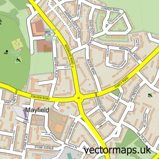
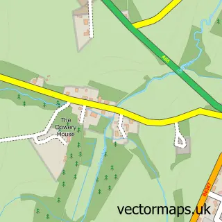
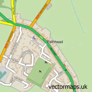
This Cousland street map is a detailed vector street map covering a 750m x 750m area. Select a larger area to create and download your own vector street map of Cousland.
The 750-metre map sample for Cousland covers 140 mapped buildings and approximately 11.7 km of road detail, of which 9 named roads are named. The immediate area includes 1 GP surgery within 2 miles and 2 MOT stations within 2 miles. The wider area around Cousland features 1 tourism point of interest. To create a larger or custom map of Cousland, the map builder lets you define your own coverage area and download editable SVG, PDF and PNG files.
Create a larger editable map of Cousland
Choose any area you need and generate a high-quality vector map instantly. Perfect for print, planning, design, business and personal use.

This Cousland street map in Midlothian is available as downloadable SVG, PDF and PNG map files, or as a printed map for planning, business, display, education, local information and design work. You can also create a larger custom map area using the map selector.
What this Cousland map sample shows
Cousland lies within Midlothian parish, part of Midlothian East ward in the Midlothian local authority area. The postcode geography for this area includes the EH postcode area, the EH22 postcode district and the EH22 2 postcode sector. Residents fall under the Lothian for NHS services.
Local features near Cousland
Within 2 milesAmenities and services in and around Cousland.
Administrative and postcode information for Cousland
Cousland lies within Midlothian parish, part of Midlothian East ward in the Midlothian local authority area. The postcode geography for this area includes the EH postcode area, the EH22 postcode district and the EH22 2 postcode sector. Residents fall under the Lothian for NHS services.
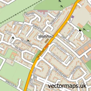
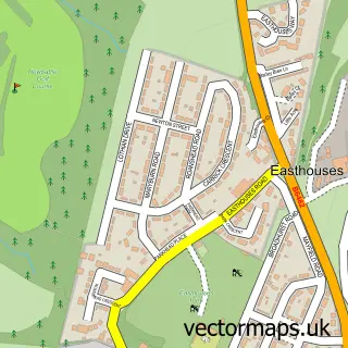
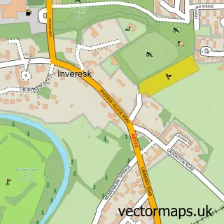
Nearby street map samples around Cousland

More street maps in Midlothian
750 metre map area coverage
Boundary, postcode and point of interest information for the 750m x 750m rectangle centred on this sample map.
Boundaries containing map centre
Constituency: Midlothian Co Const
District: Midlothian
Icb: Lothian
Postcode District: EH22
Postcode Sector: EH22 2
Ward: Midlothian East Ward
Nearby boundaries intersecting sample
No additional intersecting boundaries found.
Postcode coverage
POI category counts
Post Office: 2
Active Life: 1
Community Center: 1
Currency Exchange: 1
Eat And Drink: 1
Farm: 1
Furniture Assembly: 1
Landmark And Historical Building: 1
Sample points of interest
- Fitness & Wellbeing Training
- Cousland Village Hall
- Post Office Travel Money
- Incrededible
- Marshall Wright & Sons Ltd.
- Flawless Upholstery
- Cousland Smiddy Trust
- Cousland Post Office
- Post Office-Cousland
Create a larger editable map of Cousland
This sample shows only a 750 metre area. To create a larger map of Cousland, use our map builder to choose your own coverage area, add titles and download editable SVG, PDF and PNG files.
Create a custom map of Cousland