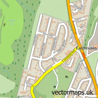
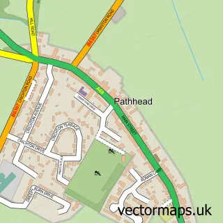
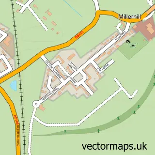
This Mayfield street map is a detailed vector street map covering a 750m x 750m area. Select a larger area to create and download your own vector street map of Mayfield.
The 750-metre map sample for Mayfield covers 334 mapped buildings and approximately 19.1 km of road detail, of which 37 named roads are named. The immediate area includes 2 GP surgeries within 2 miles and 10 MOT stations within 2 miles. The wider area around Mayfield features 1 tourism point of interest and 5 food and drink venues. To create a larger or custom map of Mayfield, the map builder lets you define your own coverage area and download editable SVG, PDF and PNG files.
Create a larger editable map of Mayfield
Choose any area you need and generate a high-quality vector map instantly. Perfect for print, planning, design, business and personal use.

This Mayfield street map in Midlothian is available as downloadable SVG, PDF and PNG map files, or as a printed map for planning, business, display, education, local information and design work. You can also create a larger custom map area using the map selector.
What this Mayfield map sample shows
Mayfield lies within Midlothian parish, part of Midlothian East ward in the Midlothian local authority area. The postcode geography for this area includes the EH postcode area, the EH22 postcode district and the EH22 5 postcode sector. Residents fall under the Lothian for NHS services.
Local features near Mayfield
Within 2 milesAmenities and services in and around Mayfield.
Administrative and postcode information for Mayfield
Mayfield lies within Midlothian parish, part of Midlothian East ward in the Midlothian local authority area. The postcode geography for this area includes the EH postcode area, the EH22 postcode district and the EH22 5 postcode sector. Residents fall under the Lothian for NHS services.
Nearby street map samples around Mayfield

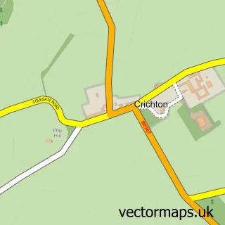
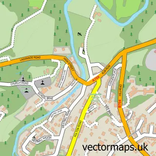
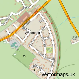
More street maps in Midlothian
750 metre map area coverage
Boundary, postcode and point of interest information for the 750m x 750m rectangle centred on this sample map.
Boundaries containing map centre
Constituency: Midlothian Co Const
District: Midlothian
Icb: Lothian
Postcode District: EH22
Postcode Sector: EH22 5
Ward: Midlothian East Ward
Nearby boundaries intersecting sample
No additional intersecting boundaries found.
Postcode coverage
POI category counts
Grocery Store: 5
Charity Organization: 4
Convenience Store: 4
Beauty Salon: 3
Atms: 2
Building Supply Store: 2
Cafe: 2
Coffee Shop: 2
Community Services Non Profits: 2
Pharmacy: 2
Sample points of interest
- Rana Food Store (Swap), Mayfield
- Scotmid - Mayfield 0105, Mayfield
- RR Car Valeting and Detailing
- Bruno's Barber Shop
- Adore Nails and Beauty
- Hair by Sylvia
- Icandi beauty
- KUBE Hair Design
- Coral
- Sunrise Window Cleaning
- Dalkeith Electrics
- Richard Irvin Energy Solutions
Create a larger editable map of Mayfield
This sample shows only a 750 metre area. To create a larger map of Mayfield, use our map builder to choose your own coverage area, add titles and download editable SVG, PDF and PNG files.
Create a custom map of Mayfield