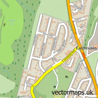
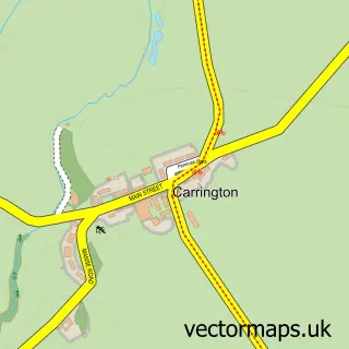
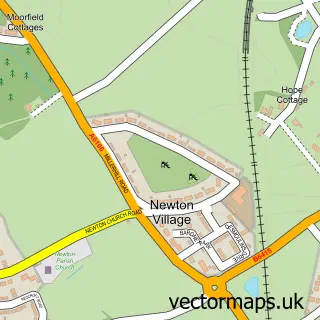
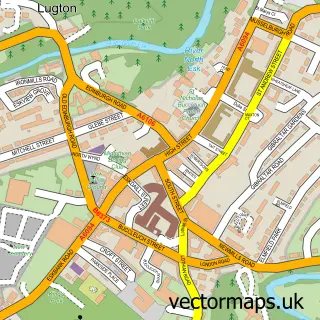
This Newtongrange street map is a detailed vector street map covering a 750m x 750m area. Select a larger area to create and download your own vector street map of Newtongrange.
The 750-metre map sample for Newtongrange covers 393 mapped buildings and approximately 19.6 km of road detail, of which 30 named roads are named. The immediate area includes 1 railway station, 6 GP surgeries within 2 miles, 1 pub and 13 MOT stations within 2 miles. The wider area around Newtongrange features 2 tourism points of interest and 4 food and drink venues. To create a larger or custom map of Newtongrange, the map builder lets you define your own coverage area and download editable SVG, PDF and PNG files.
Create a larger editable map of Newtongrange
Choose any area you need and generate a high-quality vector map instantly. Perfect for print, planning, design, business and personal use.

This Newtongrange street map in Midlothian is available as downloadable SVG, PDF and PNG map files, or as a printed map for planning, business, display, education, local information and design work. You can also create a larger custom map area using the map selector.
What this Newtongrange map sample shows
Newtongrange lies within Midlothian parish, part of Midlothian South ward in the Midlothian local authority area. The postcode geography for this area includes the EH postcode area, the EH22 postcode district and the EH22 4 postcode sector. Residents fall under the Lothian for NHS services.
Local features near Newtongrange
Within 2 milesAmenities and services in and around Newtongrange.
Administrative and postcode information for Newtongrange
The local authority covering Newtongrange is Midlothian, within the county of Midlothian. The settlement lies within Midlothian South ward and Midlothian civil parish. The EH22 postcode district and EH22 4 postcode sector serve the immediate area. NHS provision in the area is delivered through Lothian.
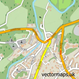
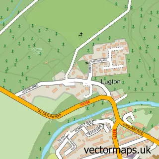
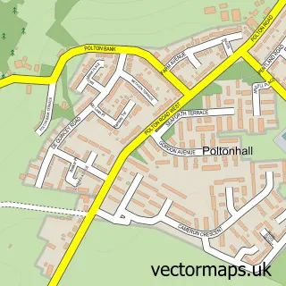
Nearby street map samples around Newtongrange

More street maps in Midlothian
750 metre map area coverage
Boundary, postcode and point of interest information for the 750m x 750m rectangle centred on this sample map.
Boundaries containing map centre
Constituency: Midlothian Co Const
District: Midlothian
Icb: Lothian
Postcode District: EH22
Postcode Sector: EH22 4
Ward: Midlothian South Ward
Nearby boundaries intersecting sample
Postcode District: EH19
Postcode Sector: EH19 3
Postcode coverage
POI category counts
Beauty Salon: 8
Convenience Store: 3
Hair Salon: 3
Package Locker: 3
Pet Groomer: 3
Roofing: 3
Flowers And Gifts Shop: 2
Grocery Store: 2
Martial Arts Club: 2
Park: 2
Sample points of interest
- The Hamilton Agency
- Various
- Park Cottage
- The Cooperative Food (BF) Dalkeith, Newtongrange
- Pastel
- ALP Barbers
- VLOS hairdressing
- Hairwise
- Indulge Beauty
- Jenna's
- KR Aesthetics ltd
- Khd
Create a larger editable map of Newtongrange
This sample shows only a 750 metre area. To create a larger map of Newtongrange, use our map builder to choose your own coverage area, add titles and download editable SVG, PDF and PNG files.
Create a custom map of Newtongrange