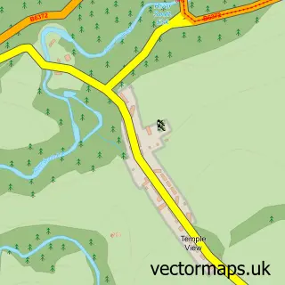
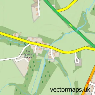
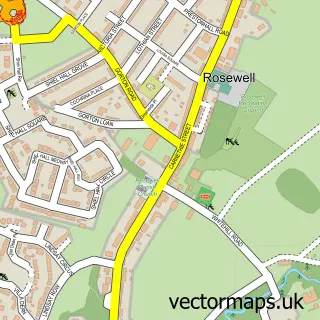
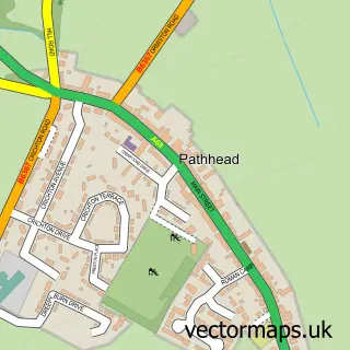
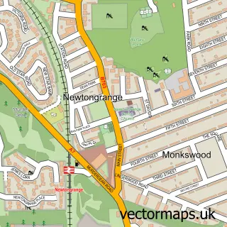
This Gorebridge street map is a detailed vector street map covering a 750m x 750m area. Select a larger area to create and download your own vector street map of Gorebridge.
The 750-metre map sample for Gorebridge covers 466 mapped buildings and approximately 19.3 km of road detail, of which 41 named roads are named. The immediate area includes 1 railway station, 1 GP surgery, with 2 within 2 miles and 1 MOT station, with 5 within 2 miles. The wider area around Gorebridge features 1 food and drink venue. To create a larger or custom map of Gorebridge, the map builder lets you define your own coverage area and download editable SVG, PDF and PNG files.
Create a larger editable map of Gorebridge
Choose any area you need and generate a high-quality vector map instantly. Perfect for print, planning, design, business and personal use.

This Gorebridge street map in Midlothian is available as downloadable SVG, PDF and PNG map files, or as a printed map for planning, business, display, education, local information and design work. You can also create a larger custom map area using the map selector.
What this Gorebridge map sample shows
Gorebridge lies within Midlothian parish, part of Midlothian South ward in the Midlothian local authority area. The postcode geography for this area includes the EH postcode area, the EH23 postcode district and the EH23 4 postcode sector. Residents fall under the Lothian for NHS services.
Local features near Gorebridge
Within 2 milesAmenities and services in and around Gorebridge.
Administrative and postcode information for Gorebridge
Gorebridge lies within Midlothian parish, part of Midlothian South ward in the Midlothian local authority area. The postcode geography for this area includes the EH postcode area, the EH23 postcode district and the EH23 4 postcode sector. Residents fall under the Lothian for NHS services.
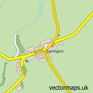
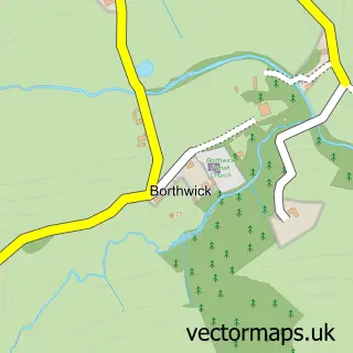
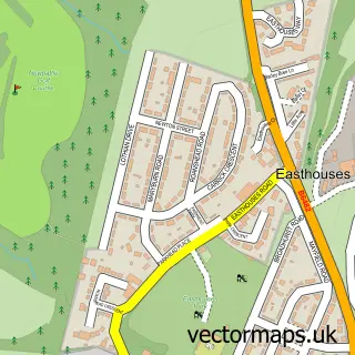
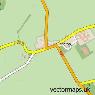
Nearby street map samples around Gorebridge


More street maps in Midlothian
750 metre map area coverage
Boundary, postcode and point of interest information for the 750m x 750m rectangle centred on this sample map.
Boundaries containing map centre
Constituency: Midlothian Co Const
District: Midlothian
Icb: Lothian
Postcode District: EH23
Postcode Sector: EH23 4
Ward: Midlothian South Ward
Nearby boundaries intersecting sample
No additional intersecting boundaries found.
Postcode coverage
POI category counts
Automotive Repair: 4
Convenience Store: 4
Pharmacy: 4
Beauty Salon: 3
Home Service: 3
Beauty And Spa: 2
Business Management Services: 2
Chinese Restaurant: 2
Church Cathedral: 2
Community Services Non Profits: 2
Sample points of interest
- Arniston Rangers Football Club
- Vogrie Hall
- Outback Valeting and Power Washing Services
- Andys House
- Colins 24hr Emergency Breakdown & Recovery Services
- The Inn Garage
- Williamson Bros LTD
- A Smith
- Bank of Scotland
- Envision Aesthetics
- Unique
- Hair By Nathan
Create a larger editable map of Gorebridge
This sample shows only a 750 metre area. To create a larger map of Gorebridge, use our map builder to choose your own coverage area, add titles and download editable SVG, PDF and PNG files.
Create a custom map of Gorebridge