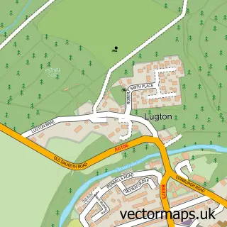
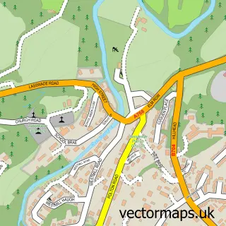
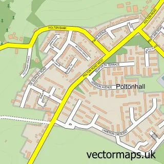
This Dalkeith street map is a detailed vector street map covering a 750m x 750m area. Select a larger area to create and download your own vector street map of Dalkeith.
The 750-metre map sample for Dalkeith covers 279 mapped buildings and approximately 19.4 km of road detail, of which 42 named roads are named. The immediate area includes 1 GP surgery, with 4 within 2 miles, 7 pubs and 4 MOT stations, with 11 within 2 miles. The wider area around Dalkeith features 4 tourism points of interest, 14 food and drink venues and 2 hotels. To create a larger or custom map of Dalkeith, the map builder lets you define your own coverage area and download editable SVG, PDF and PNG files.
Create a larger editable map of Dalkeith
Choose any area you need and generate a high-quality vector map instantly. Perfect for print, planning, design, business and personal use.

This Dalkeith street map in Midlothian is available as downloadable SVG, PDF and PNG map files, or as a printed map for planning, business, display, education, local information and design work. You can also create a larger custom map area using the map selector.
What this Dalkeith map sample shows
Dalkeith lies within Midlothian parish, part of Dalkeith ward in the Midlothian local authority area. The postcode geography for this area includes the EH postcode area, the EH22 postcode district and the EH22 1 postcode sector. Residents fall under the Lothian for NHS services.
Local features near Dalkeith
Within 2 milesAmenities and services in and around Dalkeith.
Administrative and postcode information for Dalkeith
Dalkeith lies within Midlothian parish, part of Dalkeith ward in the Midlothian local authority area. The postcode geography for this area includes the EH postcode area, the EH22 postcode district and the EH22 1 postcode sector. Residents fall under the Lothian for NHS services.
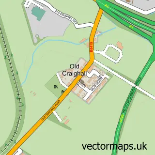
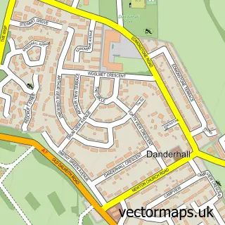
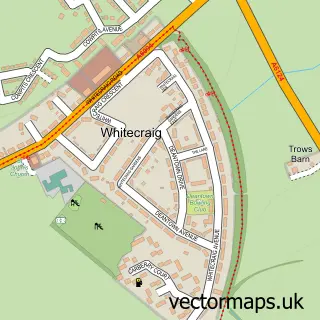
Nearby street map samples around Dalkeith

More street maps in Midlothian
750 metre map area coverage
Boundary, postcode and point of interest information for the 750m x 750m rectangle centred on this sample map.
Boundaries containing map centre
Constituency: Midlothian Co Const
District: Midlothian
Icb: Lothian
Postcode District: EH22
Postcode Sector: EH22 1
Ward: Dalkeith Ward
Nearby boundaries intersecting sample
Postcode Sector: EH22 2, EH22 3
Ward: Midlothian East Ward
Postcode coverage
POI category counts
Charity Organization: 14
Hair Salon: 12
Beauty Salon: 9
Real Estate Agent: 8
Professional Services: 7
Pub: 7
Building Supply Store: 6
Community Services Non Profits: 6
Nail Salon: 6
Banks: 5
Sample points of interest
- Christies
- TaxAssist Accountants
- Malani
- Midlothian Council a L N & E S O L Service
- Douglas Strachan Chartered Architect
- Alan Hardie Architecture: Architectural Consultant
- CSY Architects
- Douglas Strachan - Chartered Architect
- Riccio Gallery
- Riccio Gallery
- Paperlace
- Dalkeith Arts Centre
Create a larger editable map of Dalkeith
This sample shows only a 750 metre area. To create a larger map of Dalkeith, use our map builder to choose your own coverage area, add titles and download editable SVG, PDF and PNG files.
Create a custom map of Dalkeith