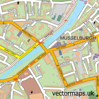
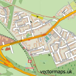
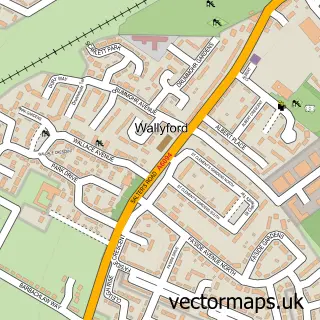
This Old Craighall street map is a detailed vector street map covering a 750m x 750m area. Select a larger area to create and download your own vector street map of Old Craighall.
The 750-metre map sample for Old Craighall covers 77 mapped buildings and approximately 10.0 km of road detail, of which 4 named roads are named. The immediate area includes 3 GP surgeries within 2 miles and 1 MOT station, with 13 within 2 miles. The wider area around Old Craighall features 1 tourism point of interest, 1 food and drink venue and 1 hotel. To create a larger or custom map of Old Craighall, the map builder lets you define your own coverage area and download editable SVG, PDF and PNG files.
Create a larger editable map of Old Craighall
Choose any area you need and generate a high-quality vector map instantly. Perfect for print, planning, design, business and personal use.

This Old Craighall street map in East Lothian is available as downloadable SVG, PDF and PNG map files, or as a printed map for planning, business, display, education, local information and design work. You can also create a larger custom map area using the map selector.
What this Old Craighall map sample shows
Old Craighall lies within East Lothian parish, part of Tranent, Wallyford And Macmerry ward in the East Lothian local authority area. The postcode geography for this area includes the EH postcode area, the EH21 postcode district and the EH21 8 postcode sector. Residents fall under the Lothian for NHS services.
Local features near Old Craighall
Within 2 milesAmenities and services in and around Old Craighall.
Administrative and postcode information for Old Craighall
The local authority covering Old Craighall is East Lothian, within the county of East Lothian. The settlement lies within Tranent, Wallyford And Macmerry ward and East Lothian civil parish. The EH21 postcode district and EH21 8 postcode sector serve the immediate area. NHS provision in the area is delivered through Lothian.
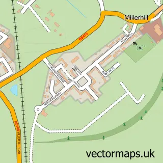
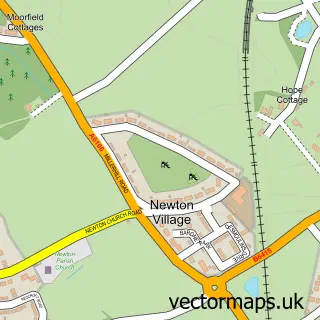
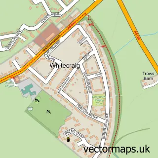
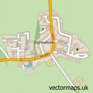
Nearby street map samples around Old Craighall

More street maps in East Lothian
750 metre map area coverage
Boundary, postcode and point of interest information for the 750m x 750m rectangle centred on this sample map.
Boundaries containing map centre
Constituency: Edinburgh East and Musselburgh Burgh Const
District: East Lothian
Icb: Lothian
Postcode District: EH21
Postcode Sector: EH21 8
Ward: Musselburgh Ward
Nearby boundaries intersecting sample
Constituency: Midlothian Co Const
District: Midlothian
Postcode District: EH22
Postcode Sector: EH22 1
Ward: Dalkeith Ward
Postcode coverage
POI category counts
Antique Store: 2
Gas Station: 2
Alternative Medicine: 1
Automotive Repair: 1
College University: 1
Event Planning: 1
Funeral Services And Cemeteries: 1
Hotel: 1
Landmark And Historical Building: 1
Truck Gas Station: 1
Sample points of interest
- Sanas Ancient Wisdom
- Early Technology
- Michael Bennett-Levy
- The Monktonhall Garage
- Queen Margaret University Radiography Society
- Monkton House
- East Lothian Crematorium & Memorial Gardens
- BP
- MRH Service Station
- Travelodge Hotel - Edinburgh Musselburgh
- Old Craighall
- MONKTONHALL - FS573
Create a larger editable map of Old Craighall
This sample shows only a 750 metre area. To create a larger map of Old Craighall, use our map builder to choose your own coverage area, add titles and download editable SVG, PDF and PNG files.
Create a custom map of Old Craighall