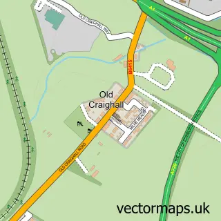
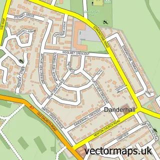
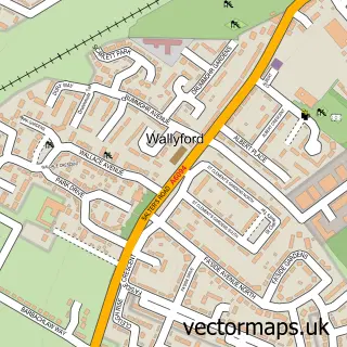
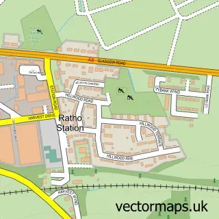
This Newcraighall street map is a detailed vector street map covering a 750m x 750m area. Select a larger area to create and download your own vector street map of Newcraighall.
The 750-metre map sample for Newcraighall covers 351 mapped buildings and approximately 13.0 km of road detail, of which 27 named roads are named. The immediate area includes 1 railway station, 7 GP surgeries within 2 miles, 2 pubs and 16 MOT stations within 2 miles. The wider area around Newcraighall features 2 food and drink venues and 1 hotel. To create a larger or custom map of Newcraighall, the map builder lets you define your own coverage area and download editable SVG, PDF and PNG files.
Create a larger editable map of Newcraighall
Choose any area you need and generate a high-quality vector map instantly. Perfect for print, planning, design, business and personal use.

This Newcraighall street map in City of Edinburgh is available as downloadable SVG, PDF and PNG map files, or as a printed map for planning, business, display, education, local information and design work. You can also create a larger custom map area using the map selector.
What this Newcraighall map sample shows
Newcraighall lies within East Lothian parish, part of Musselburgh ward in the East Lothian local authority area. The postcode geography for this area includes the EH postcode area, the EH21 postcode district and the EH21 7 postcode sector. Residents fall under the Lothian for NHS services.
Local features near Newcraighall
Within 2 milesAmenities and services in and around Newcraighall.
Administrative and postcode information for Newcraighall
The local authority covering Newcraighall is East Lothian, within the county of City Of Edinburgh. The settlement lies within Musselburgh ward and East Lothian civil parish. The EH21 postcode district and EH21 7 postcode sector serve the immediate area. NHS provision in the area is delivered through Lothian.
Nearby street map samples around Newcraighall
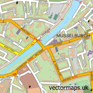

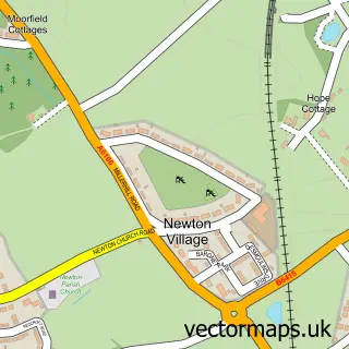
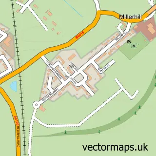
More street maps in City of Edinburgh
750 metre map area coverage
Boundary, postcode and point of interest information for the 750m x 750m rectangle centred on this sample map.
Boundaries containing map centre
Constituency: Edinburgh East and Musselburgh Burgh Const
District: City of Edinburgh
Icb: Lothian
Postcode District: EH21
Postcode Sector: EH21 8
Ward: Portobello/Craigmillar Ward
Nearby boundaries intersecting sample
Constituency: Midlothian Co Const
District: East Lothian, Midlothian
Postcode District: EH15
Postcode Sector: EH15 2
Ward: Dalkeith Ward, Musselburgh Ward
Postcode coverage
POI category counts
Elementary School: 2
Gym: 2
Pub: 2
Tile Store: 2
Train Station: 2
Accountant: 1
Beauty Salon: 1
Boot Camp: 1
Carpet Store: 1
Church Cathedral: 1
Sample points of interest
- Phillip Hills Partnership
- Aroha Hair, Beauty and Tanning
- Evolve Fitness - Edinburgh Bootcamp
- AGN floor coverings ltd
- Wellsprings Community
- Village Express
- Uk Response 247
- Newcraighall Primary School
- Newcraighall Primary School
- Evri ParcelShop
- Beven's Furniture Restoration
- Living Well Health Clubs
Create a larger editable map of Newcraighall
This sample shows only a 750 metre area. To create a larger map of Newcraighall, use our map builder to choose your own coverage area, add titles and download editable SVG, PDF and PNG files.
Create a custom map of Newcraighall