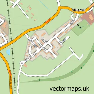
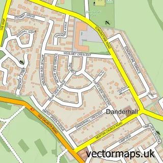
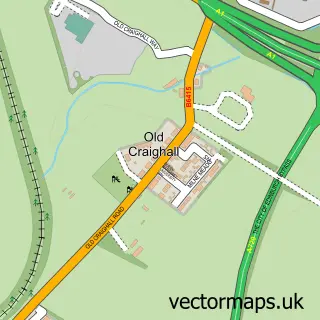
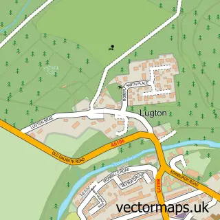
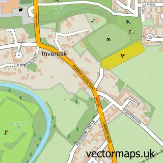
This Newton Village street map is a detailed vector street map covering a 750m x 750m area. Select a larger area to create and download your own vector street map of Newton Village.
The 750-metre map sample for Newton Village covers 120 mapped buildings and approximately 15.1 km of road detail, of which 4 named roads are named. The immediate area includes 4 GP surgeries within 2 miles, 1 pub and 9 MOT stations within 2 miles. The wider area around Newton Village features 1 food and drink venue. To create a larger or custom map of Newton Village, the map builder lets you define your own coverage area and download editable SVG, PDF and PNG files.
Create a larger editable map of Newton Village
Choose any area you need and generate a high-quality vector map instantly. Perfect for print, planning, design, business and personal use.

This Newton Village street map in Midlothian is available as downloadable SVG, PDF and PNG map files, or as a printed map for planning, business, display, education, local information and design work. You can also create a larger custom map area using the map selector.
What this Newton Village map sample shows
Newton Village lies within Midlothian parish, part of Dalkeith ward in the Midlothian local authority area. The postcode geography for this area includes the EH postcode area, the EH22 postcode district and the EH22 1 postcode sector. Residents fall under the Lothian for NHS services.
Local features near Newton Village
Within 2 milesAmenities and services in and around Newton Village.
Administrative and postcode information for Newton Village
Newton Village lies within Midlothian parish, part of Dalkeith ward in the Midlothian local authority area. The postcode geography for this area includes the EH postcode area, the EH22 postcode district and the EH22 1 postcode sector. Residents fall under the Lothian for NHS services.
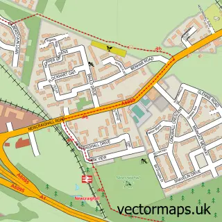
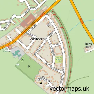
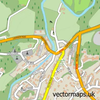
Nearby street map samples around Newton Village

More street maps in Midlothian
750 metre map area coverage
Boundary, postcode and point of interest information for the 750m x 750m rectangle centred on this sample map.
Boundaries containing map centre
Constituency: Midlothian Co Const
District: Midlothian
Icb: Lothian
Postcode District: EH22
Postcode Sector: EH22 1
Ward: Dalkeith Ward
Nearby boundaries intersecting sample
No additional intersecting boundaries found.
Postcode coverage
POI category counts
Hospital: 2
Train Station: 2
Audio Visual Equipment Store: 1
Church Cathedral: 1
Electrician: 1
Information Technology Company: 1
Office Equipment: 1
Pub: 1
Public Service And Government: 1
Sample points of interest
- Audio Light Systems Ltd
- Newton Parish Church
- Boyle Energy
- Spire Shawfair Park Hospital
- Spire Shawfair Park Hospital
- Reaction Website Design
- Zonal Retail Data Systems Ltd.
- Smoggies
- Danderhall Cemetery
- Shawfair
- Shawfair railway station
Create a larger editable map of Newton Village
This sample shows only a 750 metre area. To create a larger map of Newton Village, use our map builder to choose your own coverage area, add titles and download editable SVG, PDF and PNG files.
Create a custom map of Newton Village